Fire Weather Forecasts and Information
|
|||||||||||||||||||||||||||||||||||||||||||||||||||||||||||||||||||||||||||||||||||||||||||||
| Fire Weather Watch or Red Flag Warning (text) | Issued for extreme fire danger conditions. A Red Flag Warning means that critical fire weather conditions are occurring now or will develop shortly. A combination of strong wind, low relative humidity, and warm temperatures will contribute to extreme and explosive fire growth behavior. A Fire Weather Watch means high potential exists for these rapid fire growth conditions within the next 12-36 hours. | |||||||||
| Fire Weather Forecast (text) | County-by-County detailed forecast of fire growth parameters. | |||||||||
| Hazardous Weather Outlook (text) | Outlooks for the NWS Quad Cities area, including Fire Weather. | |||||||||
 |
Available graphics include:
|
|||||||||
| Hourly Forecast Information | Can select Hourly Weather Graph or Tabular, and then choose fire weather elements. | |||||||||
| Weather Activity Planner | To use this planner, click on the desired parameters and select hourly weather graphics. | |||||||||
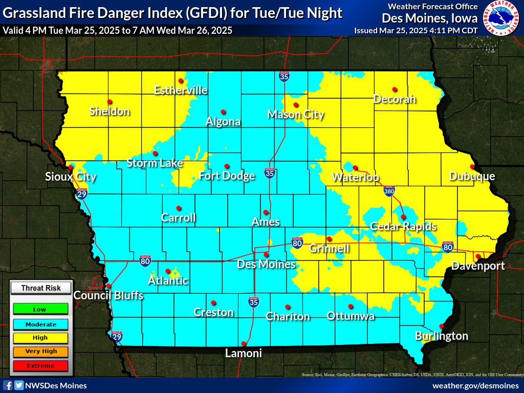
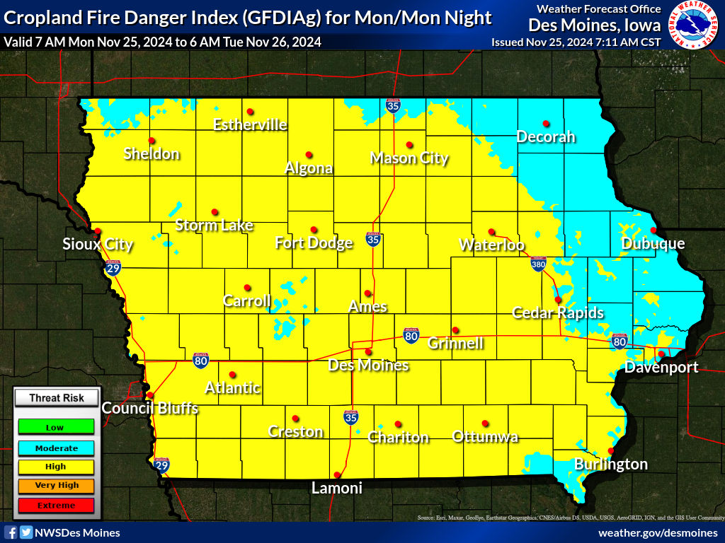
| Grassland Fire Danger Index (GFDI) for Iowa (background on GFDI) |
|
|||||||||
Today's Outlook |
Tomorrow's Outlook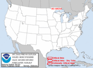 |
Observations
Additional Fire Weather Information
Requesting a Spot Forecast (FOR OFFICIAL USE BY GOVERNMENT AGENCIES ONLY!)
Note: When submitting a SPOT forecast, please request on the day of the burn (not the day prior) and include a proximity weather observation.


 Follow us on YouTube