|
|
An extended stretch of above-normal and record-breaking temperatures, including highs reaching the lower to middle 80s across Central Alabama, culminated with the passage of a strong trough January 1st to 2nd. This system produced both severe storms and snow across parts of the Gulf Coast region all in the course of about 24 to 36 hours. A line of storms moved through Central Alabama, focused on the nighttime hours on January 1st. While wind shear was very strong, relatively warm temperatures aloft stunted the ability of storms to become robust or have any sustained organization. Just to the north, across the Tennessee Valley, damaging winds and a few tornadoes occurred. |
|
|
|
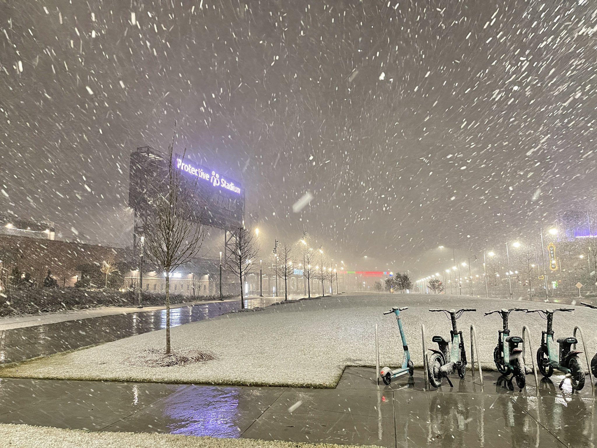
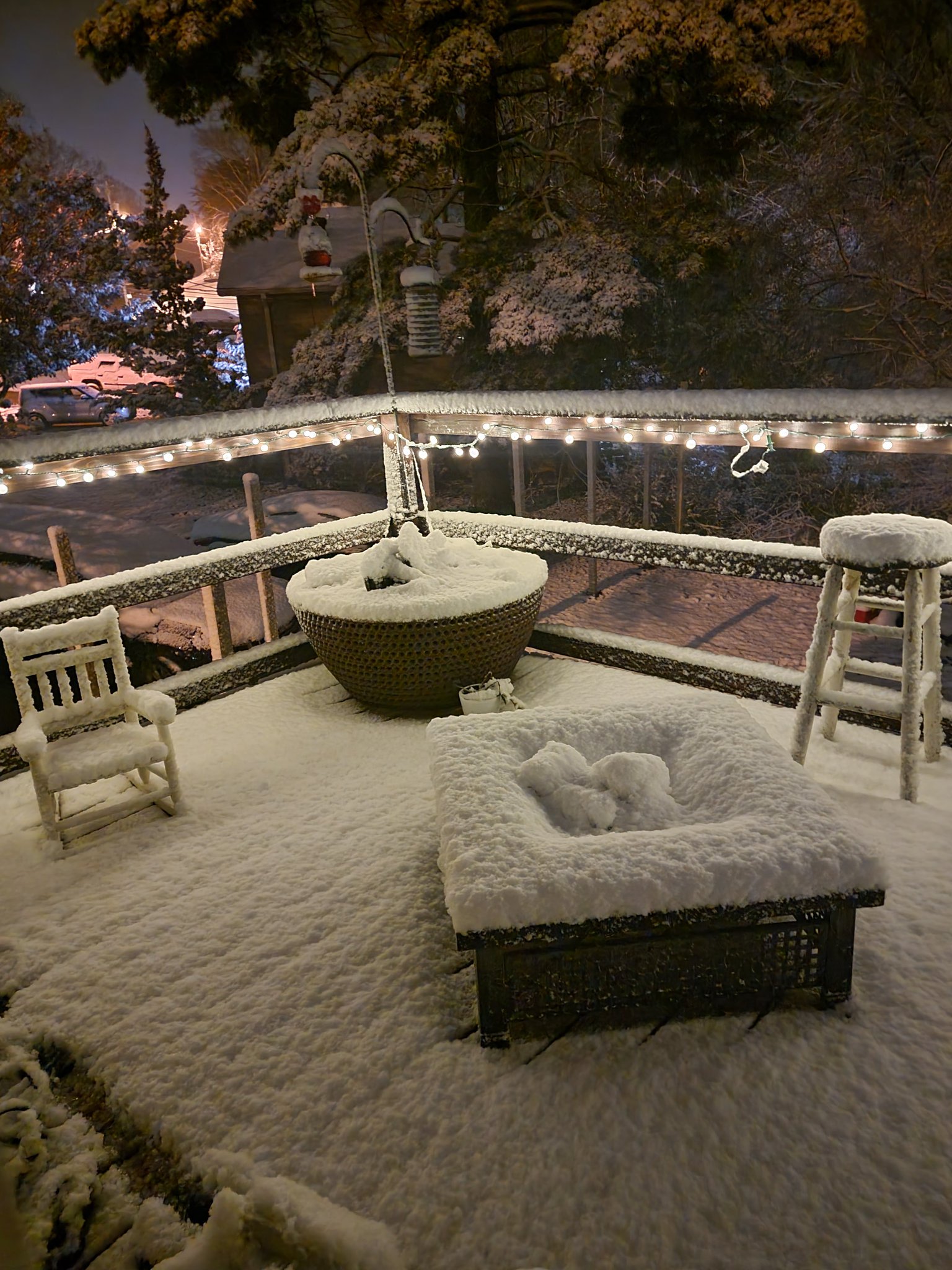
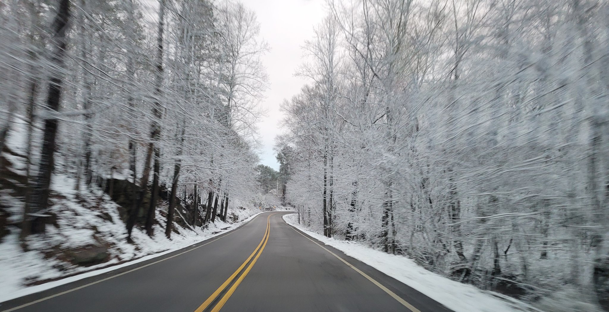
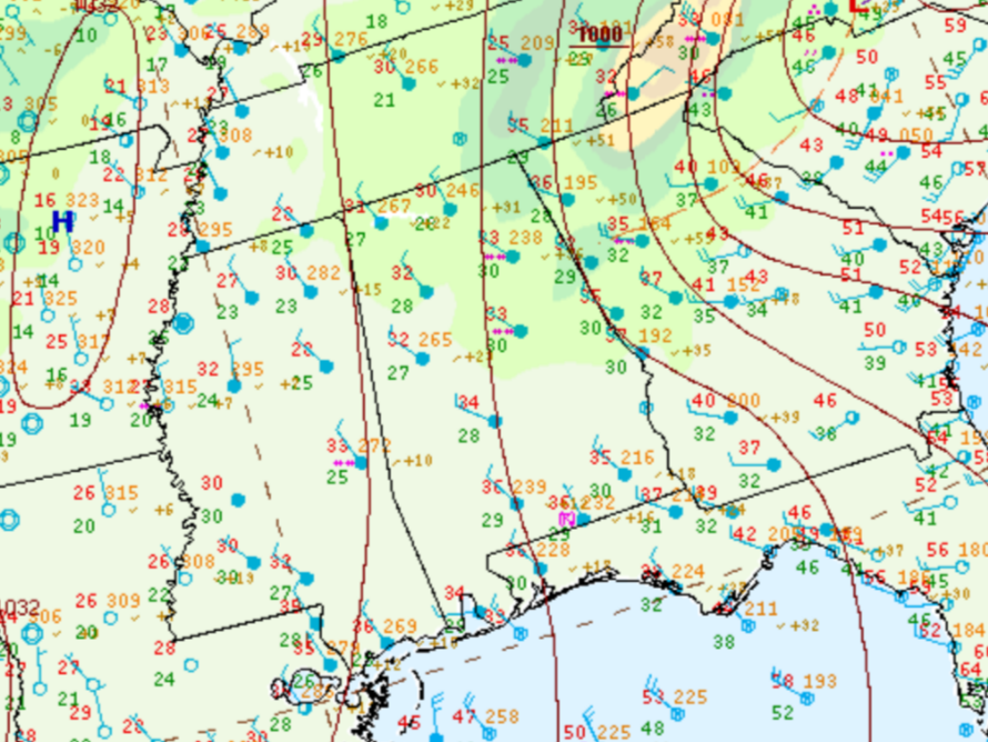
Cold air lurking behind the amplifying trough began to approach the region on January 2nd as the trough acquired a negative tilt. Temperatures in the 50s and 60s during the afternoon crashed into the 30s through the course of the evening. A growing area of rain moved across the region, with a sharp transition to wintry mix and then snow along a banded feature that formed in east Mississippi and then tracked eastward. Heavy snow occurred in north Alabama (NWS Huntsville’s forecast area) with 2-4 inches of snow common and pockets of 5-7 inches. Across Central Alabama, totals were much lower, generally a dusting to one-half inch, primarily on elevated surfaces such as decks, roofs, and vehicles. Banding allowed for some communities to reach totals around 2.5 inches, primarily from a pivoting band that stretched from Blount County southward to far eastern Jefferson County and western St. Clair County. |
|
Due to the warm ground, accumulating snow was dependent on sufficient snowfall rates, and this event was another good example of high snow rates being able to overcome a warm surface. The rapid change from record heat and thunderstorms to freezing temperatures and snow made for quite an experience for Southeast U.S. standards. An occurrence of thundersnow was observed in Tuscaloosa County via a cloud-to-ground lightning strike indicated on the lightning sensor network. Gusty winds also accompanied this system with measured gusts between 40 to 50 mph in areas, which took down some trees. |
| Snowfall Map |
|
|
|
|
|
|
|
|
|
|
|
|
|
|
|
|
|
|
|
|
|
|
|
|
|
|
|
|
|
|
|
|
|
|
|
|
|
|


 Follow us on YouTube