|
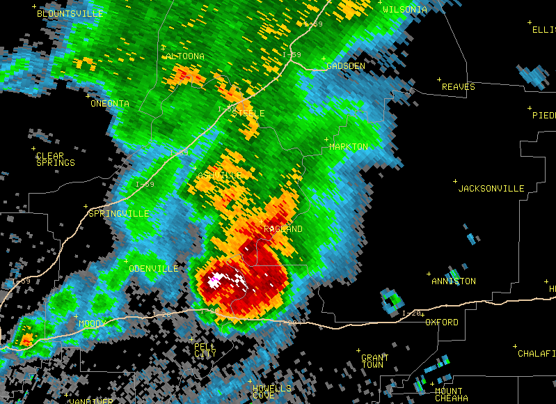
When there is severe weather across central Alabama, it is the meteorologists of the Birmingham National Weather Service (NWS) office in Calera, AL, who are issuing Flash Flood (FFW), Severe Thunderstorm (SVR) and Tornado (TOR) Warnings. In an effort to better help the citizens of central Alabama understand exactly what we are looking for when we are watching the radar, we have created this page. Along with an explanation of how the radar works, we will highlight certain features of recent storms in order to illustrate what we are looking for when making the decision whether or not to issue a warning. No feature stands alone when making the decision to issue a warning; it is a combination of multiple features which helps us make that decision.
|


 Follow us on YouTube