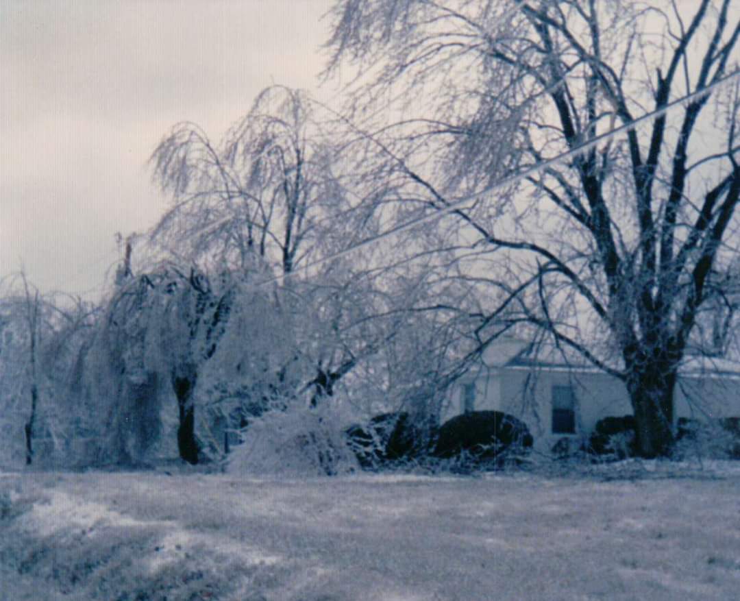
Baileyton, AL
Courtesy of Tara Goggins
|
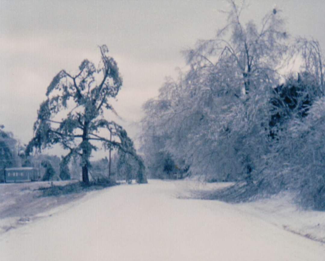
Baileyton, AL
Courtesy of Tara Goggins
|

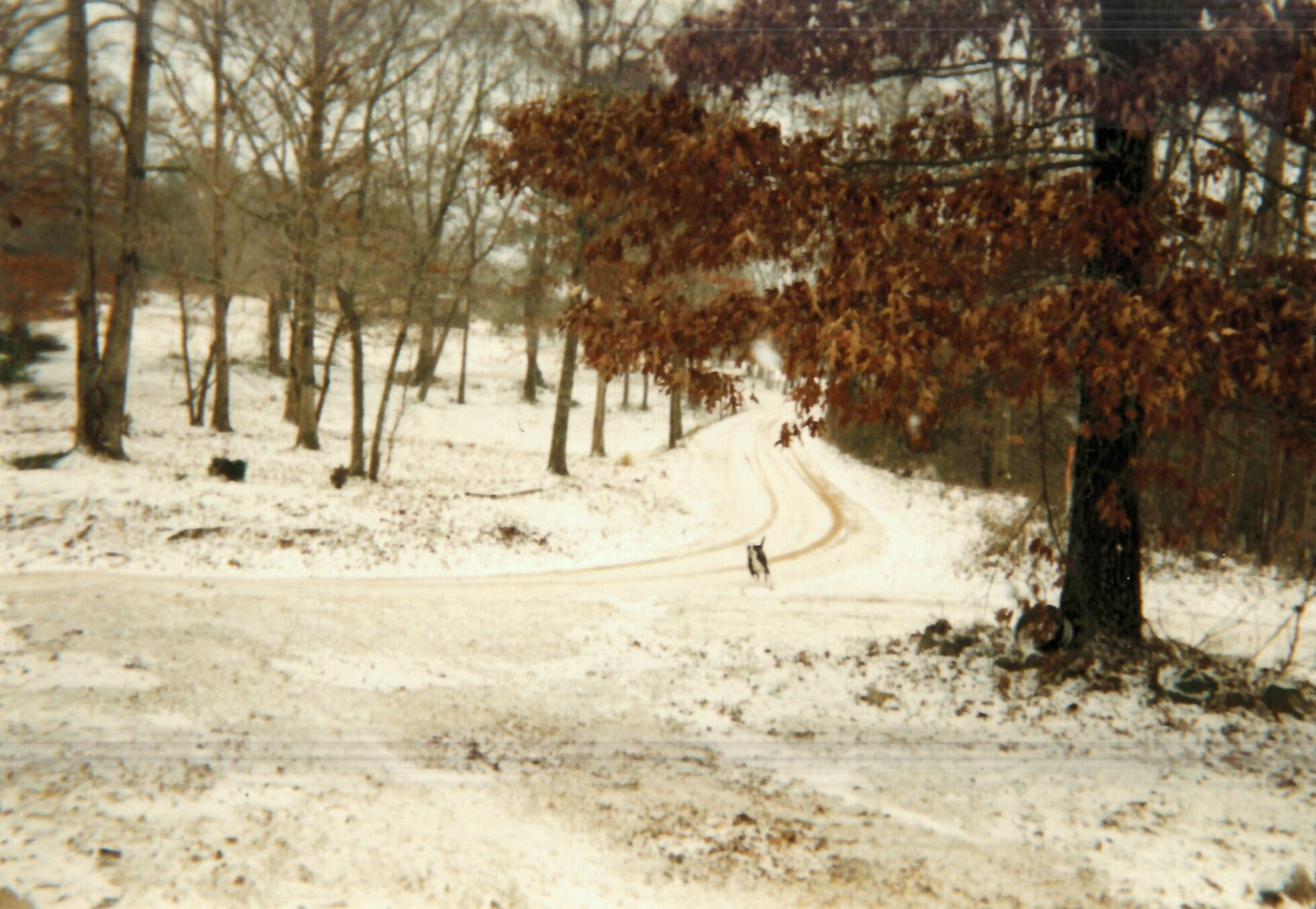
Cottondale, AL
Courtesy of Eric T. Lewis
|

McCalla, AL
Courtesy of Renee Cayton
|
McCalla, AL
Courtesy of Renee Cayton
|
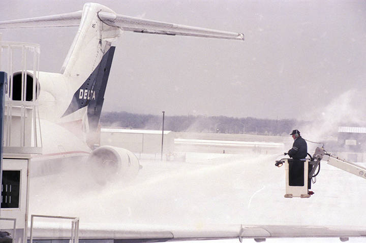
Huntsville, AL
Alabama Department of Archives and History
Donated by Alabama Media Group. Photo by Dave Dieter, Huntsville Times.
|

Huntsville, AL
Alabama Department of Archives and History
Donated by Alabama Media Group.
Photo by Michael A. Mercier, Huntsville Times.
|

Huntsville, AL
Alabama Department of Archives and History
Donated by Alabama Media Group. Photo by Alan Warren, Huntsville Times.
|


 Follow us on YouTube