
A storm system will shift from eastern Texas into the lower Mississippi Valley today with additional threats of severe thunderstorms and heavy to excessive rainfall which may bring flooding. In the northern U.S., a storm will bring heavy snow and gusty winds over parts of the northern Rockies, northern Plains, and Upper Midwest today into Wednesday. Read More >
Last Map Update: Mon, Nov 24, 2025 at 5:02:07 am PST
|
Text Product Selector (Selected product opens in current window)
|
|


 Hanford Radar
 Edwards Radar
 Recent Temperatures
 Satellite
 Weather Map
 Central Valley and Sierra Nevada Smoke Forecast
 Experimental Fog Severity Index
 Social Media
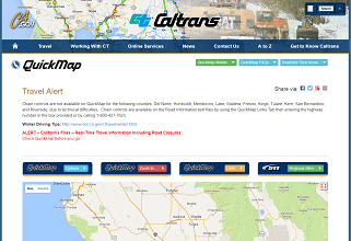 Caltrans QuickMap
 Drought