
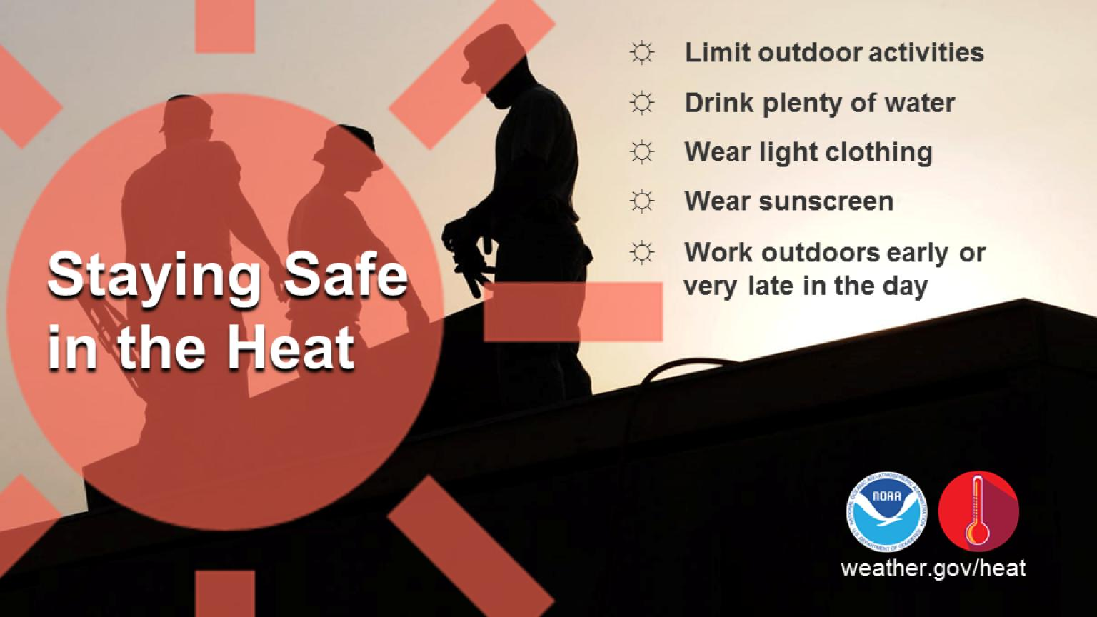
Strong to severe thunderstorms capable of producing large to very large hail, damaging wind gusts and a few strong tornadoes are likely from the Midwest to the Mid-Atlantic tonight. Moderate Risk (level 4 of 5) of severe thunderstorms is outlooked for the Midwest. A widespread heat wave will peak in the South and East on Friday, with many temperature records expected to be broken. Read More >
Last Map Update: Fri, Jun 12, 2026 at 1:52:19 am PDT

|
Text Product Selector (Selected product opens in current window)
|
|


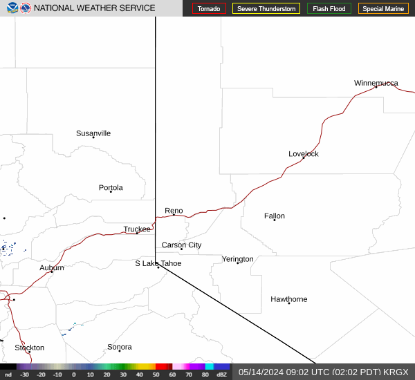 Radar
Radar Satellite
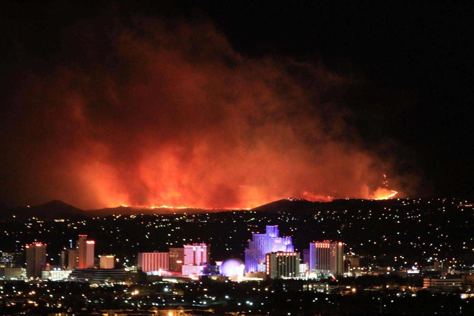 Fire Weather
 Lake Forecasts
 Snow & Avalanche
 Weather Stats
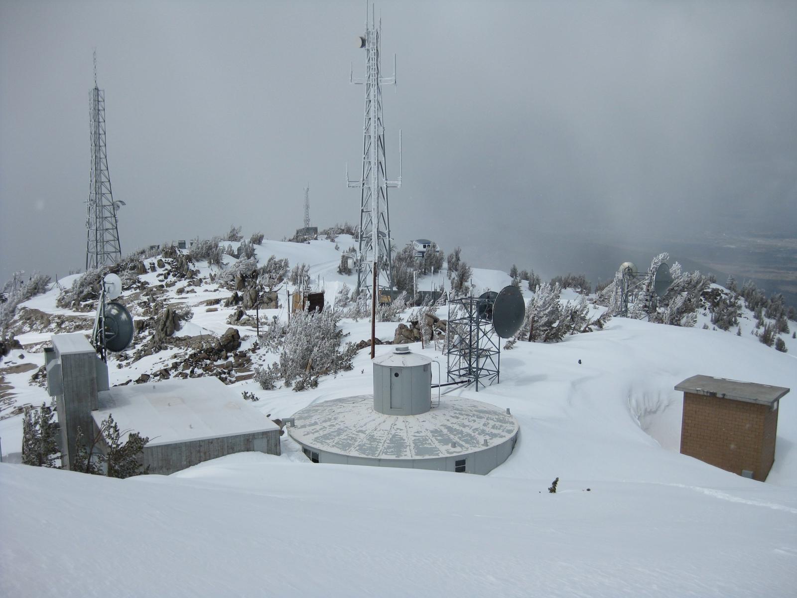 Mountain Observations & Remote Data
 Forecast Discussion
 Graphical Forecasts
 Forecast Weather Table