
A strong storm system will bring numerous to widespread severe thunderstorms across portions of the Midwest and Upper Great Lakes Tuesday. Tornadoes (a few strong), damaging winds and large hail are expected. Record high temperatures will be possible over southern Texas the next several days. This may lead to dangerous heat concerns especially for areas already without power. Read More >
Last Map Update: Tue, May. 21, 2024 at 12:41:44 am PDT

|
Text Product Selector (Selected product opens in current window)
|
|


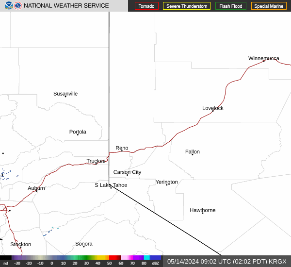 Radar
Radar Satellite
 Fire Weather
 Lake Forecasts
 Snow & Avalanche
 Recent Temp & Precip
 Mountain Observations & Remote Data
 Forecast Discussion
 Text Forecasts
 Graphical Forecasts
 Forecast Weather Tables
 Social Media
 Follow us on YouTube