|
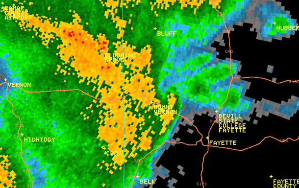
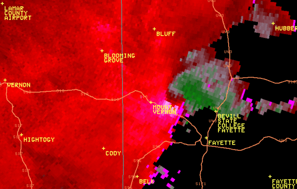
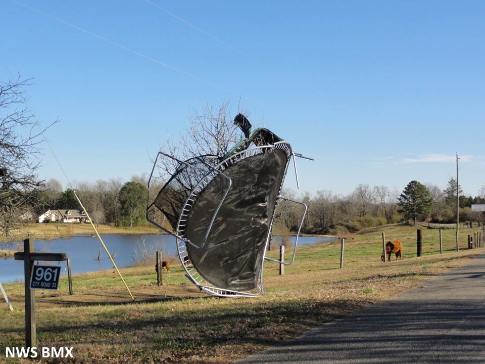
National Weather Service meteorologists have surveyed the damage in west central Fayette County and determined that the damage was the result of an EF-1 tornado. The tornado touched down along County Road 37 near the community of Mt. Vernon, northwest of Fayette. The tornado snapped and uprooted trees as it tracked to the east-northeast and crossed County Road 23 and Alabama Highway 18. The tornado briefly strengthened to 90 mph and turned to the northeast where it crossed Alabama Highway 107. Here, the tornado caused minor roof damage to a residence. The tornado continued moving east-northeast, crossed Luxapallila Creek and caused significant tree damage along County Road 21, County Road 85 and County Road 80. The tornado continued to down trees as it crossed US Highway 43 and lifted just west of Alabama Highway 129. Along this path, hundreds of trees were knocked down with minor structural damage to several buildings.
|