|
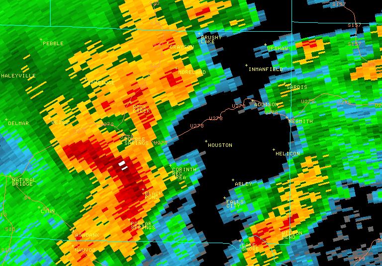
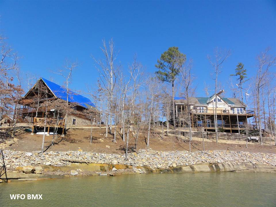
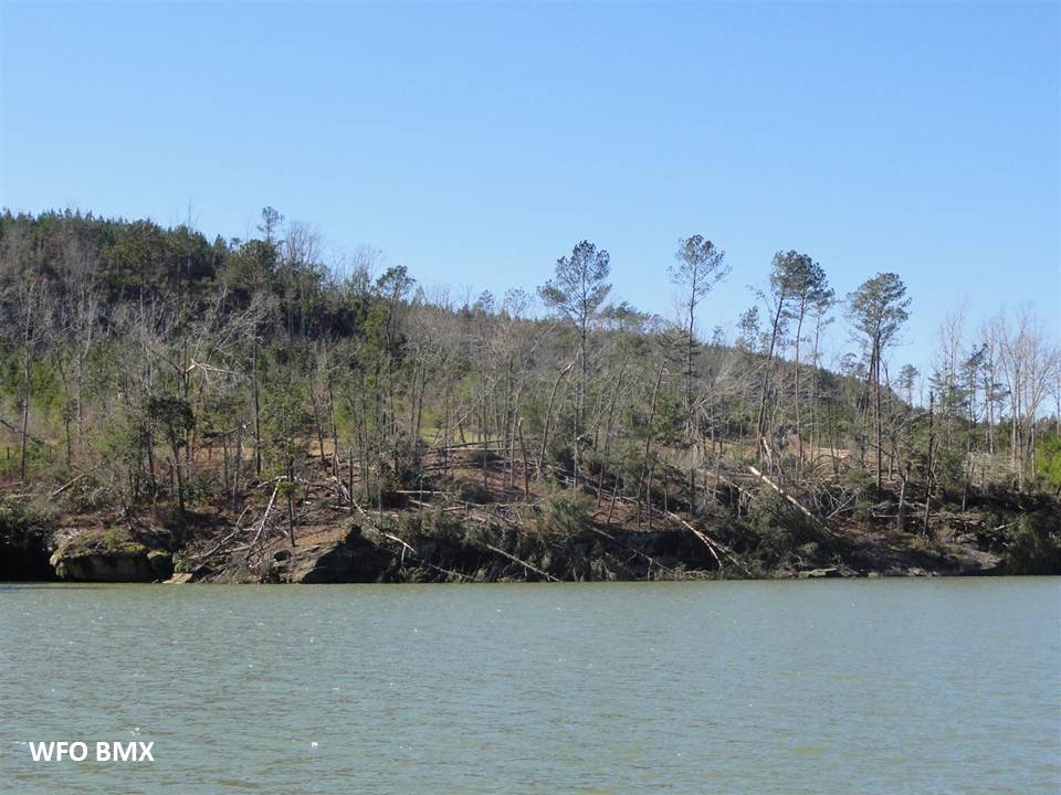
The tornado touched down just west of the intersection of County Road (CR) 8 and CR 3074 where a portion of a mobile home roof was thrown one quarter of a mile and several trees were uprooted and snapped. At this point, the path was near 100 yards wide. The tornado continued to track east-northeast along Slick Ford Road where hundreds of softwood trees were uprooted and snapped. The tornado continued east-northeast and crossed Smith Lake near Cove Road South where at least six homes sustained roof damage. One of the homes sustained severe roof damage. The tornado widened to near 1000 yards as it crossed the lake near CR 61. As the tornado moved along the lake, thousands of trees were downed causing damage to at least a dozen more residences. Several boat houses were also destroyed. The tornado began to weaken and become more narrow as it approached CR 63, and finally dissipated near the intersection of CR 41 and CR 52.
Many thanks to the Winston County Emergency Management Agency for their assistance in conducting the survey in Winston County.
|