|
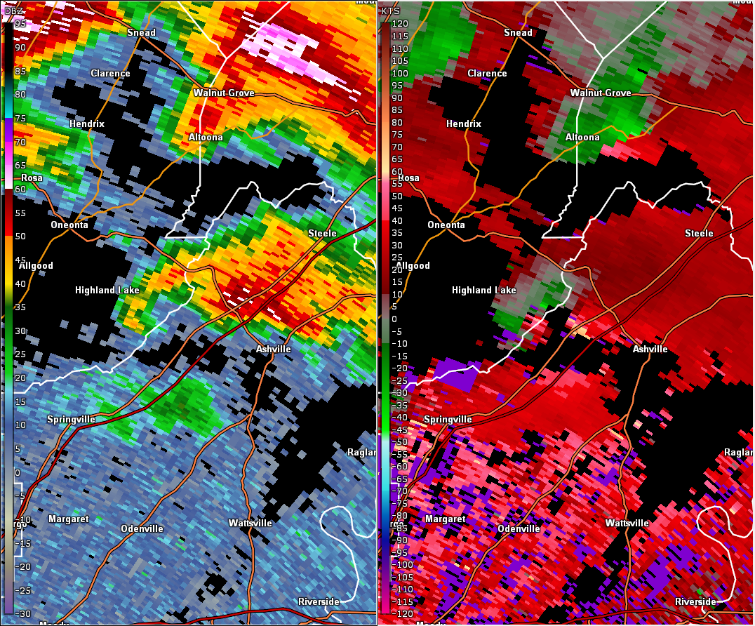
Blount Mountain EF-1 Tornado (Blount/St. Clair Counties)
|
|||||||||||||||||
| Radar Data & Damage Pictures |
 |
||
|
This is an image of the 0.5 degree reflectivity (left) and velocity (right) data from KBMX at 750 pm as the tornado touched down. |
|
|
|
|
||
 |
 |
|
|
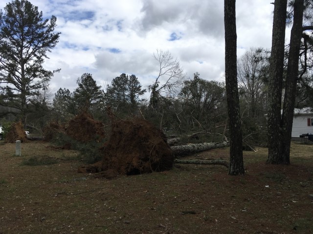
Tree Damage |
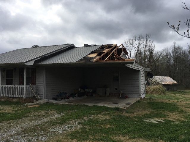
Roof Damage |
|

