|
Event Summary
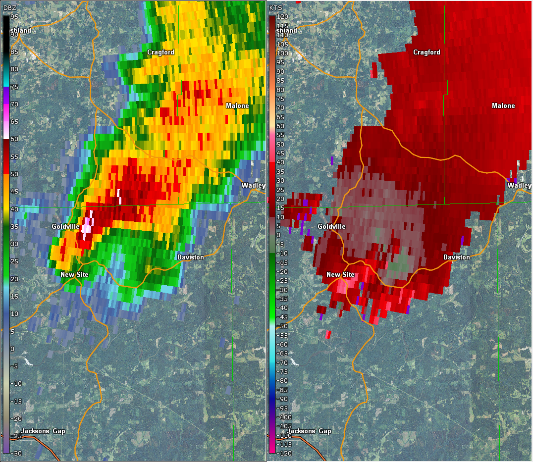
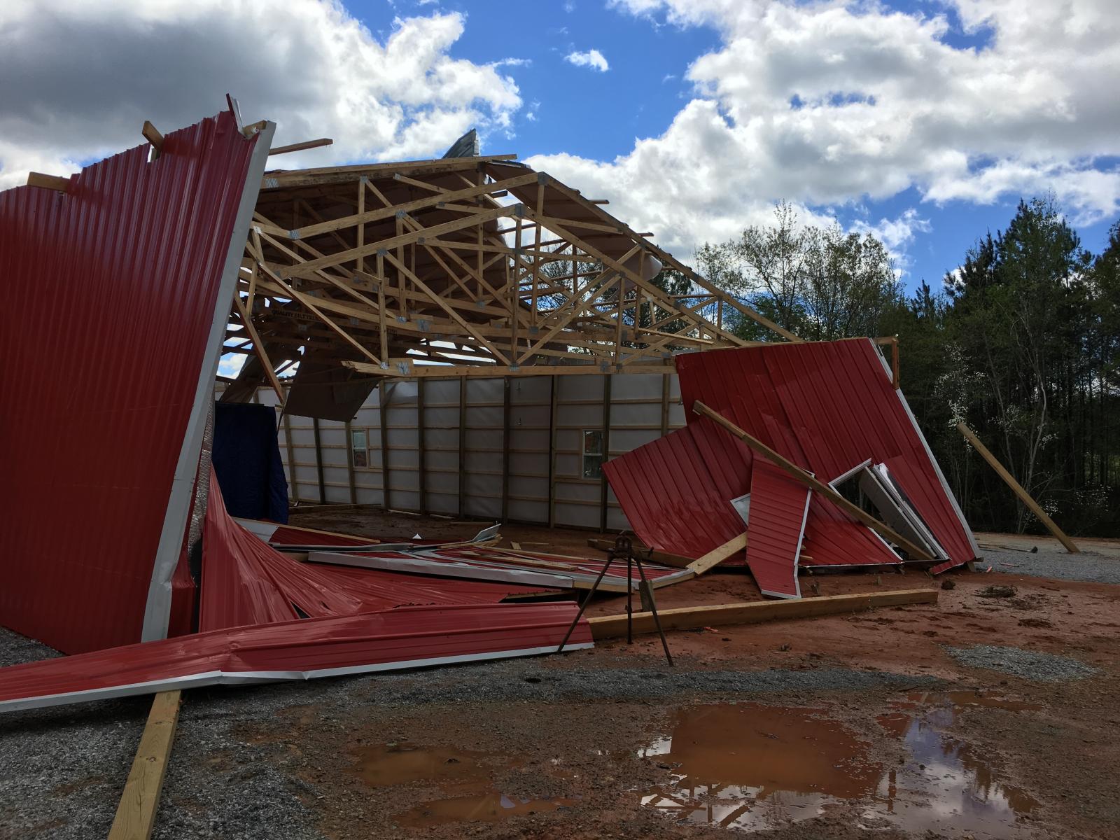
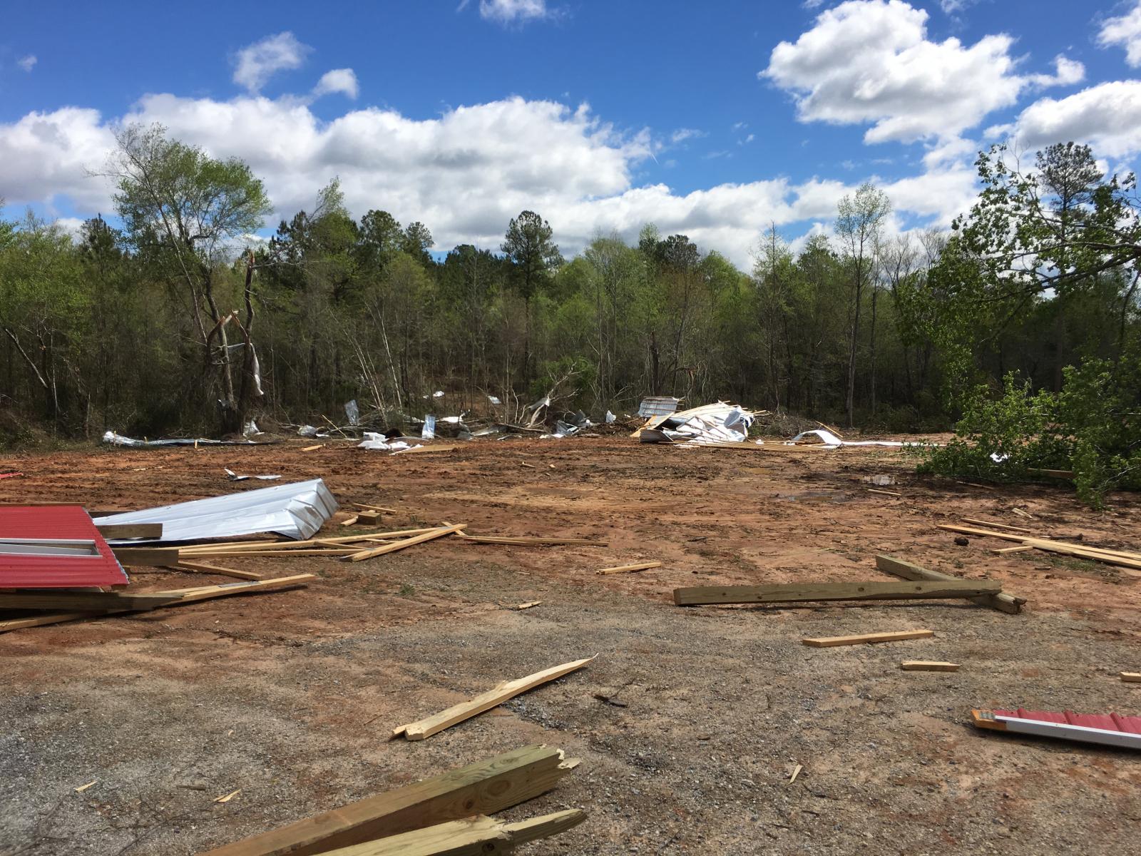
Several wind damage points were surveyed by the National Weather Service and the cause of the damage is likely from straight line winds. At the first location on Hwy 49, a large, well-built barn sustained damage with one wall destroyed along with significant roof damage. There were also several large softwood trees uprooted. At a second location, numerous softwood trees along Hwy 22 were uprooted. While this damage was in an inconsistent path, the uprooted trees lay in a divergent pattern indicating that the damage was consistent with straight line winds. Upon further investigation, the radar data showed the damage occurred within proximity of the rear flank downdraft of a supercell. It was aso noted that there was an absence of a tornadic debris signature in the correlation coefficient.
|