|
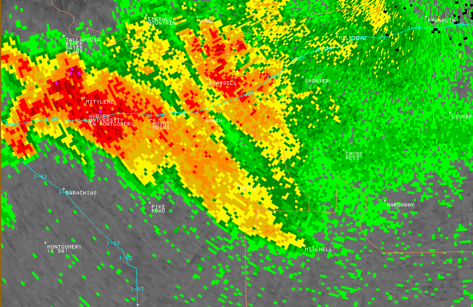
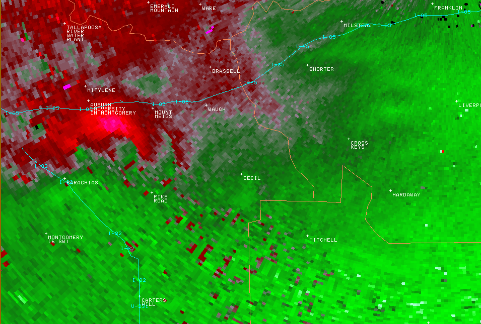
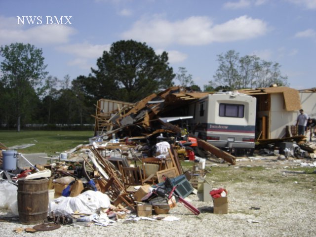
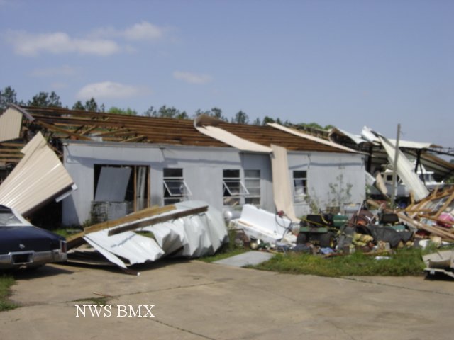
A National Weather Service Damage Assessment Team has surveyed the storm damage in Montgomery, Macon and Bullock Counties. It has been determined the damage was the result of a tornado. The tornado has been rated an EF-1 on the Enhanced Fujita Scale. Damage estimates were consistent with winds between 100 & 110 mph.
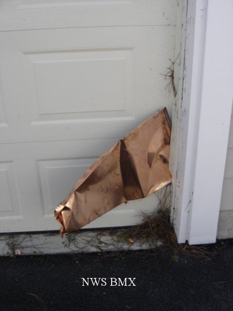
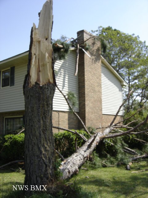
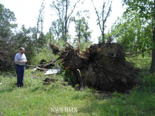
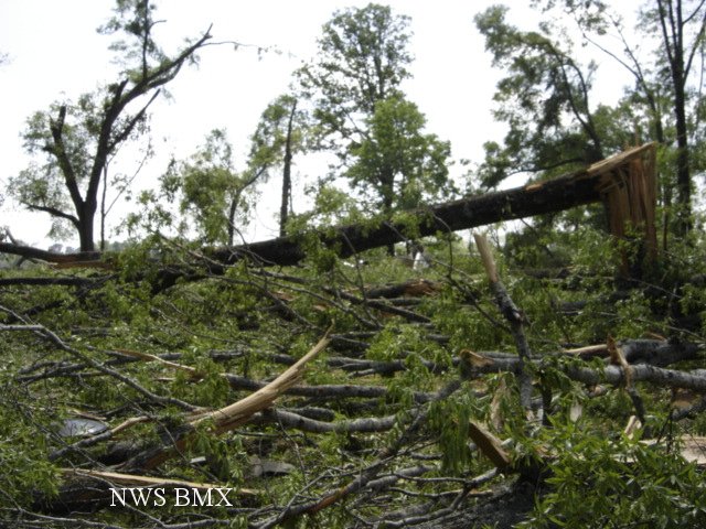
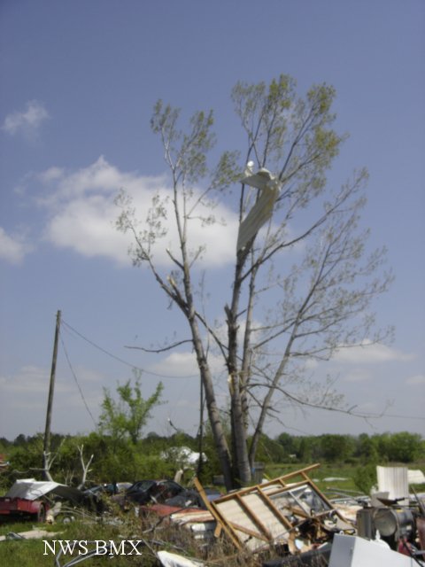
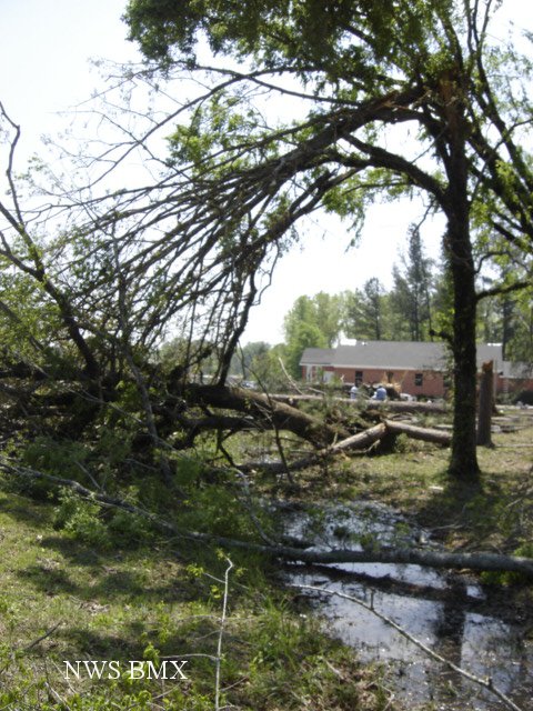
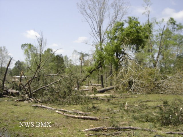
The EF-1 tornado touched down near the intersection of US Highway 80 (Eastern Blvd.) and State Highway 110 (Vaughan Road). The storm moved east southeast through the eastern part of the Montgomery metro area. The tornado continued on its path and crossed State Highway 271 (Taylor Road), County Road 85, and then impacted the Cecil Community. The tornado remained on the ground into Macon County and very briefly entered Bullock County. The tornado lifted just east of County Road 23 near the Downs Community. At least 3 barns and several outbuildings were damaged or destroyed along the path. Dozens of homes suffered minor to moderate roof damage and numerous windows were broken. Thousands of trees were either snapped off or were uprooted along the path. Several homes and vehicles were damaged from flying or falling debris. The Verandas Apartment Complex on Vaughan Road sustained damage. The most concentrated damage occurred along Ray Thorington Road where extensive tree damage was apparent, a school was damaged and a few homes were damaged. The tornado damage path was 26.06 miles long and was 440 yards wide at its widest point.
|