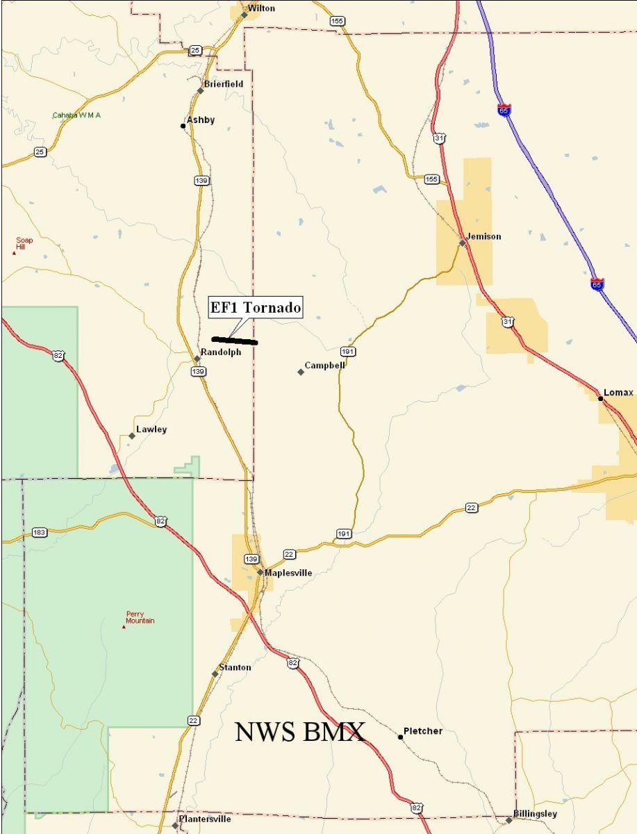
Bibb-Chilton County Tornado - April 11, 2007
EF-1
National Weather Service meteorologists surveyed storm damage in southeastern Bibb and southwestern Chilton Counties. It has been determined that the damage was the result of a tornado. The tornado has been rated an EF-1 on the Enhanced Fujita Scale with estimated maximum winds between 90 and 95 mph.
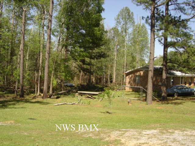
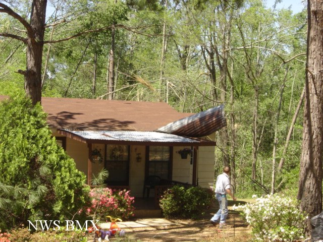
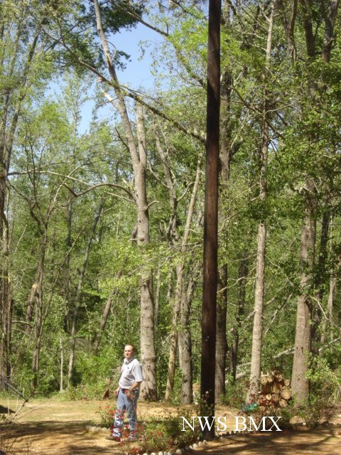
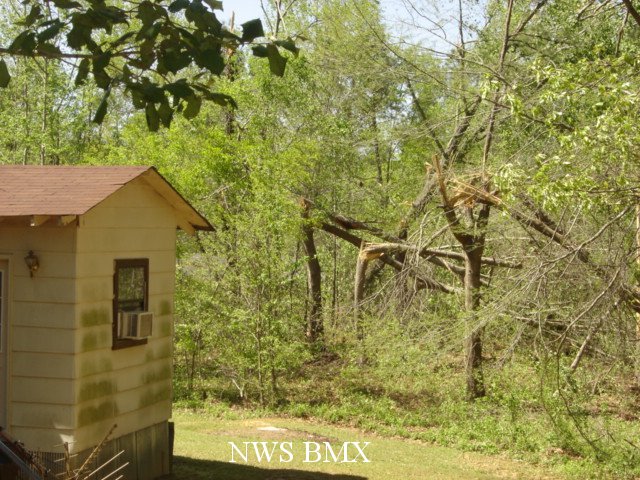
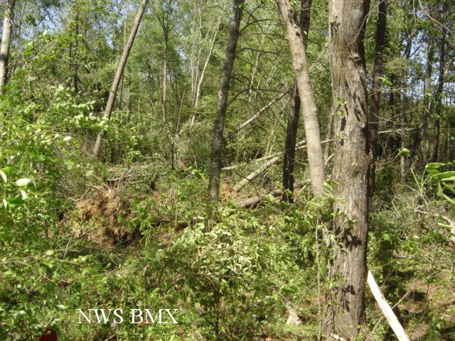
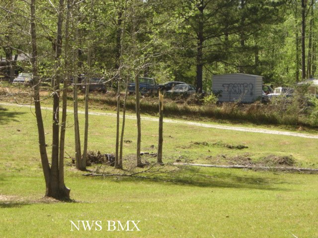
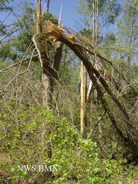
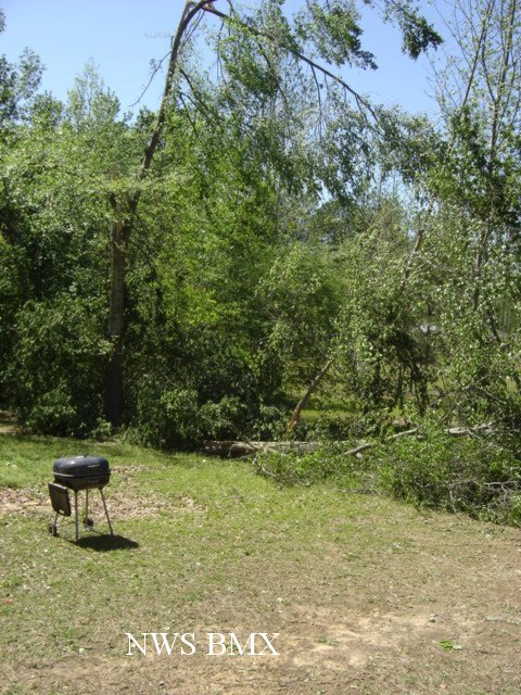
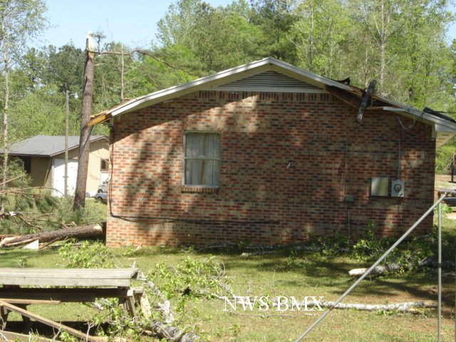
A tornado touched near the intersection of County Road 36 and New Hope Village...just east of Randolph in far southeastern Bibb County. The tornado tracked east southeast and lifted just across the Chilton County line along County Road 73. The tornado damage path was 1.5 miles long and was 200 yards wide at its widest point. Several trees were either blown down or snapped off along the short path. One home was damaged by a fallen tree and one home suffered minor shingle damage. The highest winds were estimated between 90 and 95 mph...an EF1 tornado. The tornado was on the ground from approximately 347 PM until 349 PM. A Tornado Watch was in effect for Bibb and Chilton Counties from 140 PM until 800 PM. A Tornado Warning was in effect for Bibb County from 249 PM until 400 PM. A Tornado Warning was in effect for Chilton County from 327 PM until 430 PM.
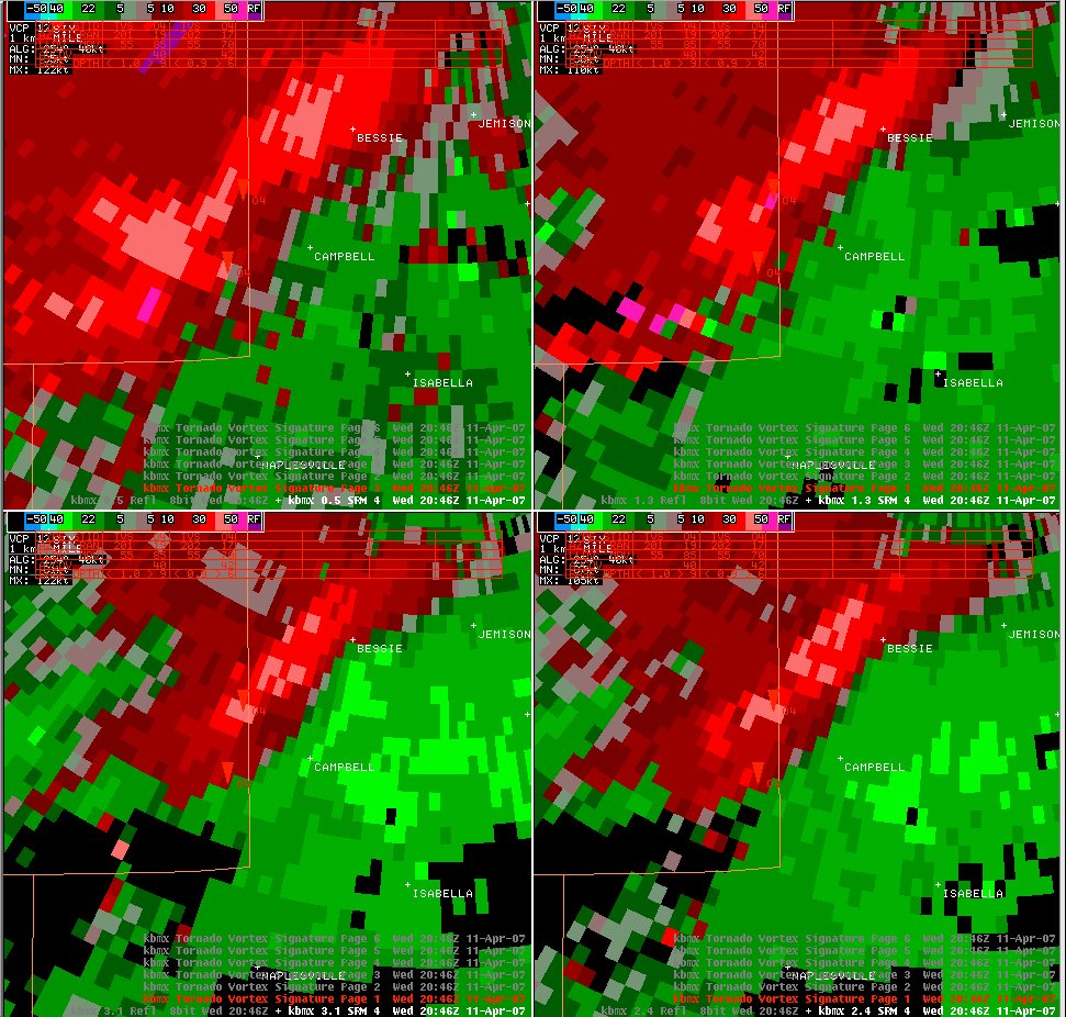
Click on the images below for larger picture.
|
|
||||||||||||||||||||||||||