|
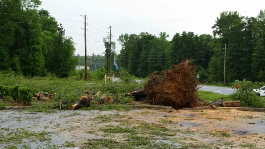
National Weather Service meteorologists surveyed damage in eastern Russell County and confirmed a tornado. The tornado touched down south of County Road 18 just west of Highway 165. The tornado tracked northeast and crossed Highway 165 causing structural damage to several businesses in the drop zone market, removing the roof off a metal building, and tossing several rooftop air conditioning units. A large hardwood tree was uprooted in this same location. As it continued northeast, it crossed two subdivisions causing mainly roof and siding damage to numerous houses in the subdivisions. The tornado moved into the Alabama portion of Fort Benning, mainly over forested areas of the installation before reaching the Chattahoochee River.
|