|
Event Summary
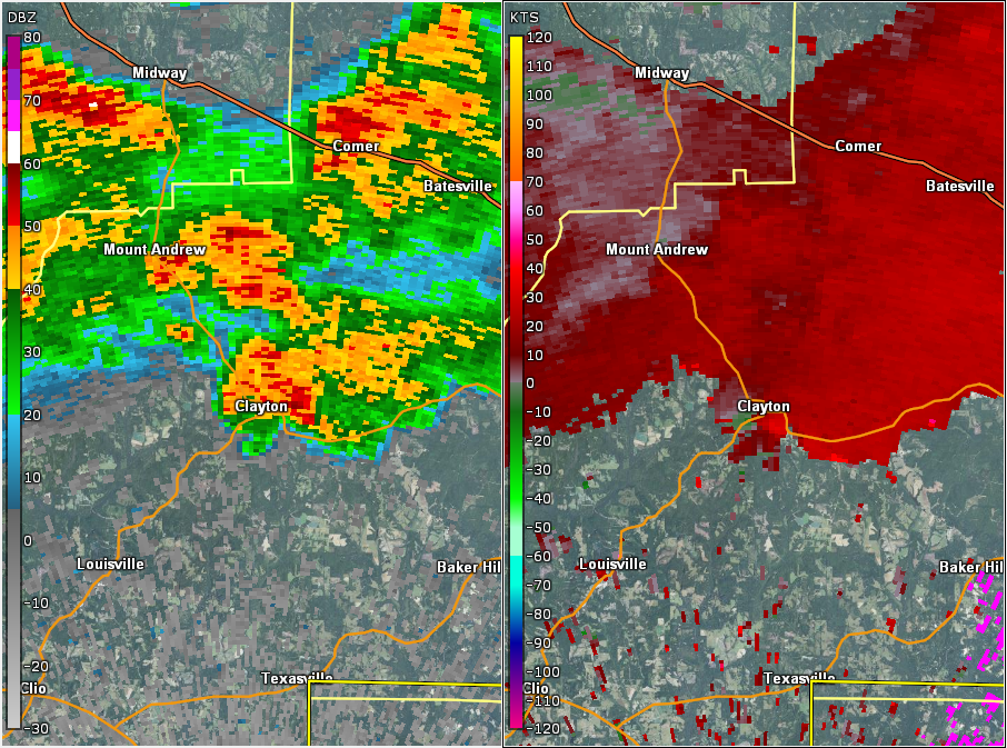
NWS Meteorologists surveyed damage in central Barbour County and determined it was the result of a tornado.
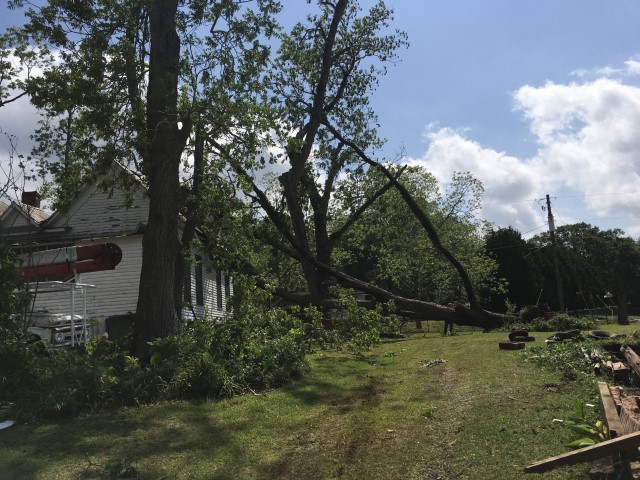
The tornado touched down in the Clayton City limits along Highway 30, just east of Mill Drum Place. The tornado moved northeast and knocked a few trees down on Clayton Street and Midway Street. One of these large trees landed on a mobile home. One adult and two children were injured at this location on Midway Street. The tornado continued northeast and went through the eastern part of Clayton. Several trees were uprooted and several structures suffered minor damage or trees landed on them. The tornado lifted at Oak Avenue just before Browder Street. The tornado damage path was 1.28 miles long and was 175 yards wide at its widest point.
|