NWS Birmingham, Alabama
Weather Forecast Office
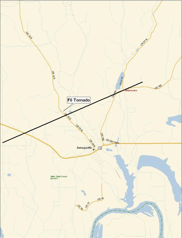
Autaugaville F0 Tornado
National Weather Service meteorologists surveyed the damage that affected the Whitewater Community and areas near Autaugaville. It has been determined that the damage was the result of a tornado. The tornado has been rated an F0 on the Fujita Damage Intensity Scale.
The tornado first touched down approximately 3.2 miles west of Autaugaville near the intersection of County Road 45 and County Road 78. The tornado tracked in a northeastward direction and crossed State Highway 14, County Road 19, and County Road 165. The tornado lifted just east of the Whitewater Community, north of County Road 165. The tornado damage path was approximately 5.4 miles long and 150 yards wide at its widest point. The tornado was on the ground from approximately 641 PM CST to 651 PM CST.
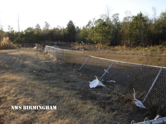
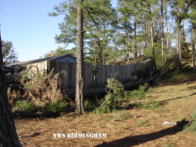
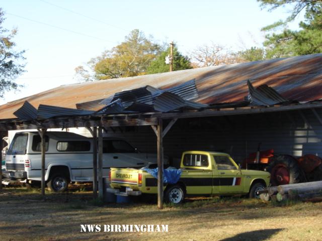
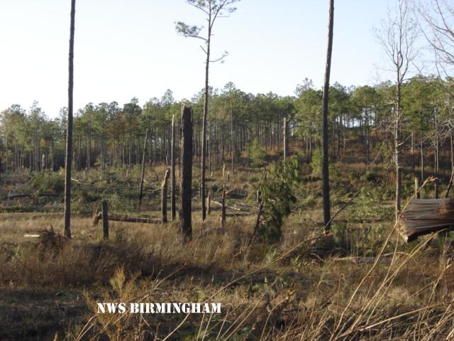
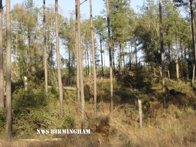
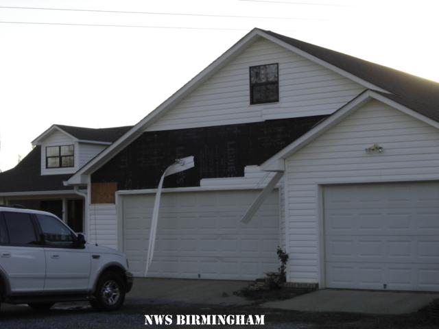
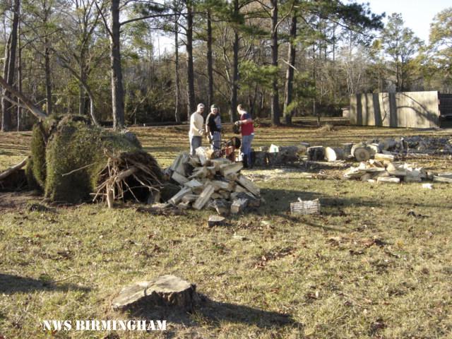
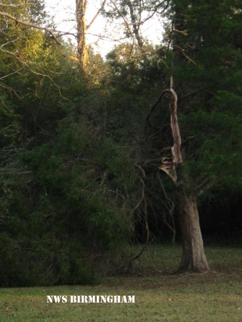
Along the damage path, numerous large trees were snapped off and uprooted. A garage attached to a mobile home was blown away. At another location, vinyl siding was blown off a house and a fence was blown down. One shed was totally destroyed. Some tin was peeled off a steel building.
Watches/Warnings:
Tornado Watch number 884 was in effect from 955 AM until 600 PM CST.
A Tornado Warning was in effect from 637 PM until 710 PM CST.
Current Hazards
National Outlooks
Tropical
Local Storm Reports
Public Information Statement
Graphical Hazardous Weather Outlook
Current Conditions
Regional Weather Roundup
Rivers and Lakes
Drought Monitor
Forecasts
Aviation Weather
Graphical Forecasts
Forecast Discussion
Air Quality
Fire Weather
Climate and Past Weather
Past Events
Storm Data
Tornado Database
Daily Rainfall Plots
Tropical Cyclone Reports
Warnings and Other Products
Tornado Warnings
Severe Thunderstorm Warnings
Flash Flood Warnings
Winter Weather Warnings
Special Weather Statements
Non-Precipitation Warnings
Flood/River Flood Warnings
Productos en Español
Conciencia y Preparación
Previsión de 7 Días
Weather Safety
NOAA Weather Radio
Severe Weather Preparedness
Severe Safety Rules
Tornado Safety Rules
Severe Safety w/ ASL
Awareness Weeks
Severe Weather
Hurricane Preparedness
Summer Safety Campaign
Winter Weather
US Dept of Commerce
National Oceanic and Atmospheric Administration
National Weather Service
NWS Birmingham, Alabama
465 Weathervane Road
Calera, AL 35040
205-664-3010
Comments? Questions? Please Contact Us.