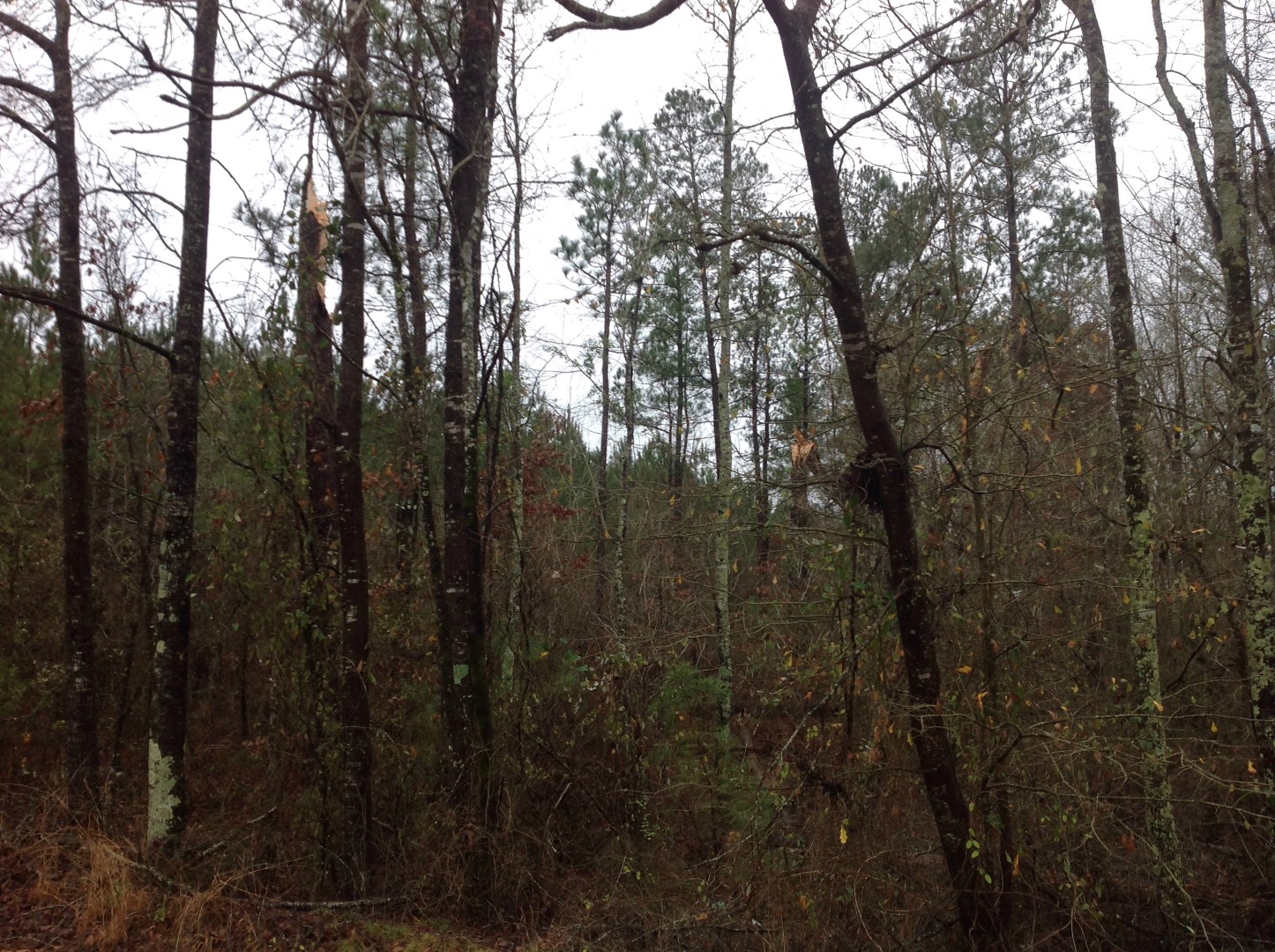
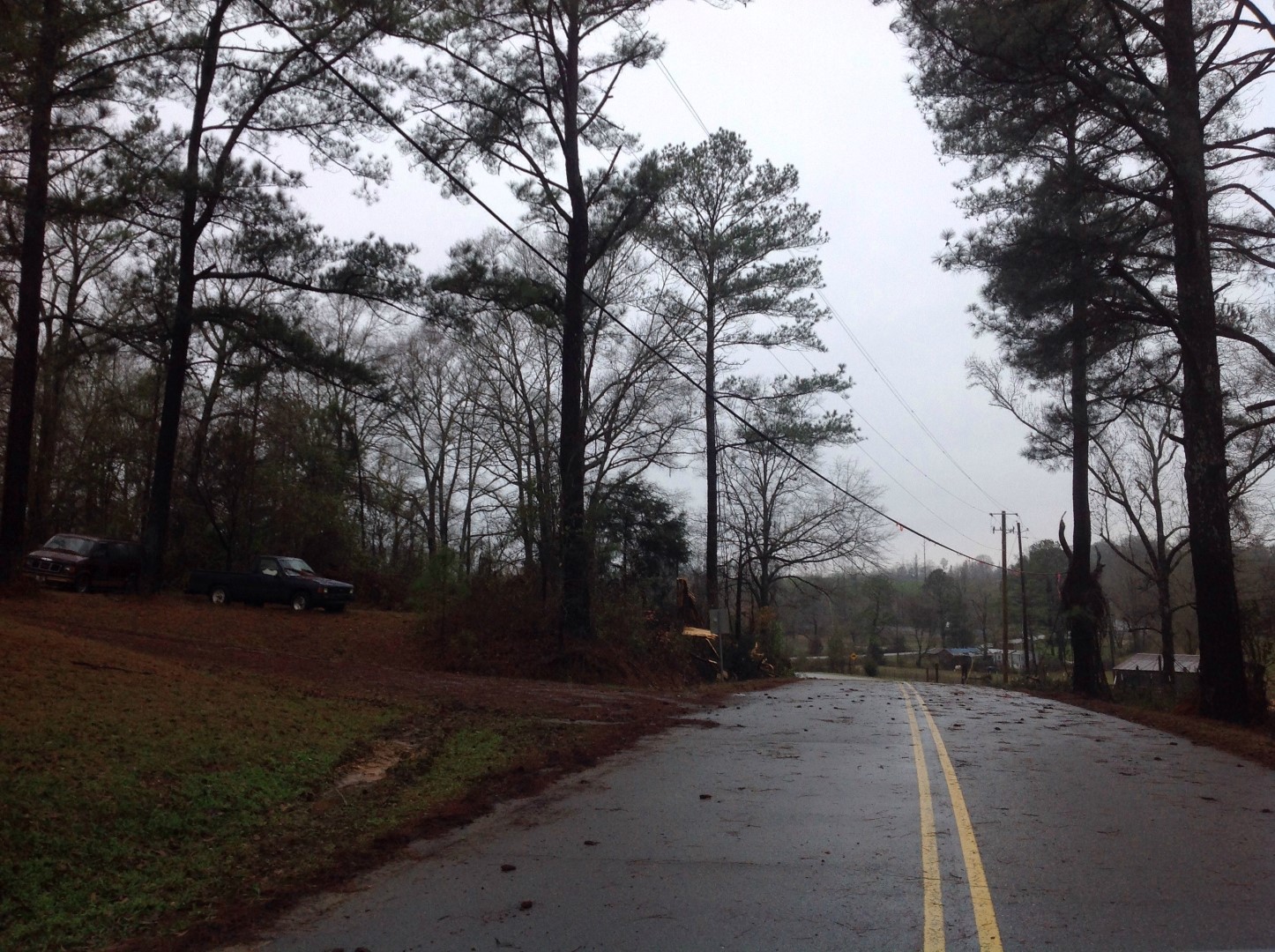
The tornado touched down along Clements Rd near Leeman Ln and continued northeast crossing Hagler Coaling Rd, Wire Rd and Dudley Rd. The damage path was at its widest along Wire Rd and Dudley Rd. No damage was observed along Hwy 11 farther to the northeast. The tornado is estimated to have lifted just northeast of Dudley Rd, south of Upper Dudley Rd. Only minor tree damage was observed along the path with approximately a dozen trees snapped or uprooted as viewed from the highways. Additional tree damage may have occurred within the forested areas.
This is an image of the 0.5 degree reflectivity (left) and velocity (right) data from KBMX at 335 pm. The tornado had just touched down at 329pm.
Click to enlarge.