A storm and trailing cold front will continue to slowly move through the Gulf Coast and Southeast U.S. through this weekend with widespread rain showers and isolated thunderstorms. A fast-moving clipper storm may bring several inches of snow to the north-central Plains, Midwest, eastern Great Lakes, and Northeast regions this weekend. Read More >
Lower Mississippi RFC
River Forecast Center
These experimental plots were created as a way to display long range (28-day) forecasts which became part of daily operations at LMRFC in November of 2016. The official forecast (2 days of QPF) is displayed along with an experimental, raw model NAEFS-based forecast (16 days of QPF).
This table displays the radar reflectivity to rain rate relationships being used by each of the NEXRAD radar sites in the LMRFC area. Local weather forecast offices will change this relationship seasonally and by rainfall event to help improve radar estimates of rainfall.
Plots displaying diagnostics for the MRMS radar-only rainfall estimate product. The plots were developed as a tool for monitoring biases in radar-only products.


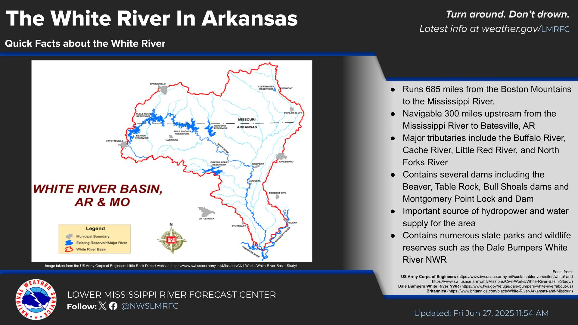
 Water Story