
In the Pacific Northwest into northern California, areas of heavy rain for the coastal ranges and heavy snowfall over the higher elevations of the Cascades are expected into Friday. Dry and windy conditions may produce elevated fire weather conditions in the central and southern High Plains and the Upper Midwest. Windy conditions and scattered rain and snow showers will continue in the Northeast. Read More >
Milwaukee/Sullivan, WI
Weather Forecast Office
Risk of Severe Thunderstorms This Evening
Very warm, unstable air interacting with a cold front sliding south through Wisconsin caused severe thunderstorms in portions of east central and southeast Wisconsin this afternoon and early evening. There is still a threat for large hail and damaging winds in southeast Wisconsin through the evening.
A severe thunderstorm watch is in effect until 10 pm.
If you're planning any outdoor activities this afternoon and evening, stay abreast of the latest forecast, and heed any watches, warnings and statements. All boaters should be prepared to quickly seek safe harbor.
If you observe severe weather, send us your report! Key elements: Time - Location - Type of severe weather/damage, etc.
Key to Severe Weather Risk Categories:

Current Headlines across the Region:

National Day 1 Convective Outlook:

National Day 2 Convective Outlook:

Regional Radar Views:
 |
 |
Local Radar:

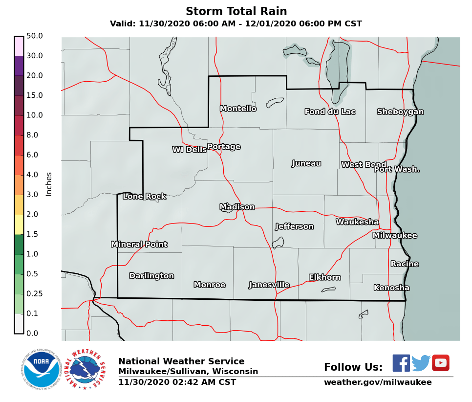
Expected Rainfall Amounts:
 |
 |
Links of interest:
Local Storm Report Graphic
Local Storm Report Text
SPC Local Storm Reports
Submit a Storm Report
Hazardous Weather Outlook
Forecast Discussion
Severe Thunderstorm Warnings
Tornado Warnings
Flash Flood Warnings
Severe Weather Statements
SPC Meso-Analysis Page
Our Severe Weather Page
National Weather Service - Milwaukee/Sullivan
MBK/MRC
Hazards
National Briefing
Hazardous Weather Outlook
Skywarn
View Local Storm Reports
Submit A Storm Report
Winter Weather
Summer Weather
Beach Hazards
Local Forecasts
Marine
Aviation
Fire
Local Text Products
Local Precip Forecast
Hourly Forecast Graphics
Forecast Discussion
Climate
Normals/Records MKE/MSN
CoCoRaHS
Historic Events For Srn WI
Lightning Plot Archive
Daily Climate Graphics
Local Climate Products
US Dept of Commerce
National Oceanic and Atmospheric Administration
National Weather Service
Milwaukee/Sullivan, WI
N3533 Hardscrabble Road
Dousman, WI 53118
262-965-2074
Comments? Questions? Please Contact Us.

