Milwaukee/Sullivan, WI
Weather Forecast Office
|
|
||
 |
||
|
|
|
|
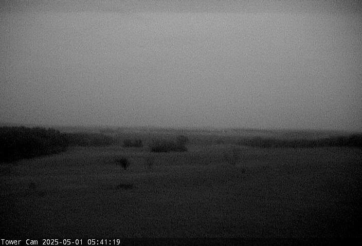
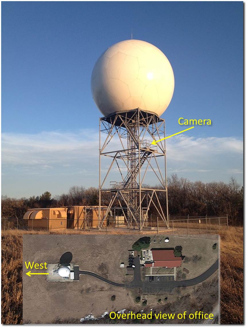
This camera is mounted just over 30 feet off the ground, on the west side of our radar tower (see image linked below). The looped images cover about 1 hour of time. The standard view will default to a roughly west facing perspective. There are times we may point the camera in a different direction to view interesting weather approaching. Alternative views would likely run from south, to west, to north. Any views in the eastern horizon are blocked by the tower itself, limiting their usefulness. There may also be times that the looping images will jump around due to our scanning of the horizon while the images are being taken for the web display. At night, the images will be black. There is some night vision ability in low light situations, but it is limited.
Hazards
National Briefing
Hazardous Weather Outlook
Skywarn
View Local Storm Reports
Submit A Storm Report
Winter Weather
Summer Weather
Beach Hazards
Local Forecasts
Marine
Aviation
Fire
Local Text Products
Local Precip Forecast
Hourly Forecast Graphics
Forecast Discussion
Climate
Local Climate Products
Normals/Records MKE/MSN
CoCoRaHS
Historic Events For Srn WI
Lightning Plot Archive
Daily Climate Graphics
US Dept of Commerce
National Oceanic and Atmospheric Administration
National Weather Service
Milwaukee/Sullivan, WI
N3533 Hardscrabble Road
Dousman, WI 53118
262-965-2074
Comments? Questions? Please Contact Us.

