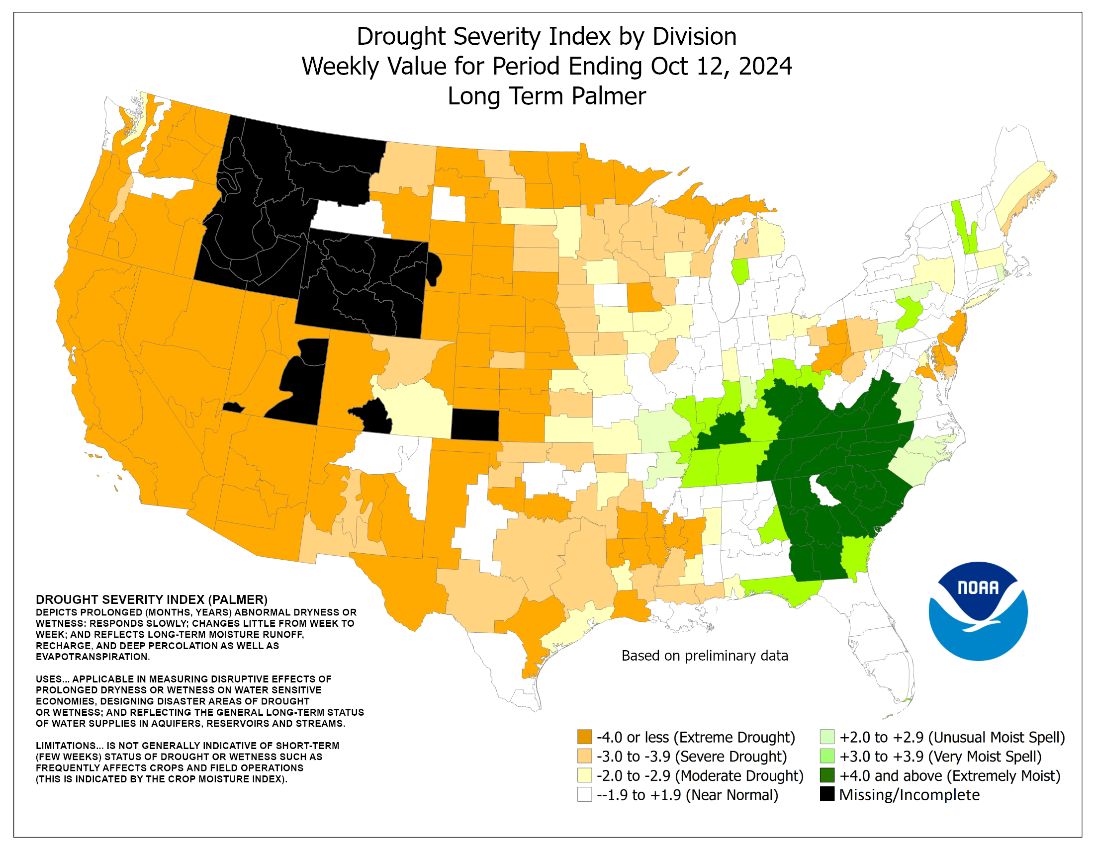
Tropical moisture from Isaias and Rachel will impact portions of the Southeast and Southwest this weekend. Flash flooding, strong winds and even a threat for severe thunderstorms and tornadoes are possible. Meanwhile, strong winds and dry fuels are raising fire weather concerns across the central Great Basin and western High Plains. Across the northern Rockies, first winter storm of the season. Read More >
|
2025 Wisconsin Fire Weather Annual Operating Plan Local Spot Forecasts
Fire Weather Planning Forecast
Spot Fire Weather Forecasts
Point Forecasts
Fire Weather Watches/Red Flag Warnings
NWS National Fire Weather Page Observations
Wisconsin DNR Burning Restrictions and Fire Activity Maps
Satellite Fire Detection
GOES-16 Imagery Use Channel 7: IR "Shortwave Window" (3.9 micron)
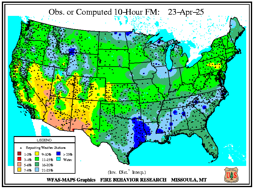
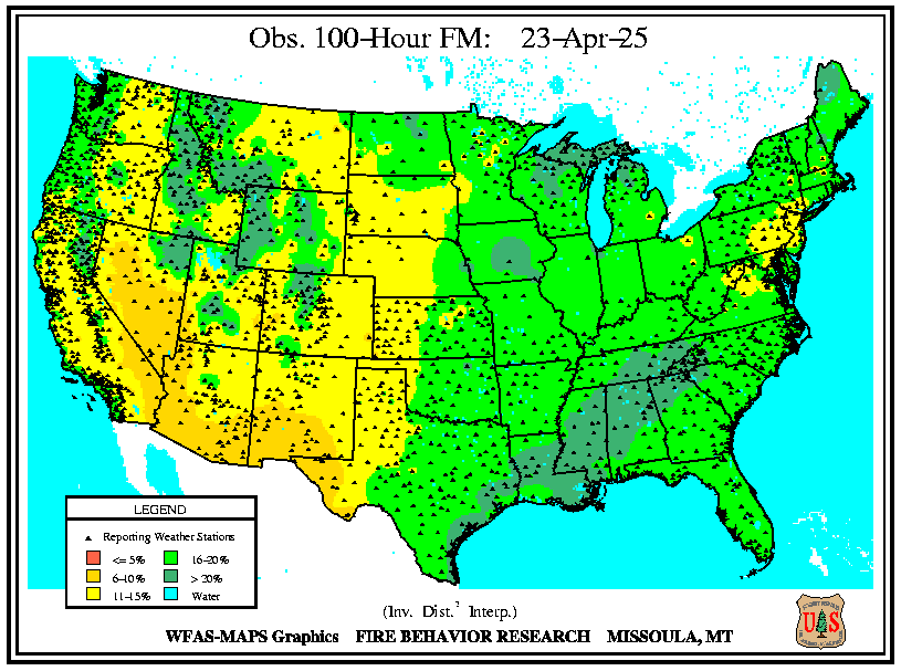
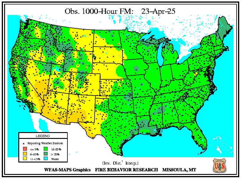
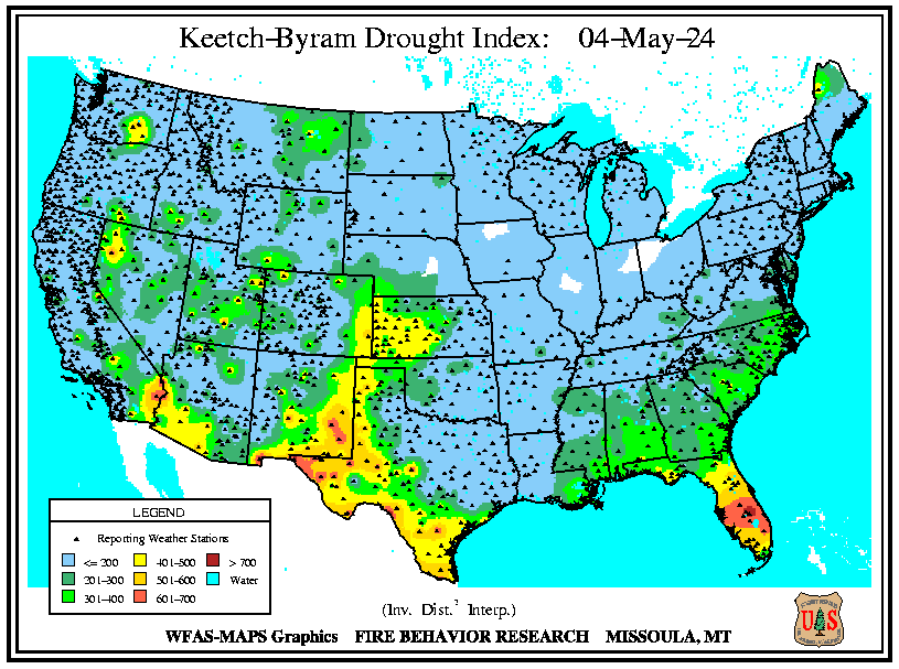
Fuel and Soil Moisture Maps
10 Hour Fuel Moisture Map, Weighed Or Computed For 1/4 To 1 Inch Diameter Fuels. Related Links
Many of the links on the page are courtesy of the U.S. Forest Service. Other Fire Weather-related links include: Eastern Area Coordination Center
Fire Weather Program : Some Background
|



 Follow us on X
 Follow us on Facebook
 Follow us on YouTube
 MKX RSS Feed