
Gusty winds are expected from portions of the Mid-Atlantic into the Northeast through the night following the system that brought rain to the area. An atmospheric river will move into the Northwest late today into Saturday bringing moderate to heavy rainfall, mountain snow, windy conditions, and high surf to the area over the weekend. Read More >
| Severe Thunderstorm Outlook Graphics - Storm Prediction Center | ||
Watches |
Mesoscale Discussion |
Day 1 Outlook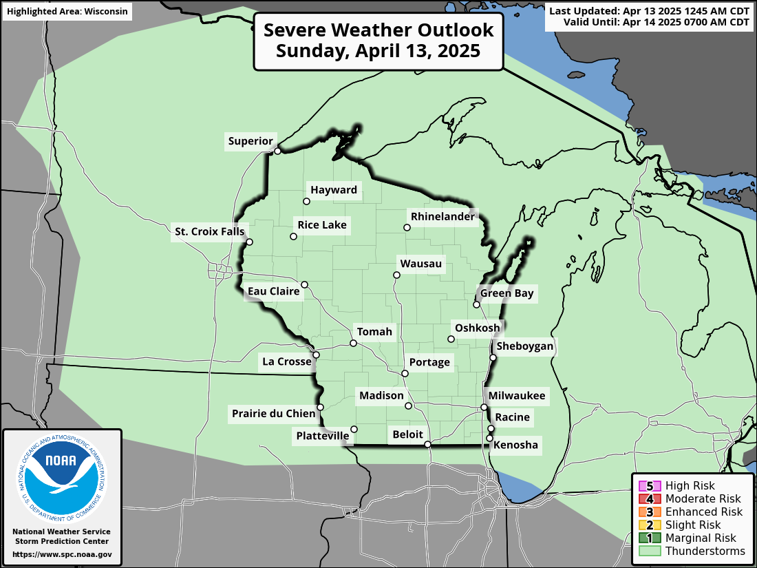 |
Day 2 Outlook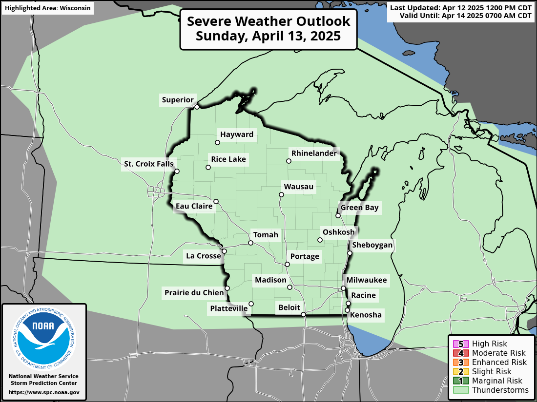 |
Day 3 Outlook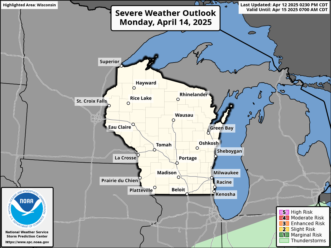 |
Day 4-8 Outlook |
|
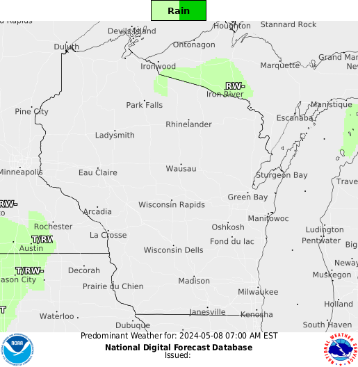
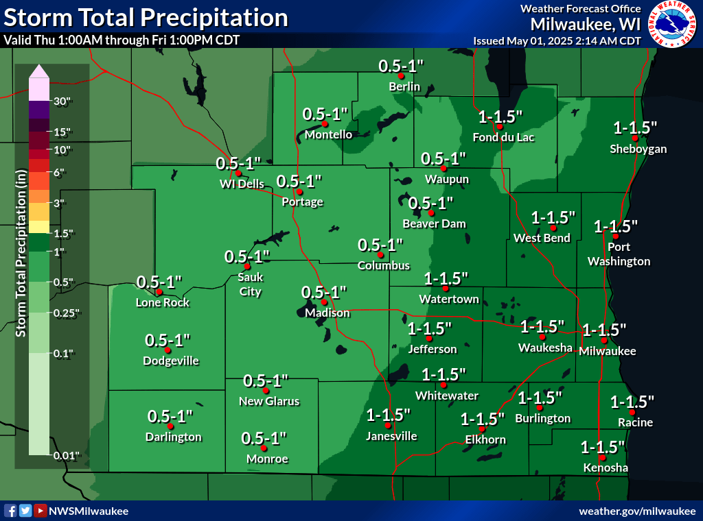
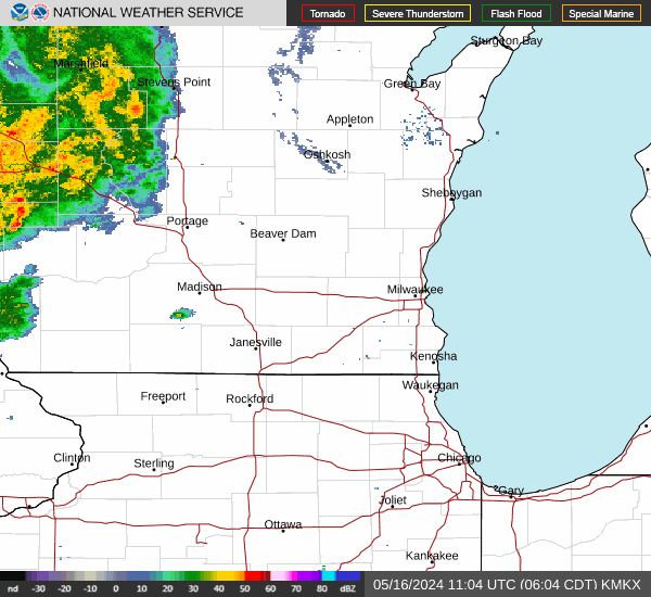
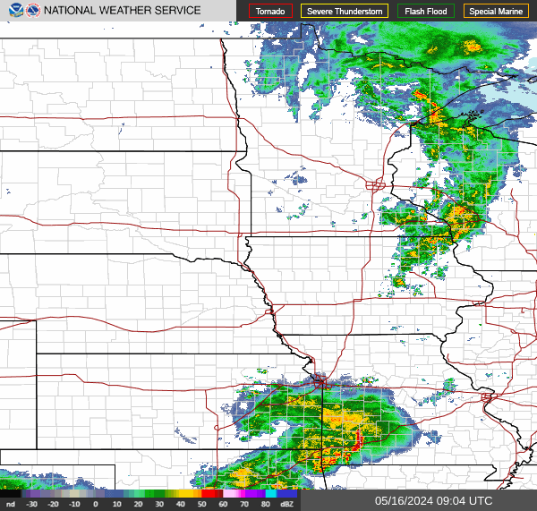
Southern Wisconsin Forecast Rainfall |
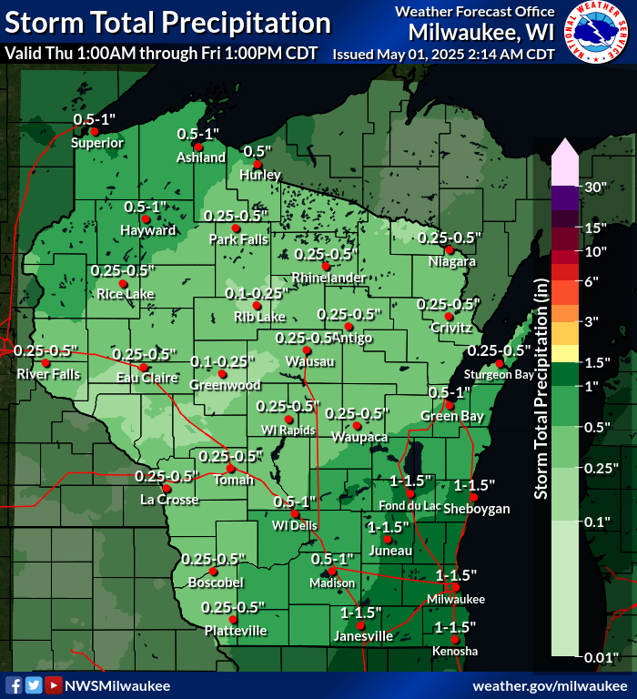
Wisconsin Forecast Rainfall |
|
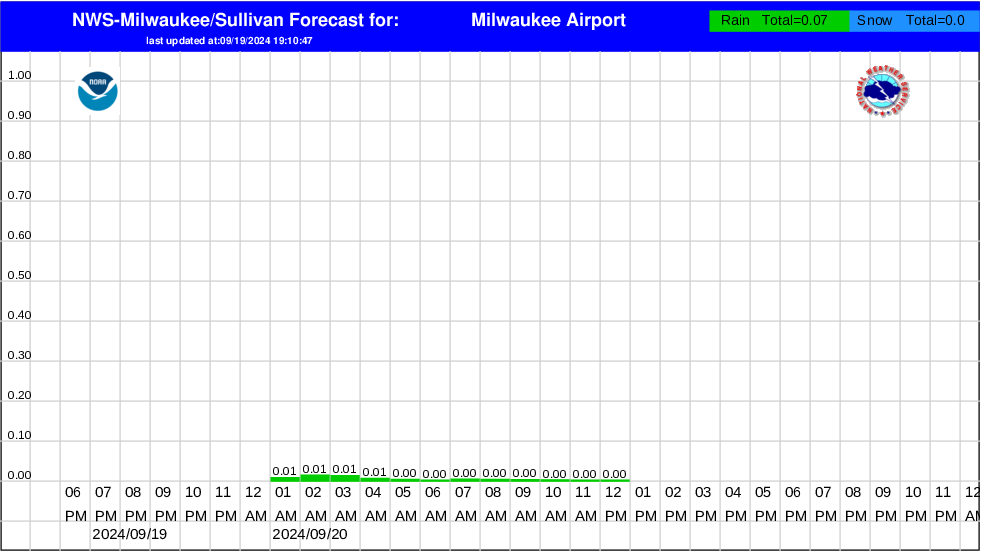
Hourly Precipitation Graphs For Southern Wisconsin
|
|
|
Current Headlines |
|
|
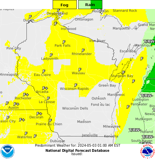
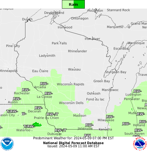
| 6 Hour Weather Type Forecasts: | |||||
 6 Hours |
 |
 |
 |
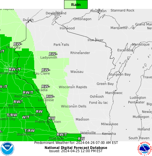 |
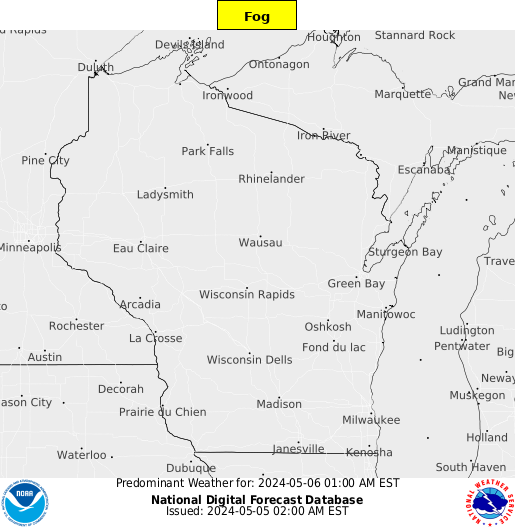 36 Hours |
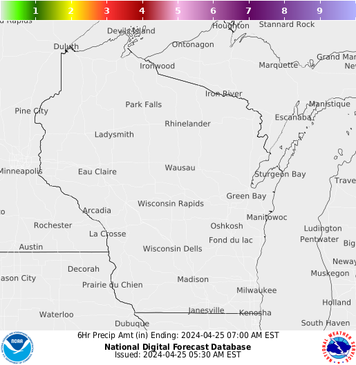
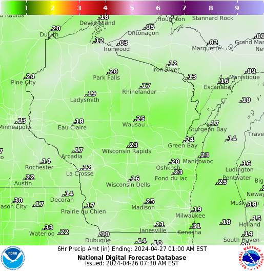
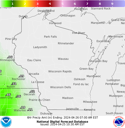
| 6 Hour Precipitation Amount Forecasts: | |||||
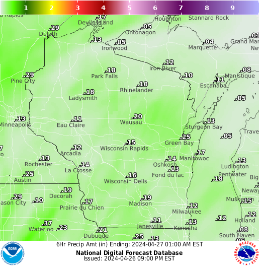 6 Hours |
 |
 |
 |
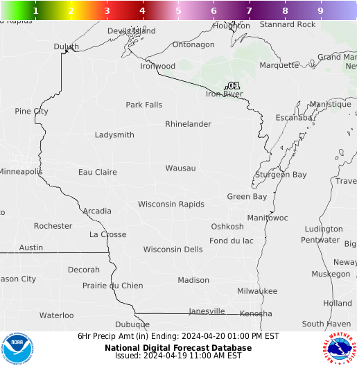 |
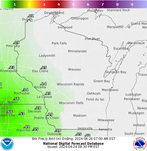 36 Hours |
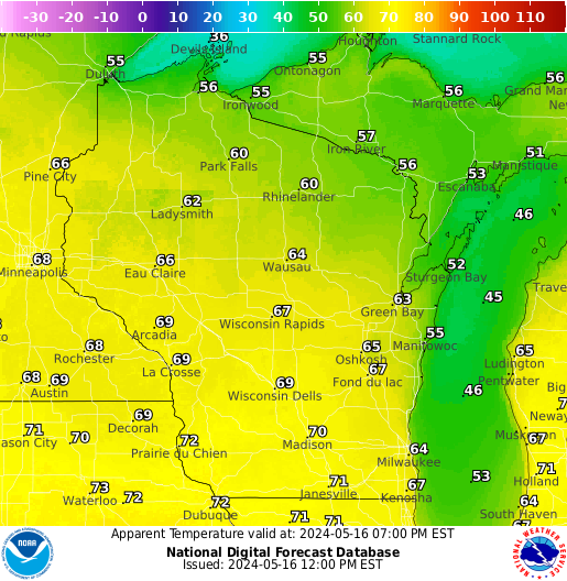
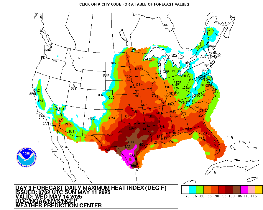
Heat Index: (Click for Heat Index chart) National Outlook Graphics/Forecast
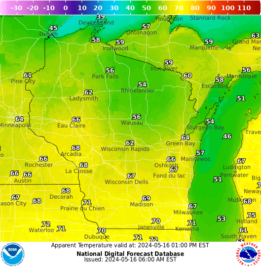
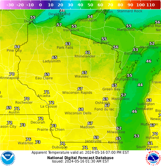
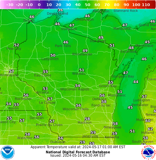
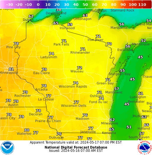
| 6 Hour Apparent Temperature (Heat Index) Forecasts: | |||||
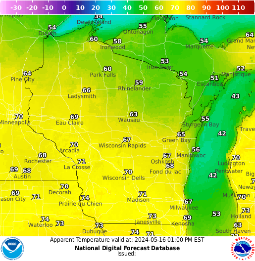 6 Hours |
 |
 |
 |
 |
 36 Hours |
Current Conditions (Click for a Statewide Round-up):
|
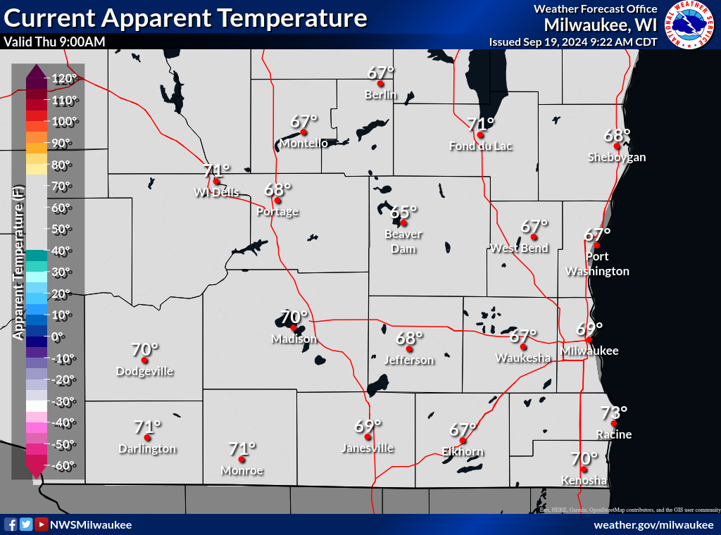
Current ApparentTemperature |
|
National Observation Plot |
Office Weather Station |
Links:
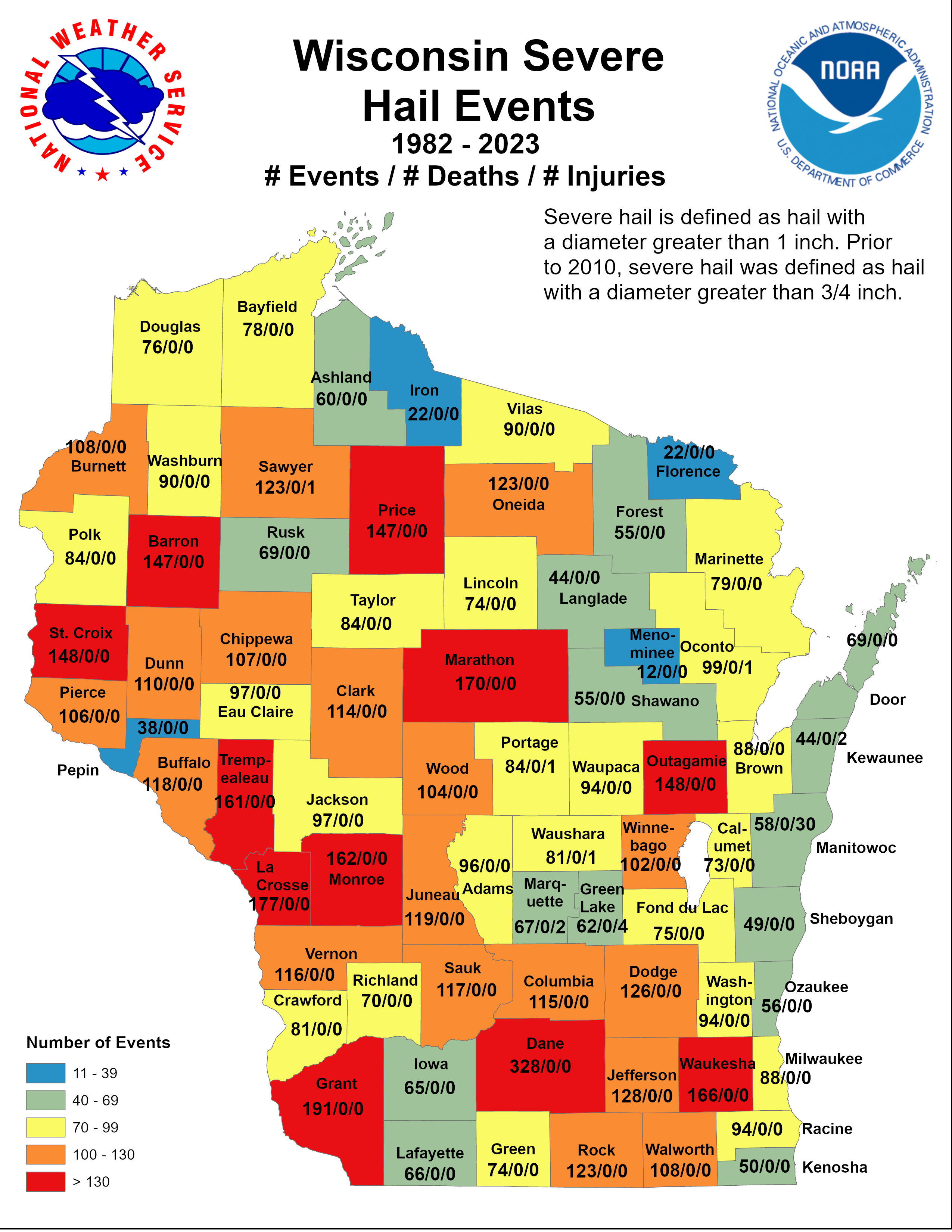
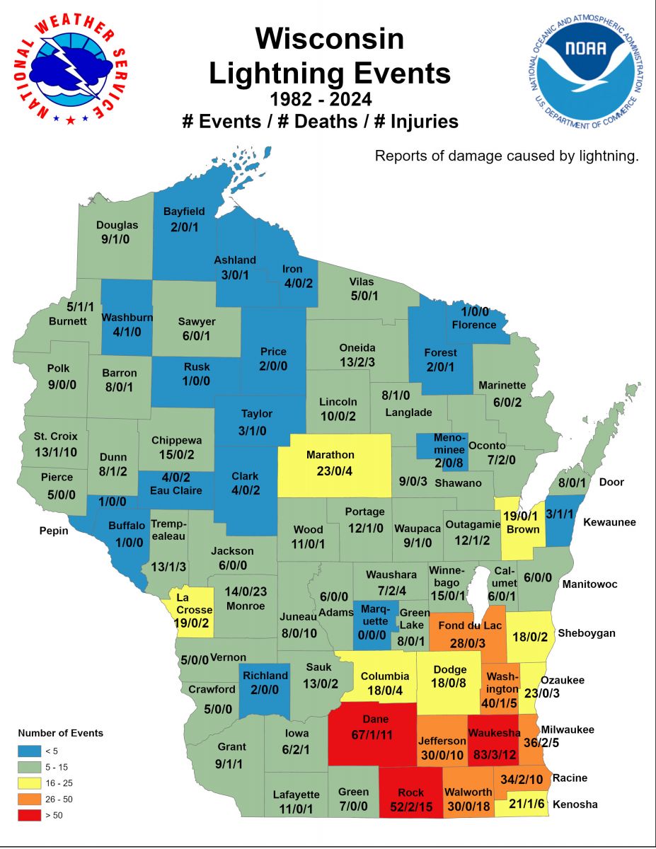
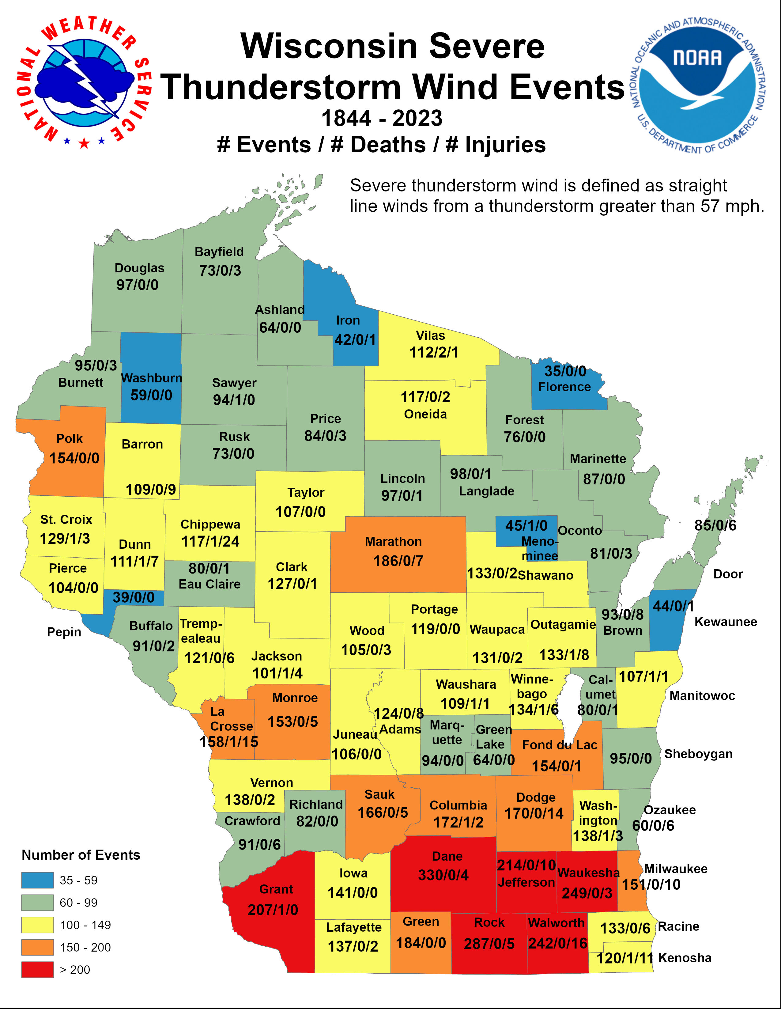
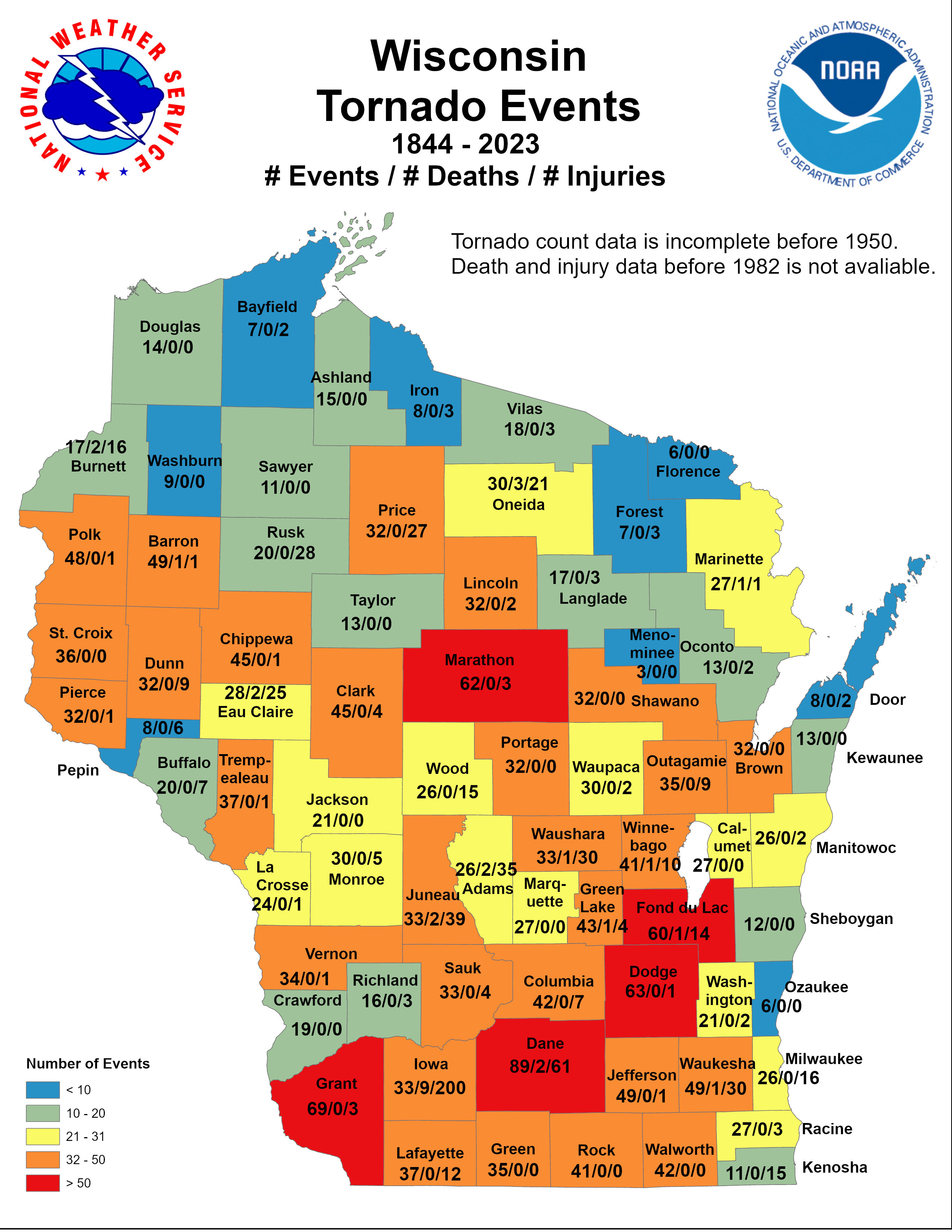
| Tornadoes, Hail, Lightning, Floods | Heat / UV / Air Quality Info | Other Stuff |
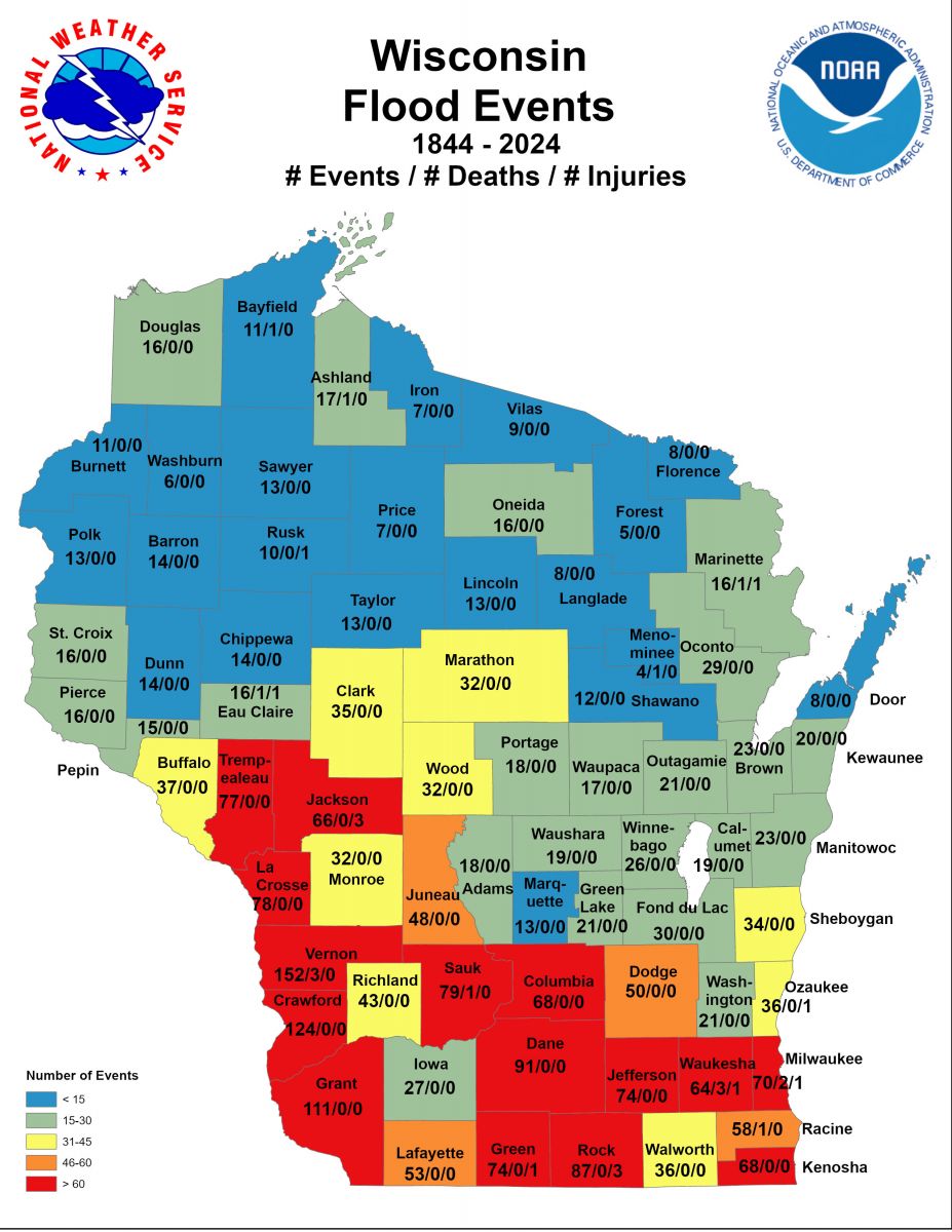
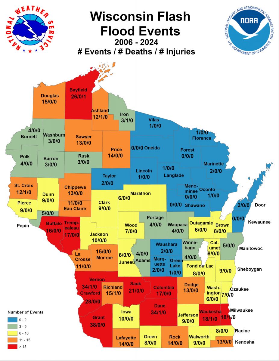
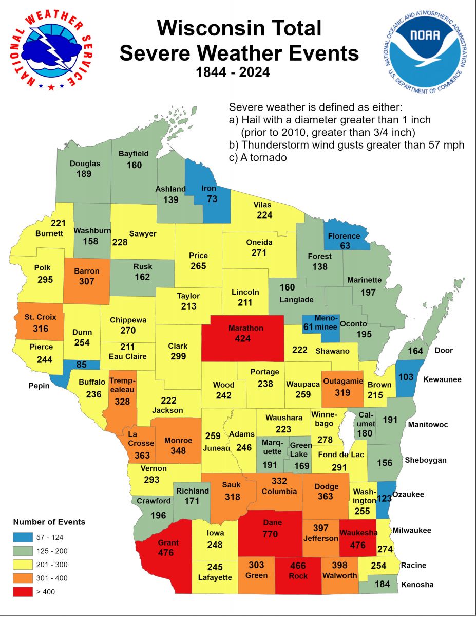
Number of Events / Deaths / Injuries for: |
 |
Media use of NWS Web News Stories is encouraged! Please acknowledge the NWS as the source of any news information accessed from this site. |
|


