An early season heat wave will bring record-breaking temperatures to parts of Texas through this weekend into next week. Thunderstorms and flooding in the Mid-Atlantic region will continue overnight into Wednesday. Severe thunderstorms and heavy rainfall are possible over parts of the Dakotas and Nebraska Wednesday. Elevated to critical fire conditions continue in the Southern Plains. Read More >
Milwaukee/Sullivan, WI
Weather Forecast Office
|
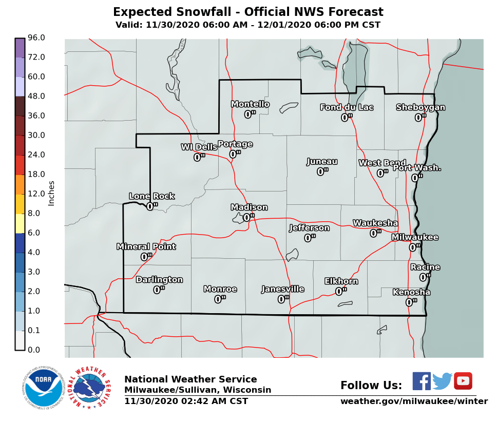
Snow Returns on Wednesday Accumulating snow is expected Wednesday morning and afternoon. The greatest chance for seeing 1" or more is for areas along and east of Madison. A snow band may set up, producing locally heavy amounts of 3-6". Current forecasts suggest this snow band will be along and northeast of a Milwaukee to Fond du Lac line, but this could change. If this band doesn't develop, snow amounts will be less (on the order of 1-2") than our current forecast. Keep up with the forecast, as it may change. Prepare for the possibility of slick roadways and hazardous travel if you'll be out and about on Wednesday. Forecast Snowfall Here's a graphic showing the snow forecast for southern Wisconsin: Here's is probabilistic snow information showing potential low and high end amounts, and percent chances of seeing specific accumulation amounts:
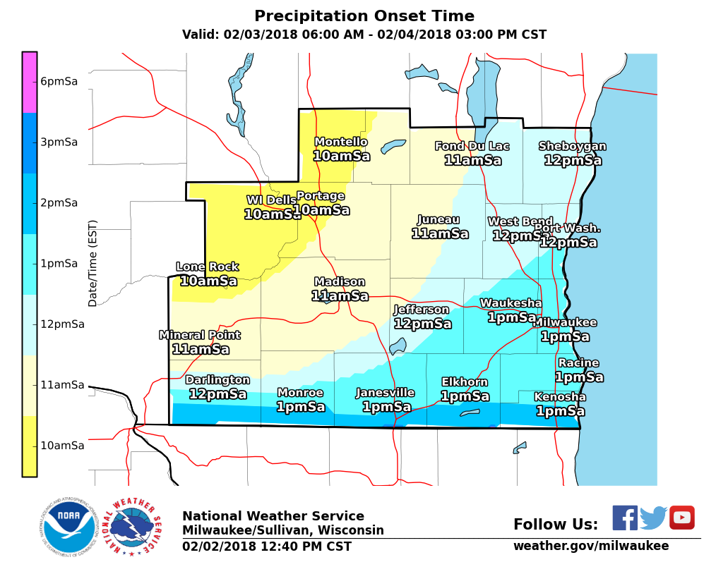
Here's is is expect start and end timing for the snow: |
||||||||
 |
 |
|
|
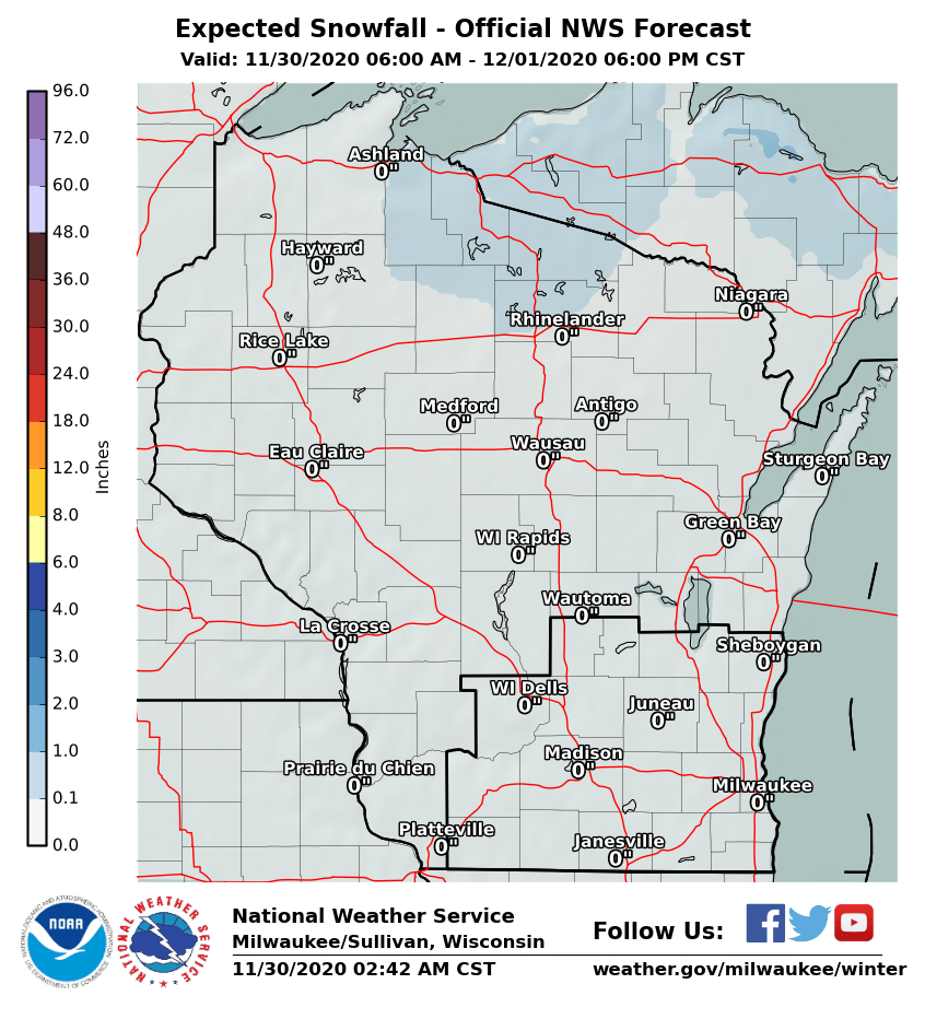
Here's a graphic showing the snow forecast for the rest of Wisconsin:
|
SPM
Hazards
National Briefing
Hazardous Weather Outlook
Skywarn
View Local Storm Reports
Submit A Storm Report
Winter Weather
Summer Weather
Beach Hazards
Local Forecasts
Marine
Aviation
Fire
Local Text Products
Local Precip Forecast
Hourly Forecast Graphics
Forecast Discussion
Climate
Normals/Records MKE/MSN
CoCoRaHS
Historic Events For Srn WI
Daily Climate Graphics
Local Climate Products
US Dept of Commerce
National Oceanic and Atmospheric Administration
National Weather Service
Milwaukee/Sullivan, WI
N3533 Hardscrabble Road
Dousman, WI 53118
262-965-2074
Comments? Questions? Please Contact Us.