Overview
A bowing line segment with an embedded Mesoscale Convective Vortex moved through far southern Illinois into the Jackson Purchase area of west Kentucky during the morning hours before slowly losing strength as it moved east of the KY Lakes region. Most communities within the path experienced winds between 25 to 45 mph. However, the storm intensified over Marshall County where a microburst produced winds up to 85 mph in Draffenville, KY.
Microburst:
|
Microburst - Draffenville, Kentucky
Track Map 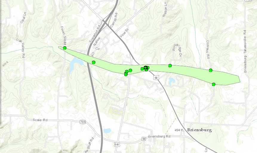
|
||||||||||||||
 |
Media use of NWS Web News Stories is encouraged! Please acknowledge the NWS as the source of any news information accessed from this site. |
|

