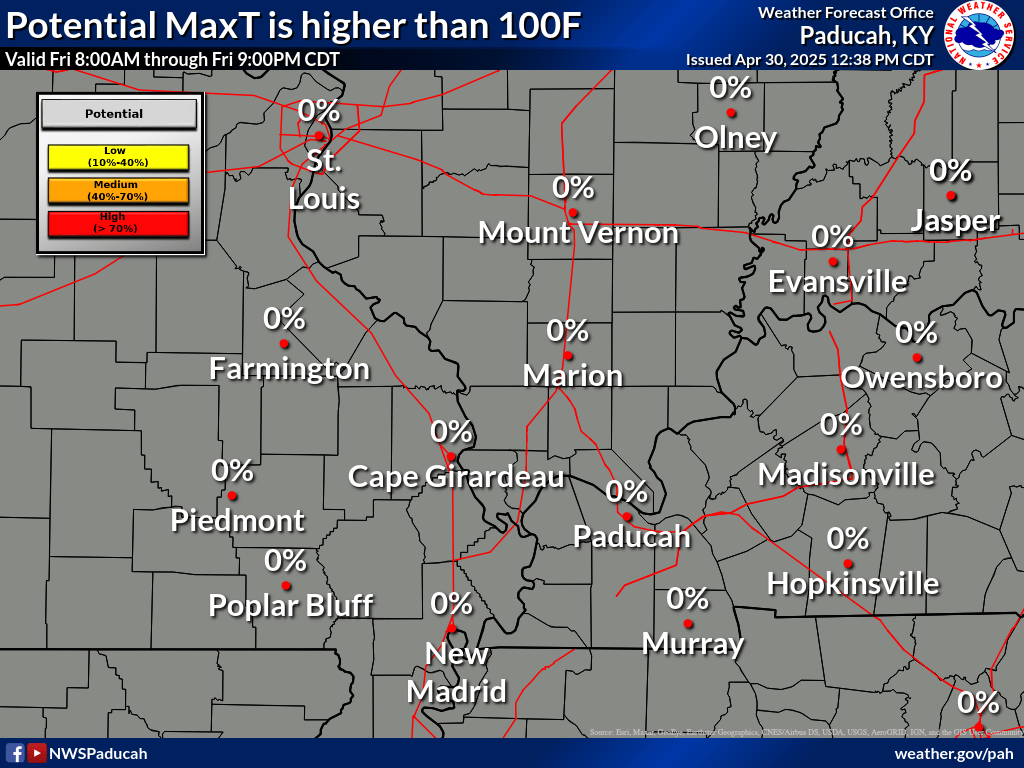
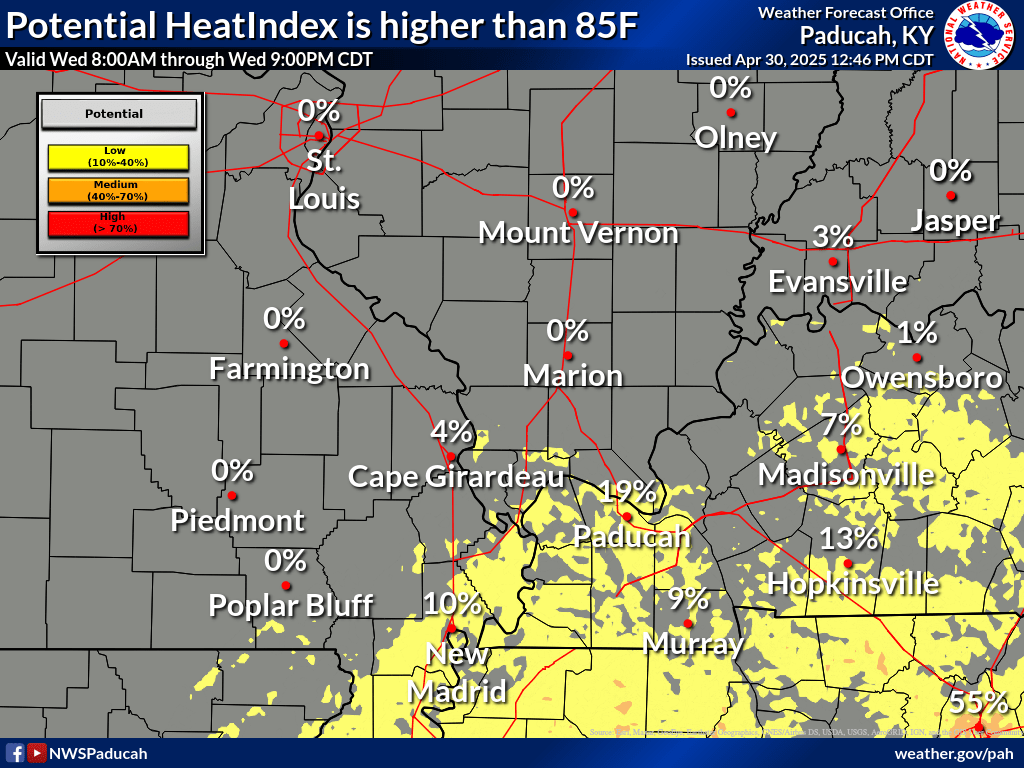
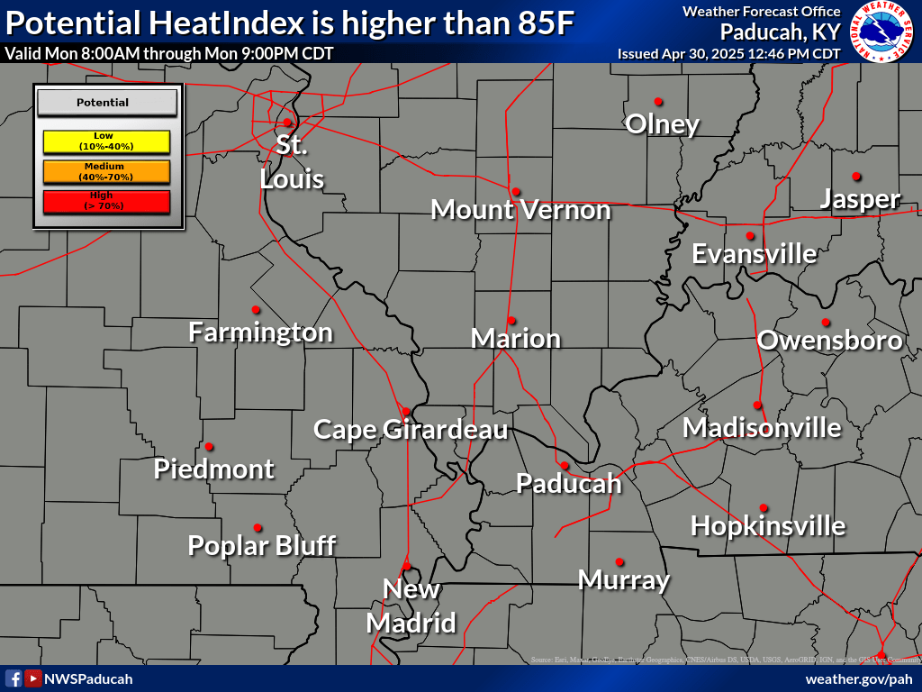
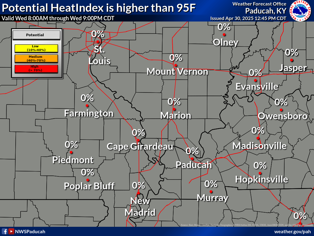
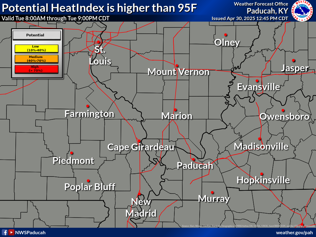
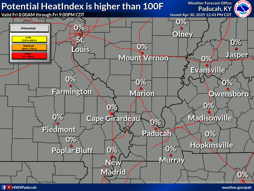
Welcome to the Experimental NWS Paducah Warming/Cooling Centers Decision Support Services Page!
Forecasts on this page are generally updated twice per day at 4:00 AM and 4:00 PM.
This page is maintained by the National Weather Service Paducah, Kentucky Forecast Office. For help and access to essential community resources and information, Dial 2-1-1 or visit 211.org to find your local 211 agency. For people in Indiana you can visit https://in211.communityos.org/ and select Shelters and Housing from the drop down menu

