A Moderate Risk of flash flooding has been issued for central Texas for ongoing impactful flash flooding, which may hamper recovery efforts. An enhanced risk of severe thunderstorms in effect for portions of the Plains today. Severe wind gusts and damaging hail are the main threats. T.D. Chantal continues across the Mid-Atlantic with local flash flooding possible. Extreme heat in the West. Read More >
September 2023 Climate Review:
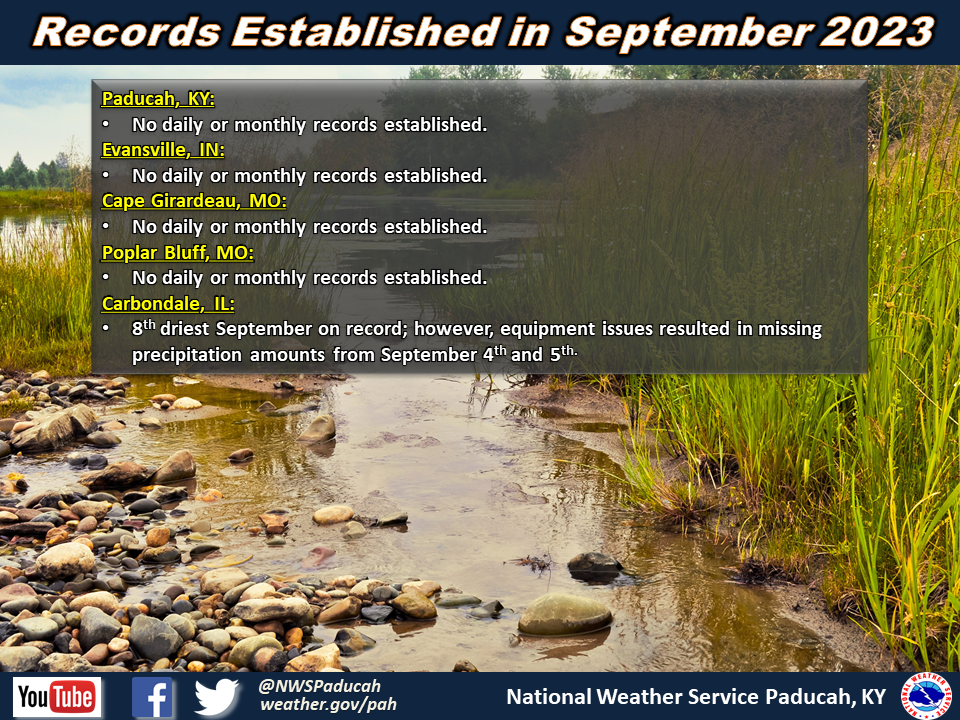
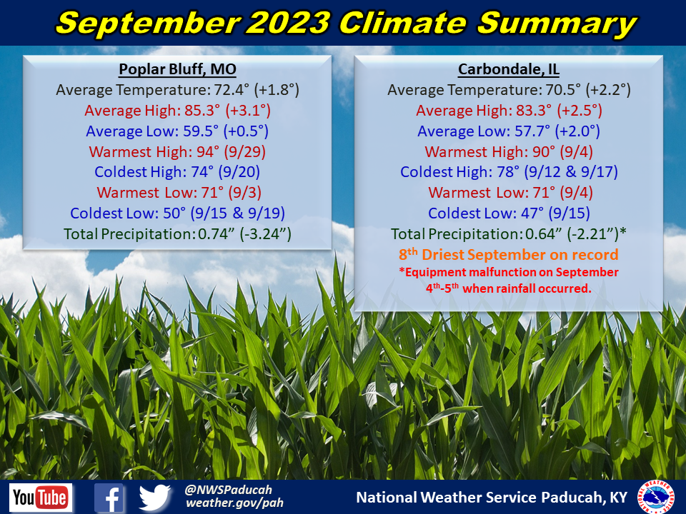
After a very active July and August, the weather during September calmed down considerably. In fact, there were only 15 warnings issued the entire month, including 12 Severe Thunderstorm Warnings and 3 Flash Flood Warnings. The month started off cooler than normal on the 1st, but quickly warmed to above normal as temperatures reached the 90-degree mark ahead of an approaching cold front. That front brought some shower and thunderstorm activity to the region on the 5th and 6th. In the wake of the front, a prolonged period of below normal temperatures persisted through the middle of the month as an upper-level trough prevailed over the eastern U.S. Spotty light precipitation was observed with a couple of frontal passages on the 12th and 17th-18th. Temperatures eventually returned to the warmer side of normal during the latter third of the month, with many locations some 10 to 15 degrees above normal by the last 5 days of September. September 27th-28th brought the bulk of severe weather for the month, with scattered reports of large hail and a few wind damage reports. In the end, the month finished about 1 to 2 degrees above normal, while precipitation was 1 to 3 inches below normal. The main exception was the southern Pennyrile region of western Kentucky, where as much as 2 to 5 inches fell the night of the 27th into the morning of the 28th.
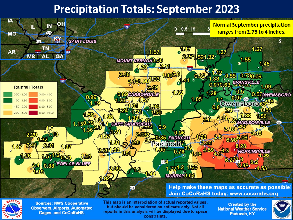
| September 2023 Review: Precipitation and Temperature Maps (Click on image to enlarge) |
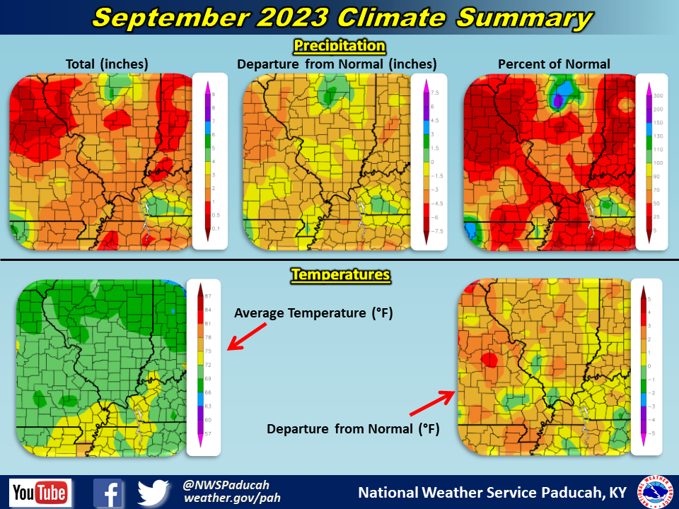 |
| Climate Maps are from the Northeast Regional Climate Center |
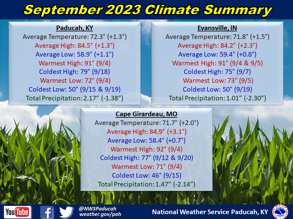
Monthly Climate Report: Paducah | Evansville | Cape Girardeau | Poplar Bluff | Carbondale