The atmospheric river over the Pacific Northwest will begin to subside today, but lingering rainfall will exacerbate ongoing catastrophic major river flooding, and landslides will continue across portions of western Washington and northwest Oregon for several days. Arctic air will plummet southward into the Northern Plains today, bringing cold air in the single digits to the region by Friday. Read More >
Overview
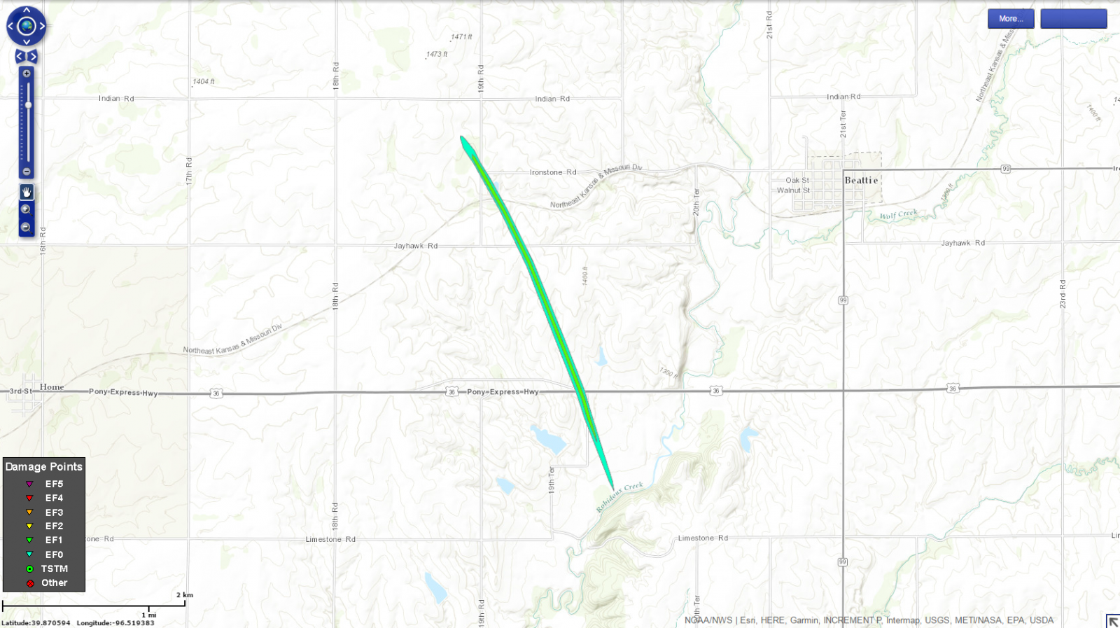
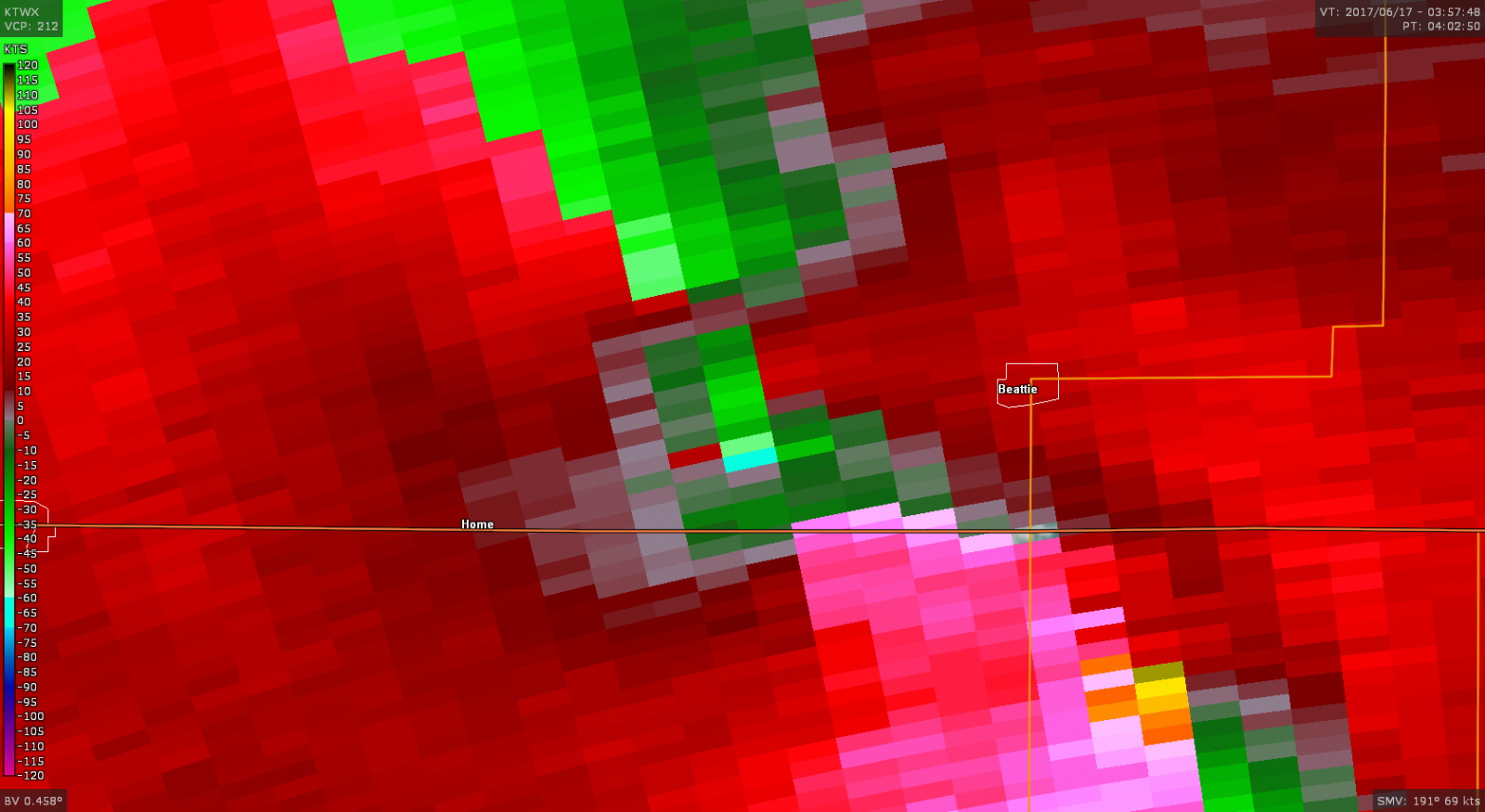
A powerful complex of storms rolled through northeastern Kansas during the overnight hours of June 16 and 17, 2017. In addition to producing very strong winds and hail up to the size of baseballs, one short-lived tornado was documented in central Marshall County.Tornadoes:
|
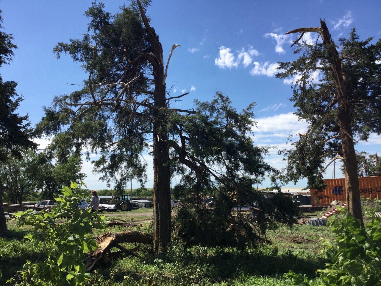
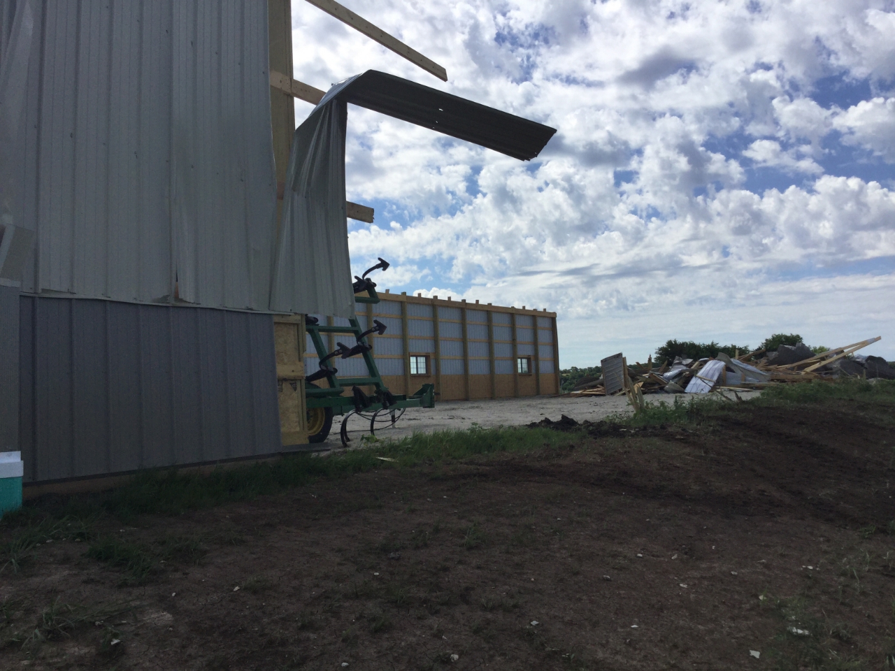
Tornado - 2.53 miles WNW of Beattie
|
||||||||||||||||
|
||||||||||||||||
The Enhanced Fujita (EF) Scale classifies tornadoes into the following categories:
| EF0 Weak 65-85 mph |
EF1 Moderate 86-110 mph |
EF2 Significant 111-135 mph |
EF3 Severe 136-165 mph |
EF4 Extreme 166-200 mph |
EF5 Catastrophic 200+ mph |
 |
|||||
 |
Media use of NWS Web News Stories is encouraged! Please acknowledge the NWS as the source of any news information accessed from this site. |
|