
A storm over the southwest U.S. will shift east through Thursday while another Pacific storm pivots over the region Friday through the weekend. Widespread low elevation rain and high elevation snow showers are expected with each storm. Both storms will shift over the central U.S. with the first occurring tonight through Thursday and the second Saturday night into Monday. Flood Watches issued. Read More >
NWS Topeka Fire Weather Information
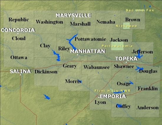
Click on the Map Below for a Fire Weather Planning Forecast by County
If the below links do not work, please access our backup page.
Products We Issue:
Observations and Data:
Other Helpful Links:
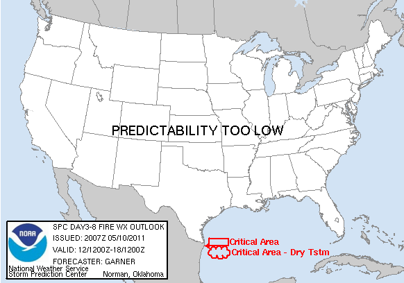
| SPC Fire Outlook Today | SPC Fire Outlook Tomorrow | SPC Fire Outlook Day 3-8 |
 |
 |
 |
| 1 Hour Fuel | 10 Hour Fuels | 100 Hour Fuels |
 |
 |
 |
| Drought Monitor | Palmer Index | Drought Outlook |
 |
 |
 |

