
Scattered severe thunderstorms capable of damaging wind gusts and hail are forecast across the Northeast U.S. and North Dakota Thursday. Heavy to excessive rainfall is possible over eastern New Mexico into western Texas and over the western Florida peninsula Thursday. Read More >
Atlanta
Center Weather Service Unit
| ZTL Airspace Summary / KCLT TAF For ATC Planning Purposes Only | |||
|---|---|---|---|
|
|
CLT METAR:
|
||
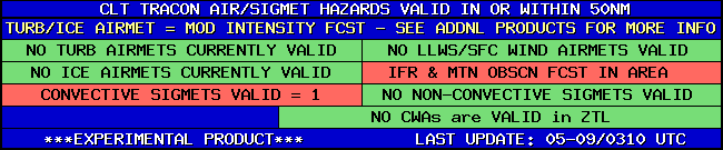
| CLT TRACON HAZARDS | |
|---|---|
|
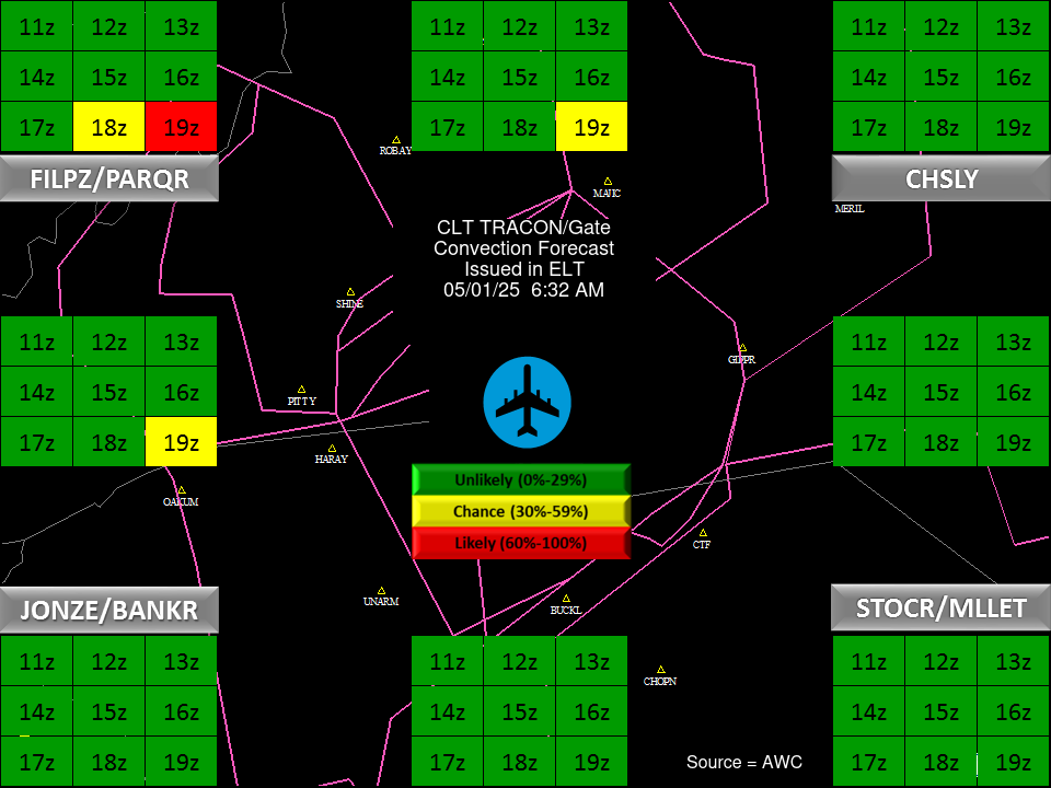
| CLT Convection Gates |
 |
| Forecast Surface Map Loop / Collaborative Convective Forecast Product / Vertical Wind Profile | ||
|---|---|---|
 |
 |
|
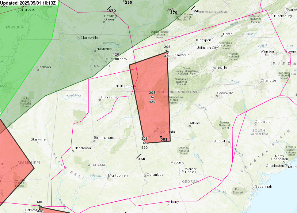
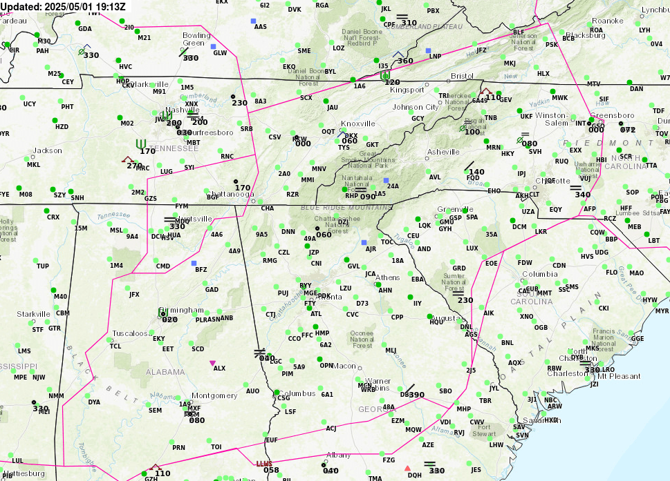
| AIRMETs & SIGMETS/ Southeast Radar loop / Satellite Image (click on image to enlarge) | ||
|---|---|---|
 |
 |
|
US Dept of Commerce
National Oceanic and Atmospheric Administration
National Weather Service
Atlanta
299 Woolsey Road
Hampton, GA 30228
770.210.7693
Comments? Questions? Please Contact Us.


