Brief Summary of Winter Precipitation Event on Feb. 1, 2007
|
The synoptic weather pattern, prior to the onset of precipitation on the morning of February 1st, 2007, featured modified arctic high pressure centered over the outer banks of North Carolina. An area of low pressure was situated along the gulf coast near New Orleans, with a warm front extending northeastward to near Charleston. An upper disturbance was tracking across the lower Mississippi Valley and gulf coast states, spreading precipitation eastward across Alabama and Georgia. Surface temperatures ranged from the mid to upper 30s from around Augusta to Orangeburg to around 34 in the Columbia area, to around 30 in the Lancaster and Newberry areas. Surface dewpoints were in the teens to lower 20s around the time precipitation moved into the midlands, which occurred around 4 am.
Precipitation mainly started out as a mix of snow and sleet along and north of a line from Saluda to Winnsboro to Pageland. The remainder of the midlands generally saw sleet mixed with rain during the early morning hours. As precipitation fell into the drier air mass close to the surface, temperatures dropped a few degrees, and this allowed some snow to make it a bit further south into the Columbia Metro area between 8 am and 10 am. Snow and sleet fell across Lancaster and Chesterfield counties for several hours before changing over to freezing rain briefly and eventually all rain by early afternoon. A few hours of freezing rain mixed with sleet resulted in some ice accumulations mainly north of Interstate 20.
|
|
|
Snowfall Totals for the Event
Freezing Rain Totals for the Event
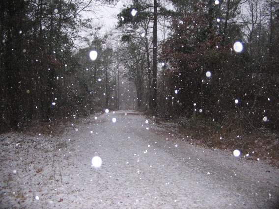
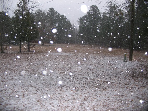
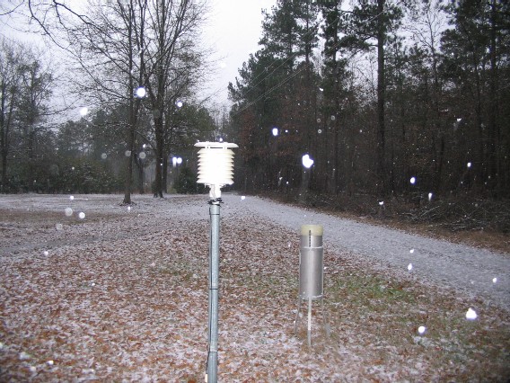
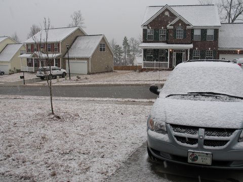
Here are a few Images of the Storm, taken in the Irmo and Lexington Areas around Columbia.
These images were taken by NWS employees.
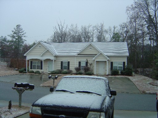
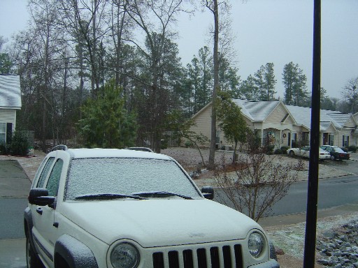
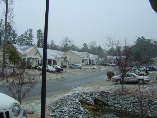
The following 3 pictures were taken by Bruce Elrod, of Longtown, SC