For the latest official forecast and hazards for your location, enter your city/state or zip code above!
Current Conditions | Severe Thunderstorms | Rainfall/Precipitation | Rivers
Tropical | Fire Weather | Winter Weather | National Outlooks
 |
Weather BriefingRoutine and Event Weather Briefings issued by the National Weather Forecast Office in Columbia, SC. |
 |
Enhanced Hazardous Weather Outlook (EHWO)Experimental graphical outlook for potential advisories, watches, and warnings in the next 7 days across southeast SC/GA and the adjacent coastal waters |
 |
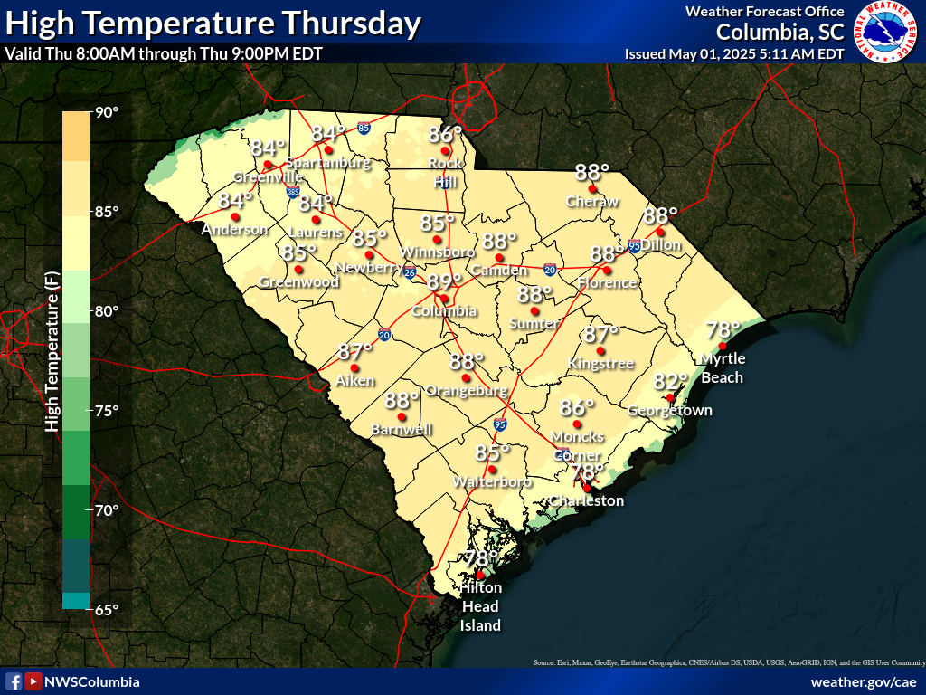
Central SC and East-Central GA Forecast ImagesTemperature, Wind and Precipitation forecast maps for central SC and east-central GA. |
 |
SC Forecast ImagesTemperature, Wind and Precipitation forecast maps for South Carolina.
|
 |
NWS GIS ViewerGIS-centric meteorological display interface that can display a wide range of data including observations, forecasts, radar, satellite, hazards, weather model data and much more |
|
 |
Surface ObservationsSurface weather observations and analyses |
 |
Marine/Tide ObservationsMarine observations and forecasts, including sea surface temperatures and tides NWS Charleston Marine | National Data Buoy Center | Tides | Water Temperatures |
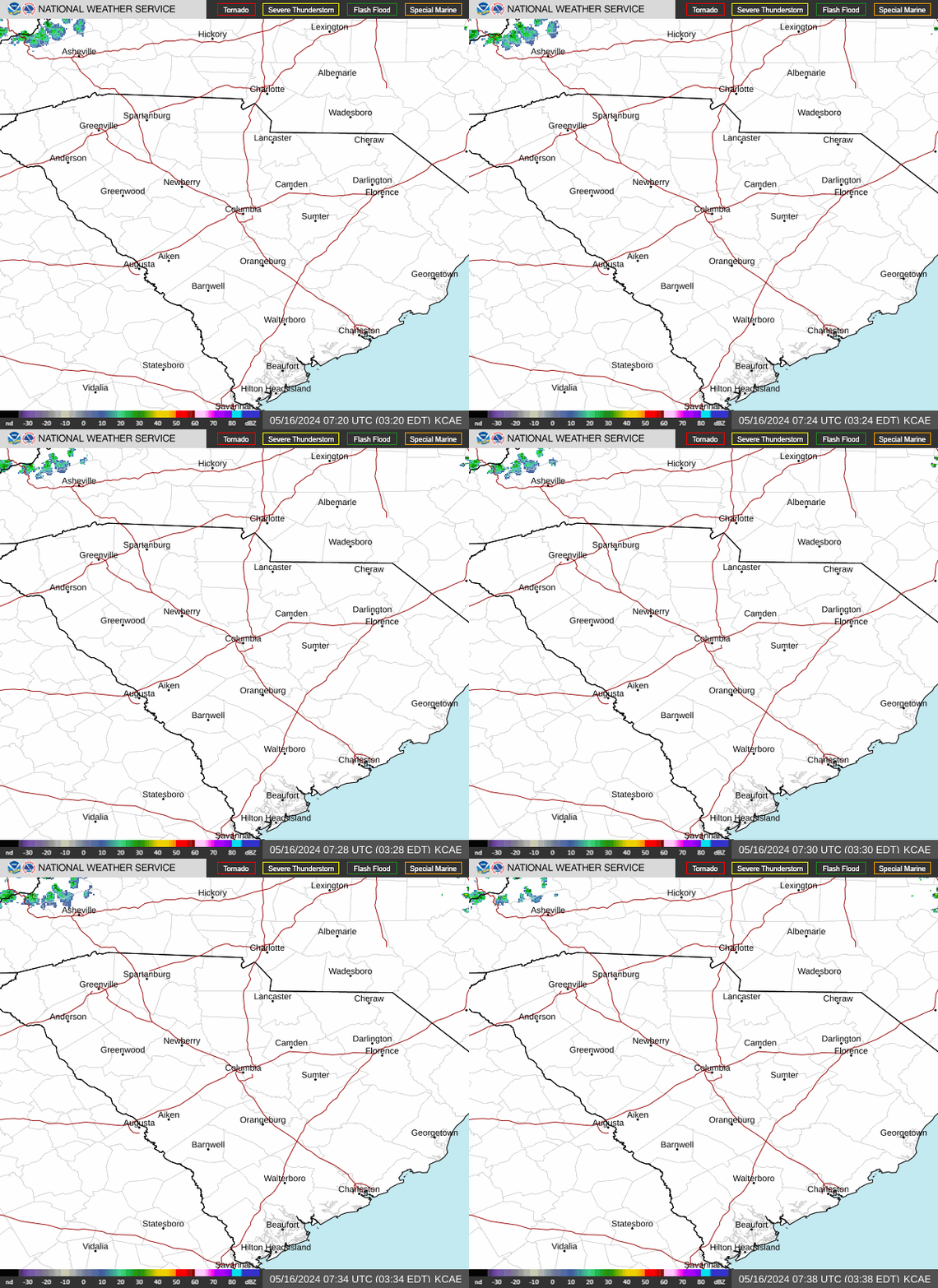 |
Doppler Radar ImageryWSR-88D doppler radar imagery covering southeast SC and GA Additional nearby radars: Charleston, SC | Wilmington, NC | Greer, SC | Robins AFB, GA | Atlanta, GA | Raleigh, NC |
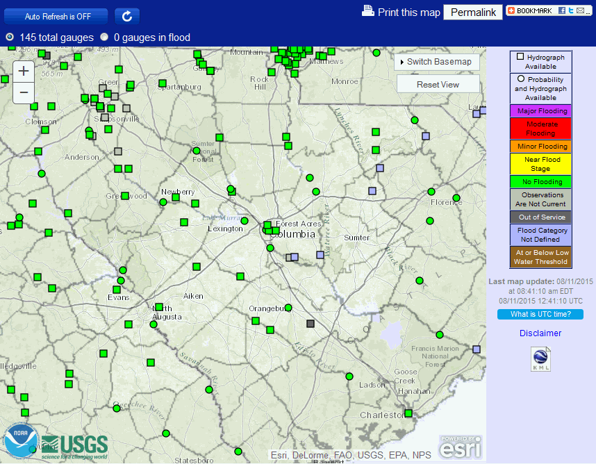 |
Rivers/Lakes/TidesThe Advanced Hydrologic Prediction Service (AHPS) provides forecasts and observations for river, lake and tide levels |
 |
Satellite ImageryGOES imagery and more |
 |
Current WatchesCurrent Severe Thunderstorm and Tornado Watches (issued by the Storm Prediction Center) |
 |
Current DiscussionsCurrent Mesoscale Discussions (issued by the Storm Prediction Center) |
Severe Thunderstorm OutlooksOutlooks indicating the probability for severe thunderstorms (issued by the NWS Storm Prediction Center) Day 1 | Day 1 Tornado | Day 1 Hail | Day 1 Wind | Day 2 | Day 3 | Days 4-8 |
 |
Mesoscale AnalysisMesoscale analysis of current (and past) weather conditions (from the Storm Prediction Center) |
|
 |
Storm ReportsPreliminary reports of tornadoes, hail and strong winds |
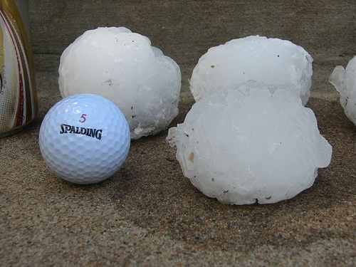 |
Report Severe Weather/Damage To Us
|
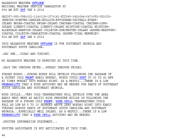 |
Text ProductsFlash Flood Watch | Flash Flood Warning | Flash Flood Statement |
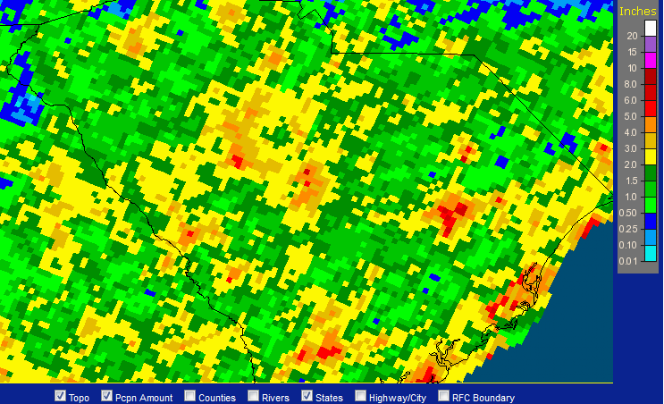 |
Rainfall/Precip. ReportsCoCoRaHS Maps |
 |
Precipitation ForecastsPrecipitation amount forecasts (issued by the NWS Weather Prediction Center) Day 1 | Day 2 | Day 3 | Days 1-2 | Days 1-3 | Days 4-7 | 7-Day Total | Probablistic forecasts |
 |
Excessive Rainfall OutlooksExcessive rainfall potential outlooks (issued by the NWS Weather Prediction Center) |
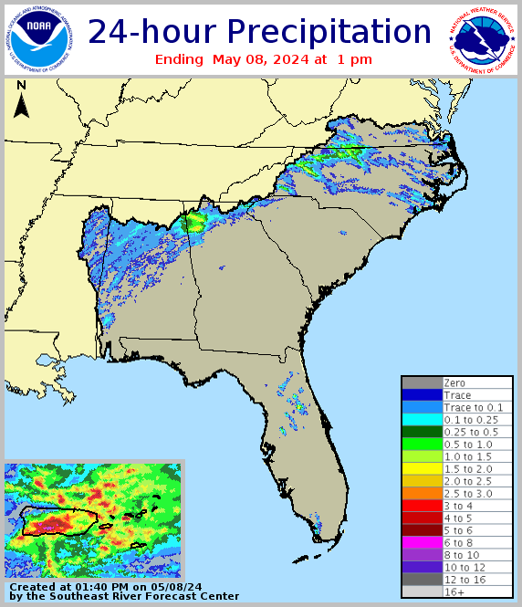 |
NWS Southeast River Forecast Center ProductsVarious observed and forecast precipitation products for the Southeast U.S. |
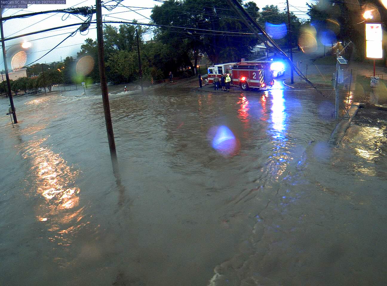 |
Report Flooding To Us
|
 |
U.S. Drought MonitorA synthesis of multiple indices and impacts that represents a consensus of federal and academic scientists regarding drought conditions |
 |
NWPS |
| Saluda | Broad | Wateree | Savannah | Congaree | Edisto |
|---|---|---|---|---|---|
 |
Tropical Weather OutlookProbability of tropical cyclone formation within the next several days |
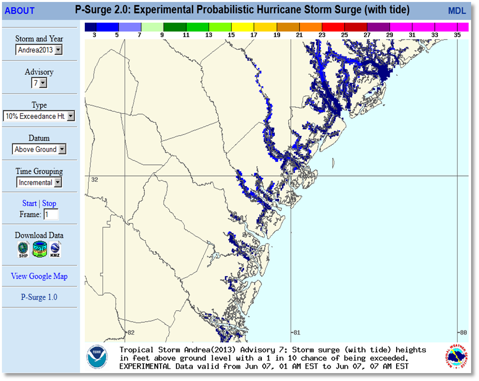 |
NWS Columbia Tropical Weather PageLocal Tropical Information |
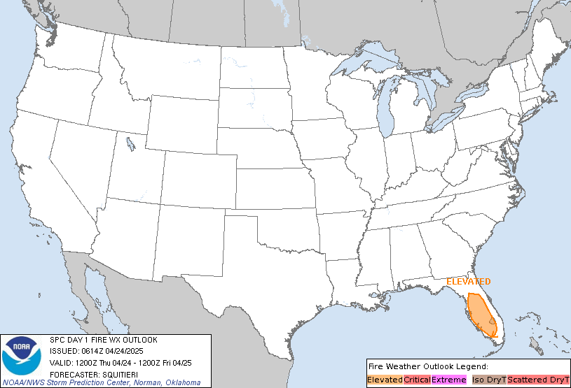 |
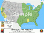
National Fire Weather OutlooksFire weather outlooks for the U.S. (issued by the NWS Storm Prediction Center) Day 1 | Day 2 | Days 3-8 |
 |
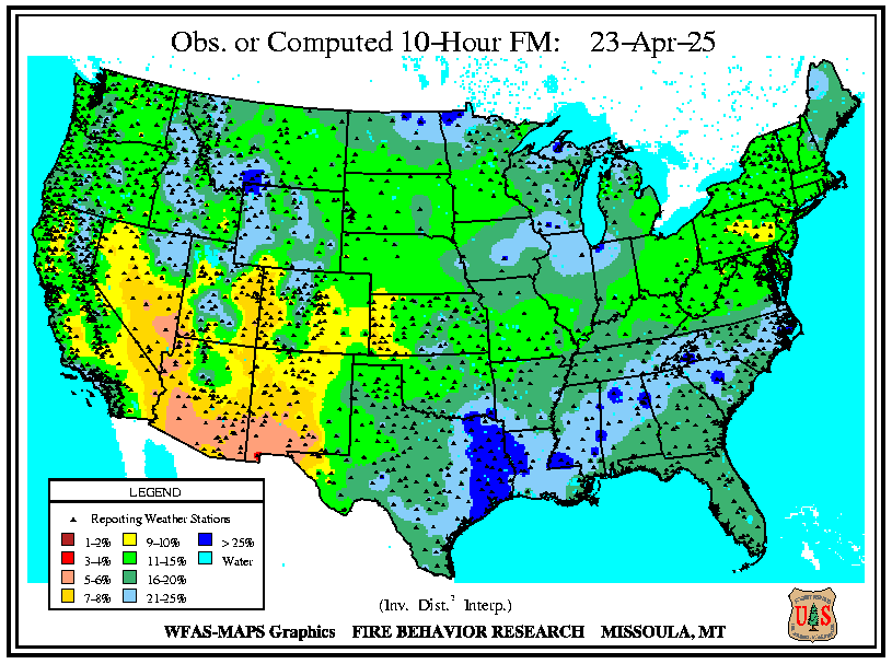
Significant Wildland Fire Potential OutlooksMonthly/seasonal outlooks for signficant wildland fire potential (issued by Predictive Services) |
 |
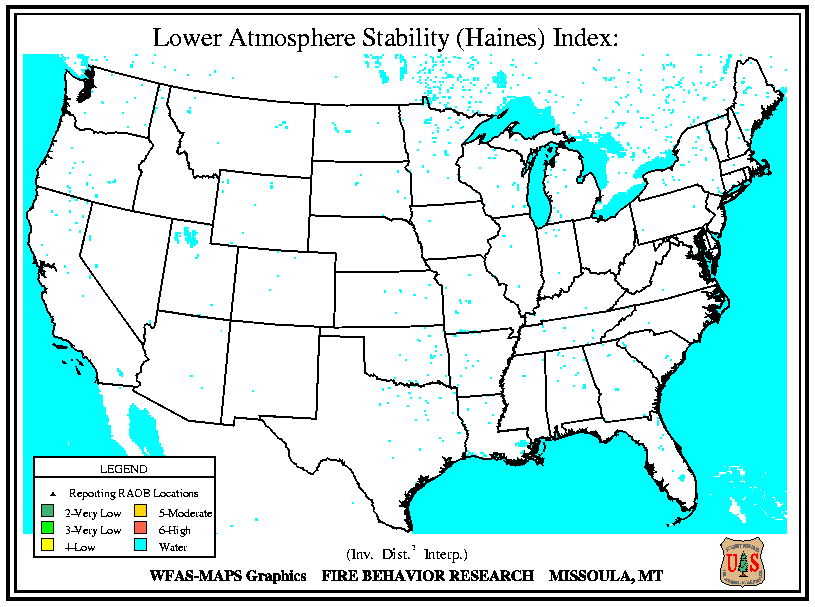
Fuel Moisture MapsDead fuel moisture responds solely to ambient environmental conditions and is critical in determining fire potential. 10 hr | 100 hr | 1000 hr |
 |
Fire Index Products |
 |
Text ProductsWinter Weather Message Check date/time to ensure the product is current. |
 |
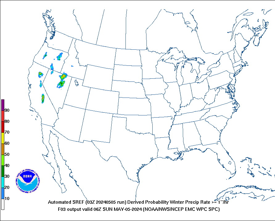
Snow/Ice Probability GraphicsProbability of snow reaching or exceeding 4, 8 and 12 inches and the probability of freezing rain reaching or exceeding 0.25 inches (from the NWS Weather Prediction Center) |
 |
National Impact GraphicsExperimental products depicting model-derived winter weather impacts
|
 |
CAE Winter Weather Forecasts
|
 |
U.S. Hazards AssessmentAssessment of potential hazards related to climate, weather and hydrological events
|
 |
Climate Outlooks |
|
|
|||
|
|