|
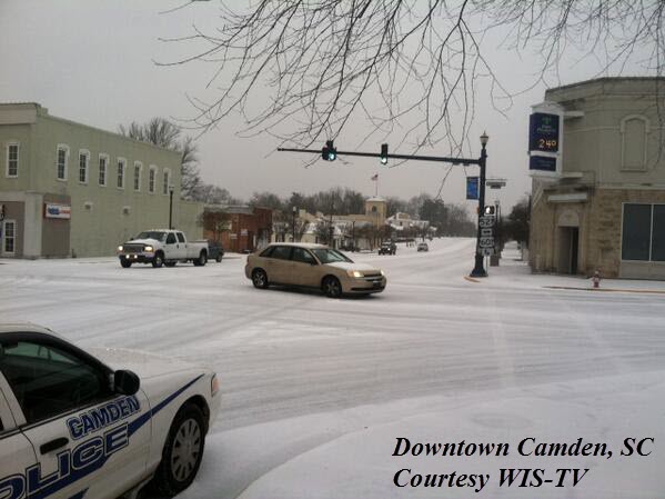
Event Synopsis...Two separate storm systems impacted the Region from Tuesday, February 11th through Thursday, February 13th. The first system came through the region early in the day on the 11th, and brought snow and sleet to much of the Northern Midlands and the Pee Dee Regions. The second, and more severe system, impacted the entire Southeast.
At the surface, Arctic air was beginning to filter into the forecast area from the north during Tuesday. Meanwhile, a fast moving upper level system moved across the area early Tuesday morning into the afternoon. With this system, the cold air at the surface had only begun moving in just South of the North/South Carolina borders. This brought some snowfall to many counties across the Northern part of the forecast area, while the remainder of the area stayed only a cold rain. After this system, there was a lull before the more significant system moved into the region.
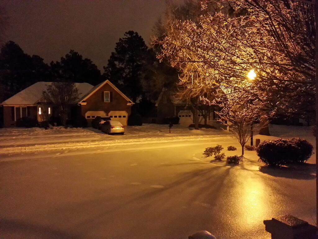
By Tuesday night, the cold, Arctic air continued to sink Southward, and would soon cover the entire state of South Carolina, and all of Eastern Georgia. Aloft, a very strong upper level system was digging towards the Southeast. This approaching low began to lift warm and moisture rich air over top of the Arctic surface air.
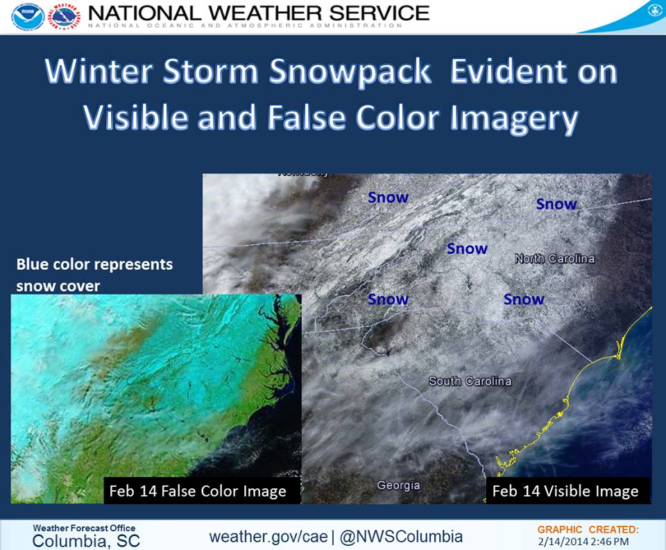
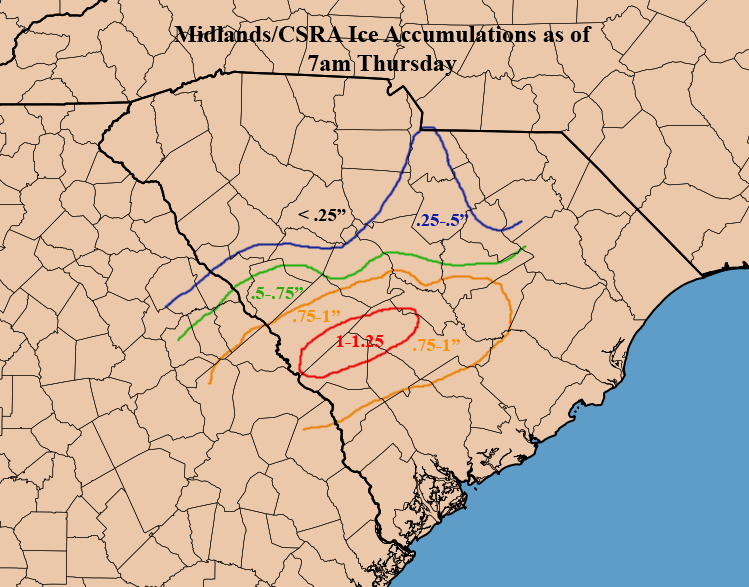
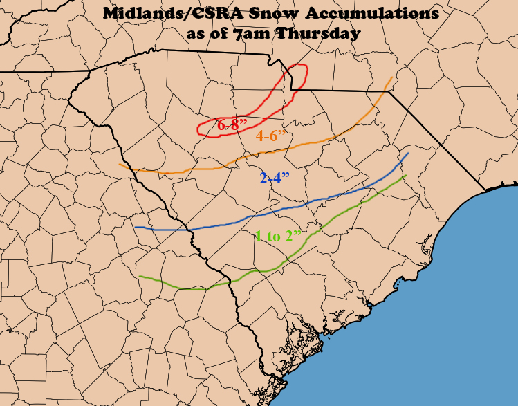
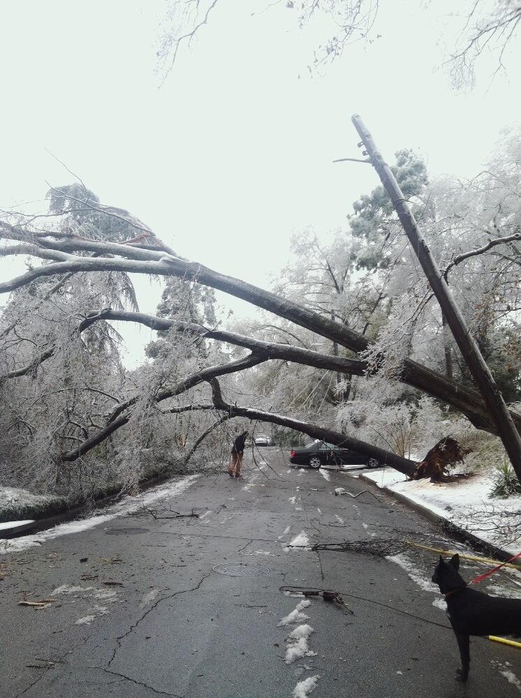
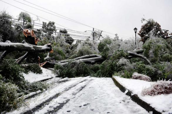
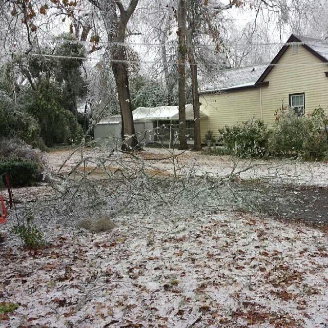
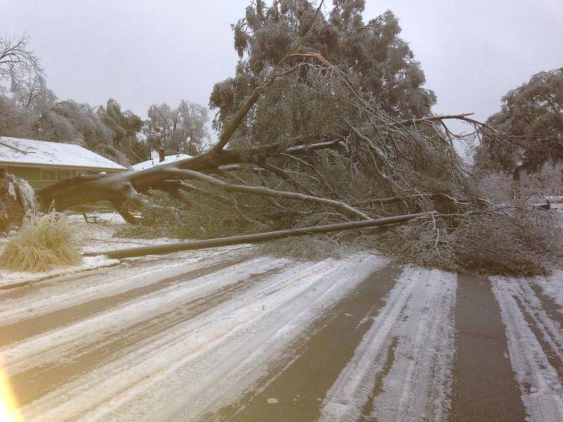
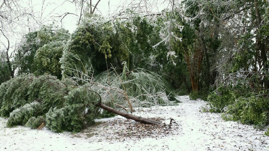
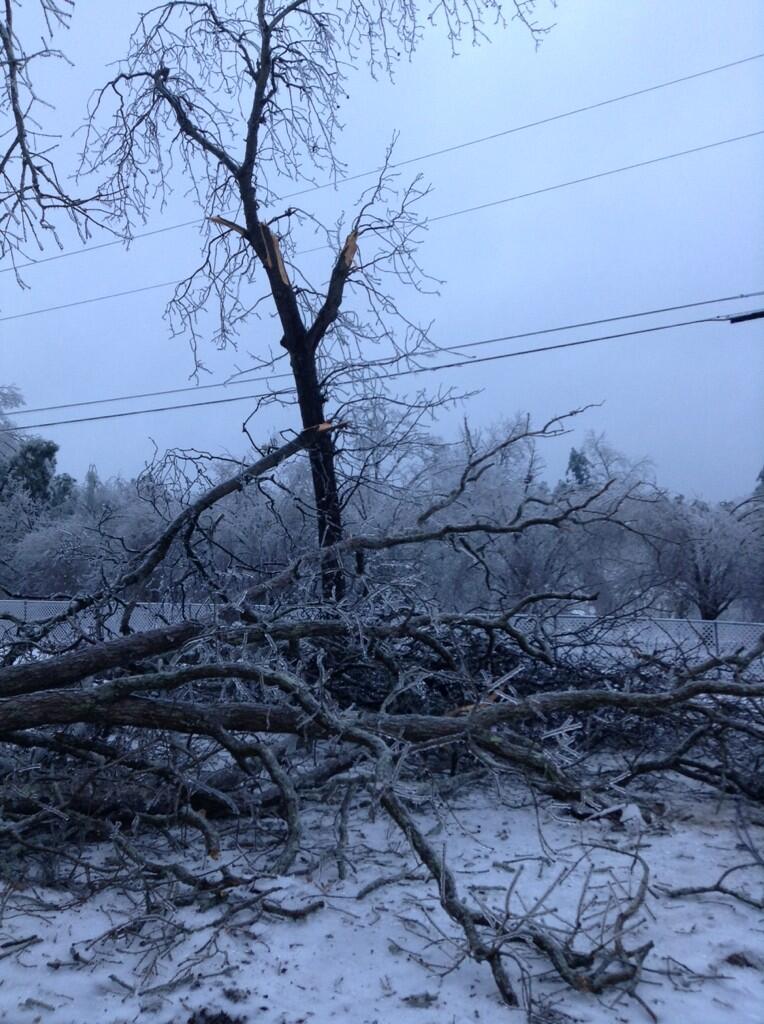
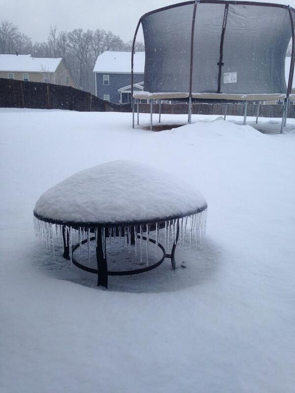
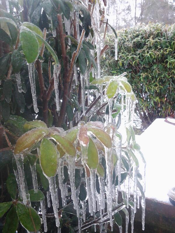
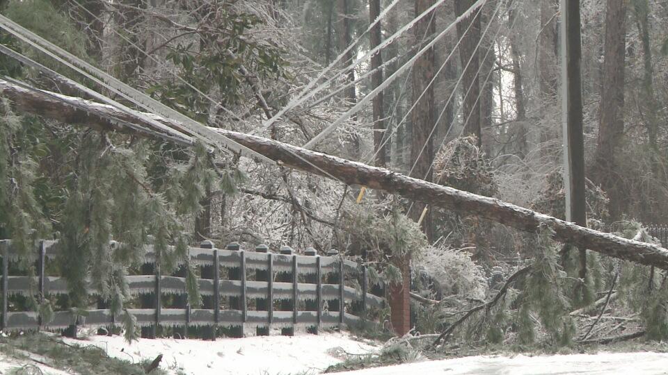
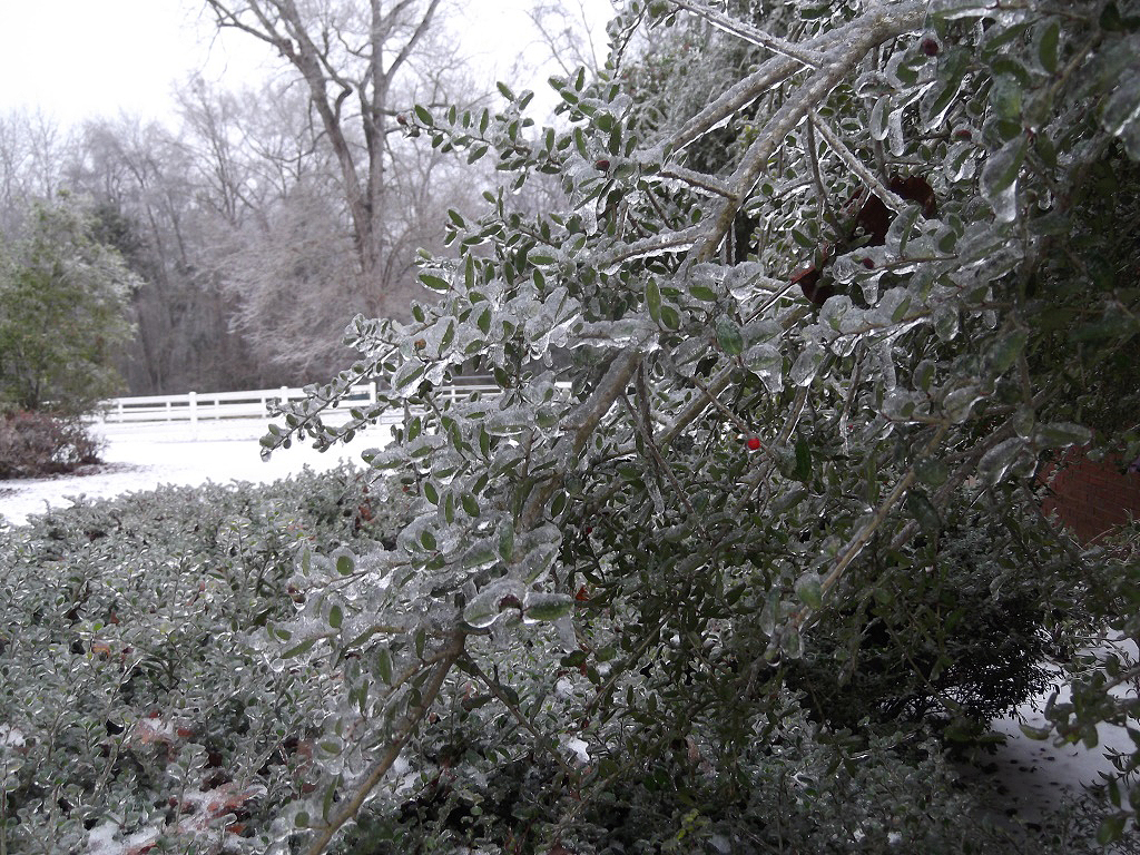
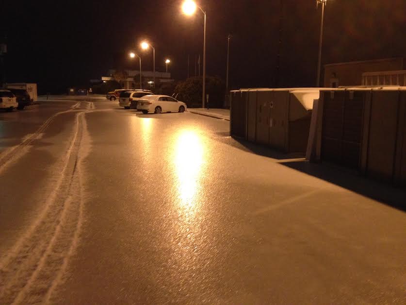
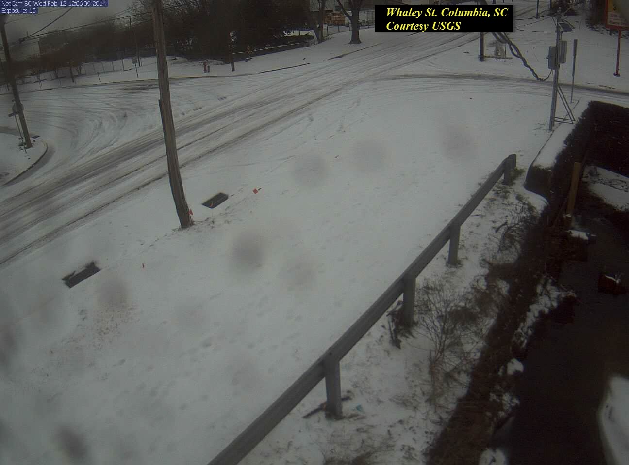
Areas across the Northern portions of SC were cold enough both at the surface and aloft to cause this moisture to fall as snow, with significant snow amounts reported. Across the Central portions of the SC, there was a transition zone in which there was just enough warm air aloft to melt some of the snow, but also enough cold air near the surface to completely refreeze the melted snow into ice pellets. Many areas reported a few inches of ice pellets, with minimal amounts of freezing rain mixed in. The most significant impact was felt across the Central Savannah River Area of Eastern Georgia, and across the Southern and Eastern Midlands of South Carolina. In those areas, there was a deep layer of warm air aloft, with a shallow layer of sub-freezing surface temperatures. The warm layer was deep enough to completely melt any falling snow, while the shallow cold layer was not deep enough to change it into ice pellets. This meant that all of the rain that fell across this region fell as Freezing Rain, with many areas receiving between one half of an inch to as much as an inch of ice on every surface. Significant tree and powerline damage occurred across this region.
As the storm was exiting on Thursday, February 13th, it brought one more dusting of snow to the Region before it moved further up the East Coast.
Please see our Storm Reports Summary for additional information.
This page will continue to be updated in the next several days with additional information and images.
|