Numerous severe thunderstorms are expected across a broad region from the Ohio Valley to the Mid-Atlantic and Northeast States today into tonight. Swaths of damaging wind gusts are expected and some tornadoes are possible. Bertha is expected to bring tropical storm conditions to portions of the Gulf Coast from the Florida Panhandle westward to southeastern Louisiana later today and Wednesday. Read More >
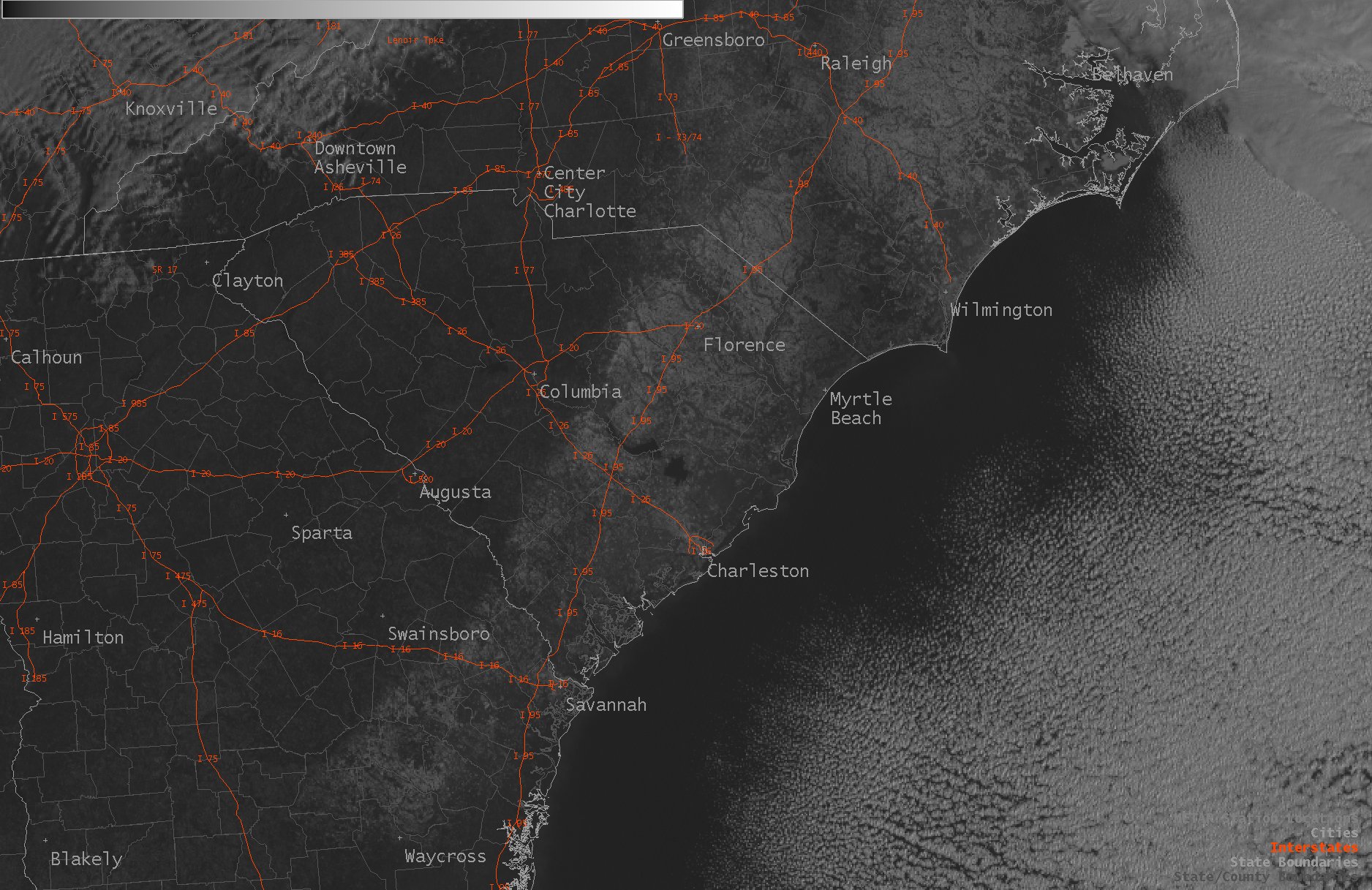
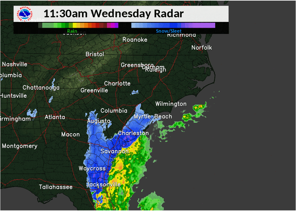
From January 2nd through 4th of 2018, a major East Coast winter storm brought hazardous winter travel conditions from the Southeast to New England. A stubborn arctic air mass persisted across much of the eastern U.S. during the first few days of the new year. Afternoon high temperatures were around 20 degrees below normal in central South Carolina and the CSRA of Georgia. An area of low pressure off the Florida coast rapidly deepened as it moves northward just offshore of the East Coast. This brought record snowfall to portions of the coastal Southeastern States.

January 4th, 2018 GOES East Loop of the Day from the National Environmental Satellite, Data, and Information Service (NESDIS)
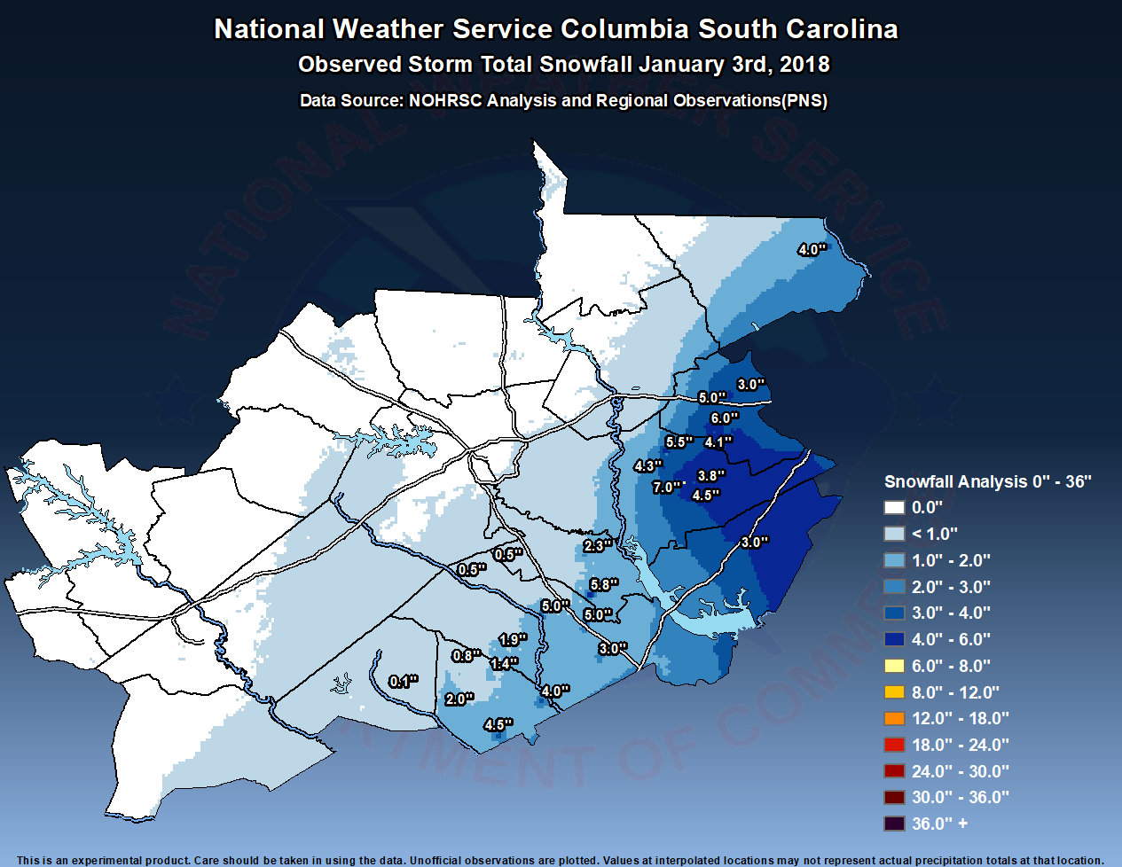
| Location | Amount | Time/Date | Lat/Lon |
| ...South Carolina... | |||
| ...Bamberg County... | |||
| Ehrhardt | 4.5 in | 0400 PM 01/03 | 33.10N/81.01W |
| 4 SW Branchville | 4.0 in | 0530 PM 01/03 | 33.21N/80.87W |
| Olar | 2.0 in | 0300 PM 01/03 | 33.18N/81.18W |
| Bamberg | 1.4 in | 0217 PM 01/03 | 33.30N/81.04W |
| Denmark | 0.8 in | 0300 PM 01/03 | 33.33N/81.14W |
| ...Barnwell County... | |||
| Barnwell | 0.1 in | 0230 PM 01/03 | 33.24N/81.37W |
| ...Calhoun County... | |||
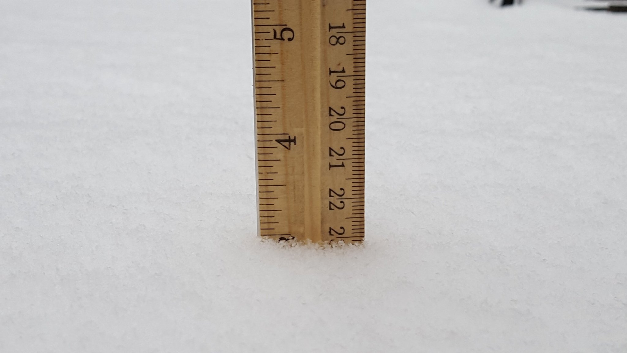
| Cameron | 5.8 in | 0400 PM 01/03 | 33.56N/80.71W |
| 3 ENE Saint Matthews | 2.3 in | 0933 PM 01/03 | 33.69N/80.73W |
| ...Chesterfield County... | |||
| 2 NW Cheraw | 4.0 in | 0947 PM 01/03 | 34.71N/79.92W |
| ...Clarendon County... | |||
| 1 NE Manning | 3.0 in | 0540 PM 01/03 | 33.70N/80.21W |
| ...Lee County... | |||
| 7 NNW Oswego | 6.0 in | 0800 PM 01/04 | 34.11N/80.31W |
| Bishopville | 5.0 in | 0534 PM 01/03 | 34.22N/80.25W |
| 8 N Bishopville | 3.0 in | 0900 PM 01/03 | 34.24N/80.24W |
| ...Orangeburg County... | |||
| Orangeburg | 5.0 in | 0732 PM 01/03 | 33.49N/80.87W |
| 6 ESE Wilkinson Heights | 5.0 in | 0446 PM 01/03 | 33.46N/80.73W |
| Bowman | 3.0 in | 0451 PM 01/03 | 33.35N/80.68W |
| Cope | 1.9 in | 0427 PM 01/03 | 33.38N/81.01W |
| 5 E Woodford | 0.5 in | 0731 PM 01/03 | 33.66N/81.03W |
| North | 0.5 in | 0700 AM 01/04 | 33.61N/81.10W |
| ...Sumter County... | |||
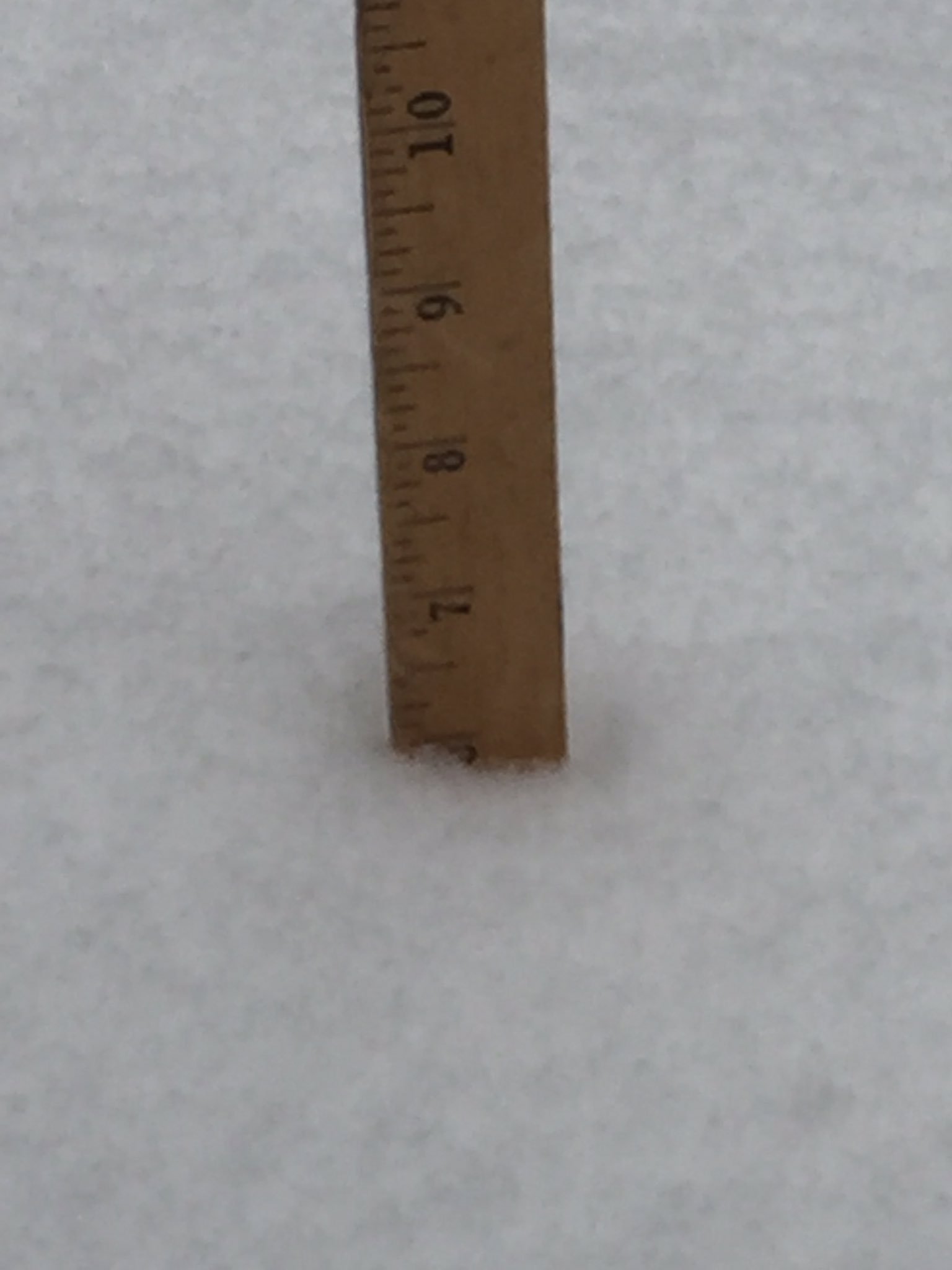
| 1 SSW Sumter | 7.0 in | 0736 PM 01/03 | 33.93N/80.40W |
| Sumter | 6.1 in | 0738 PM 01/03 | 33.95N/80.39W |
| 2 WNW Dalzell | 5.5 in | 0818 PM 01/03 | 34.03N/80.46W |
| 1 S Millwood | 4.5 in | 0530 PM 01/03 | 33.90N/80.39W |
| 2 ESE Oakland | 4.3 in | 0544 PM 01/03 | 33.98N/80.47W |
| 3 WNW Oswego | 4.1 in | 0630 PM 01/03 | 34.03N/80.33W |
| 2 SE Sumter | 3.8 in | 0600 PM 01/03 |
33.93N/80.37W |
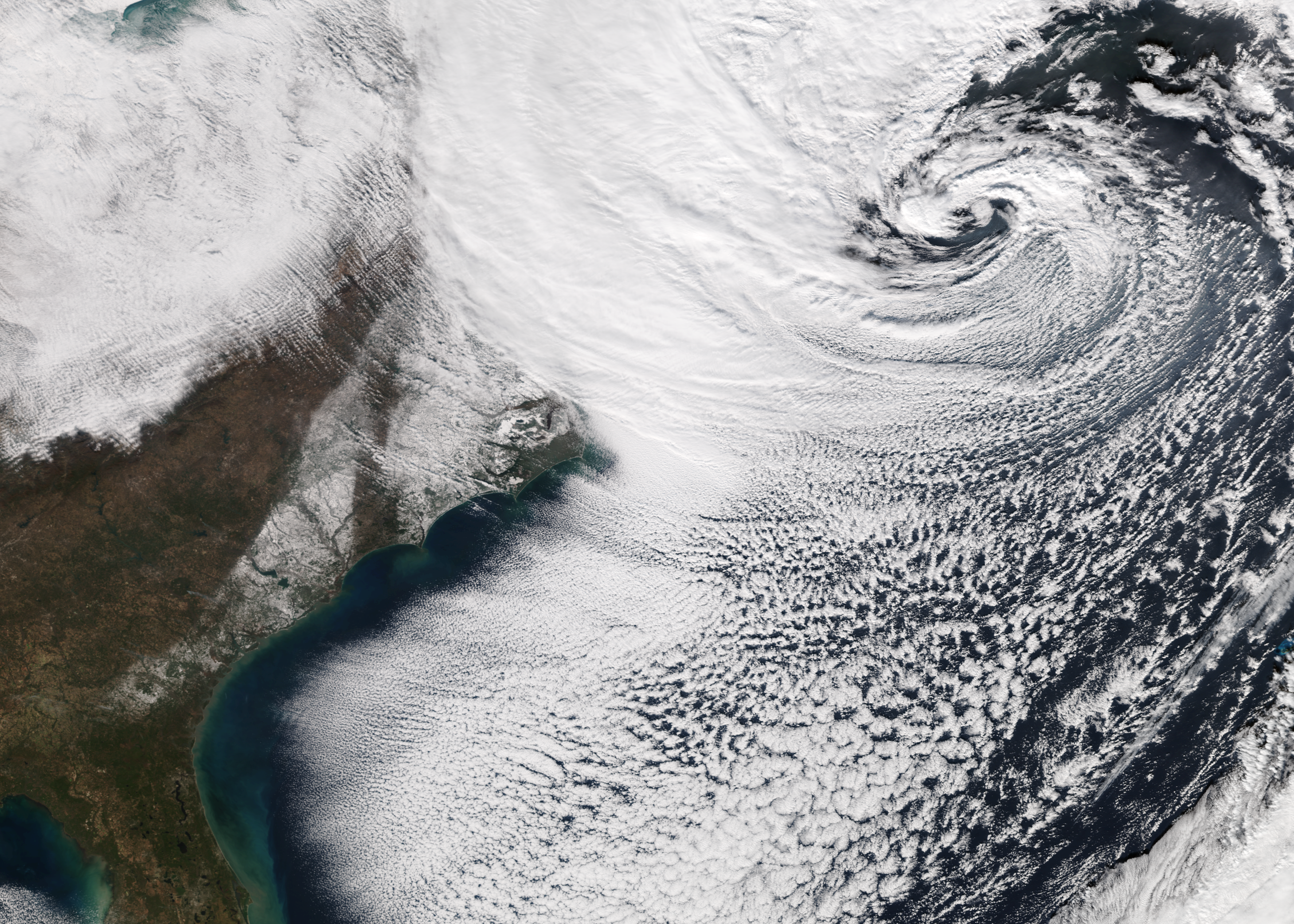
VIIRS True Color Image from 01/04/2018 Showing Snowfall stretching from southern GA to VA
|
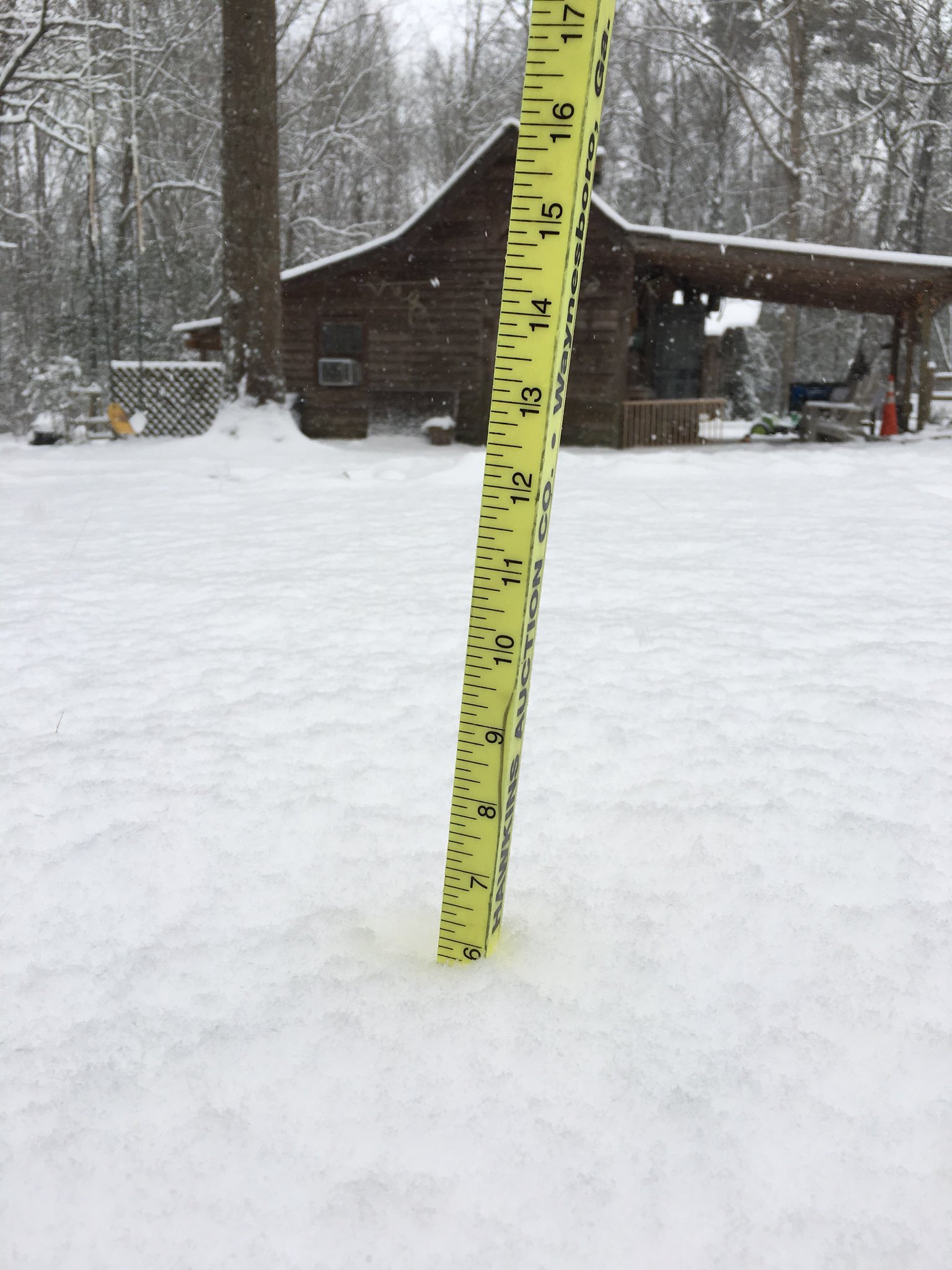
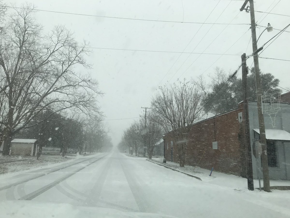
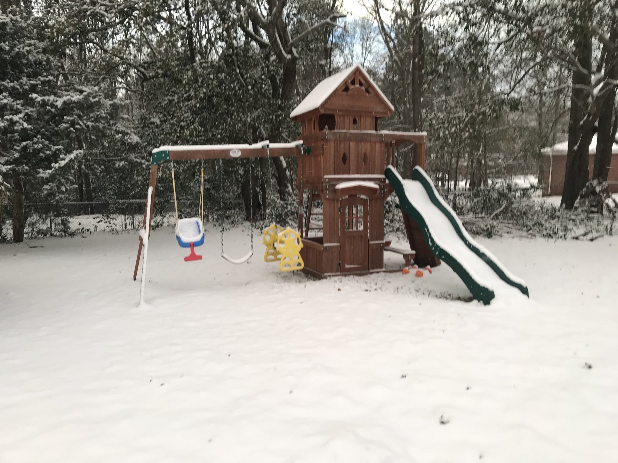
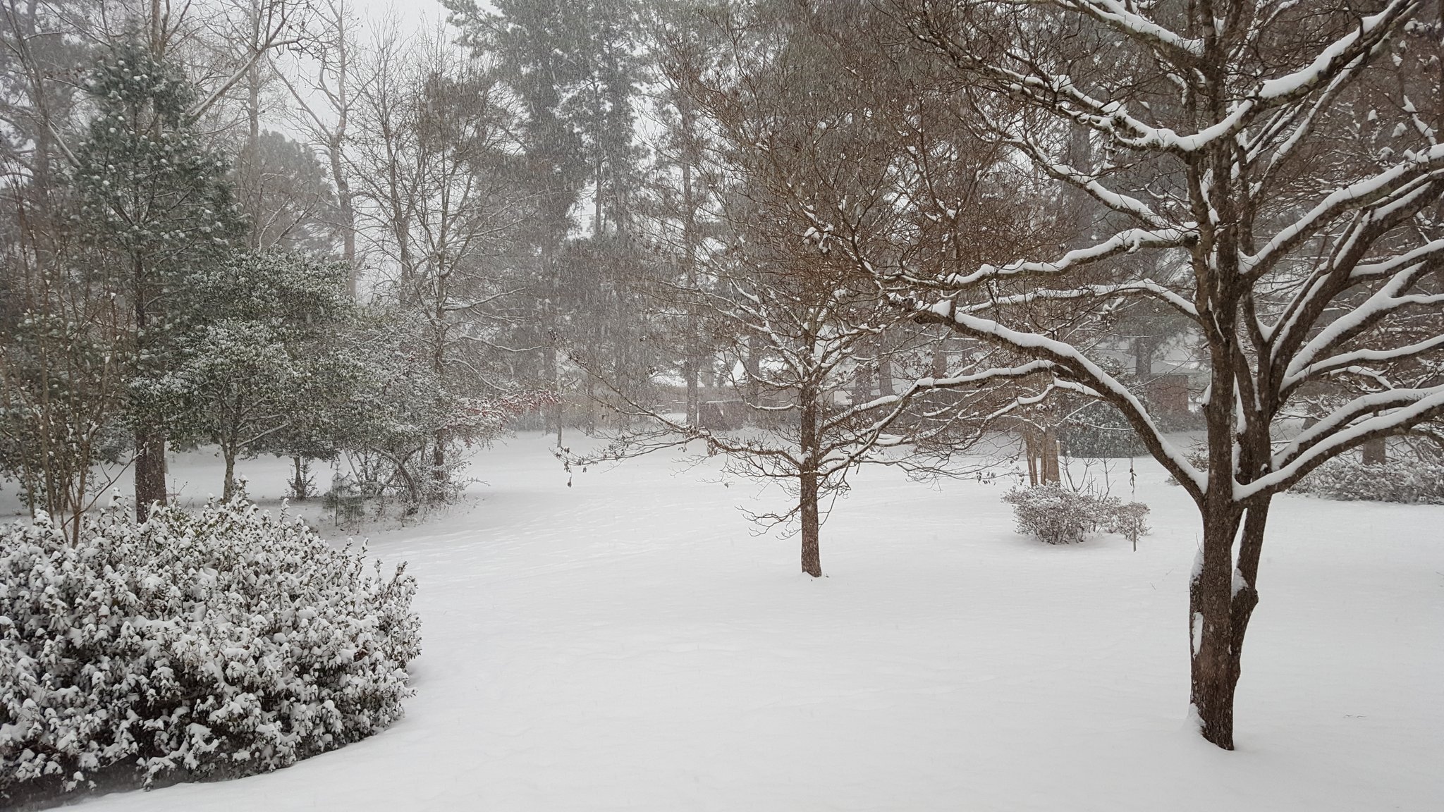
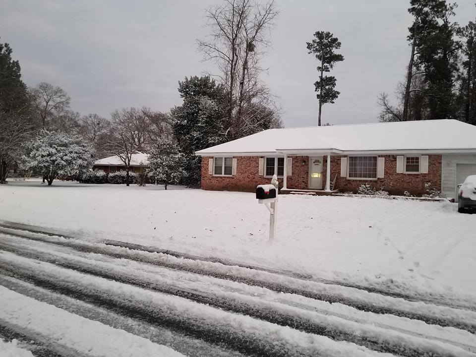
Cameron, SC - Courtesy Jen Ray |
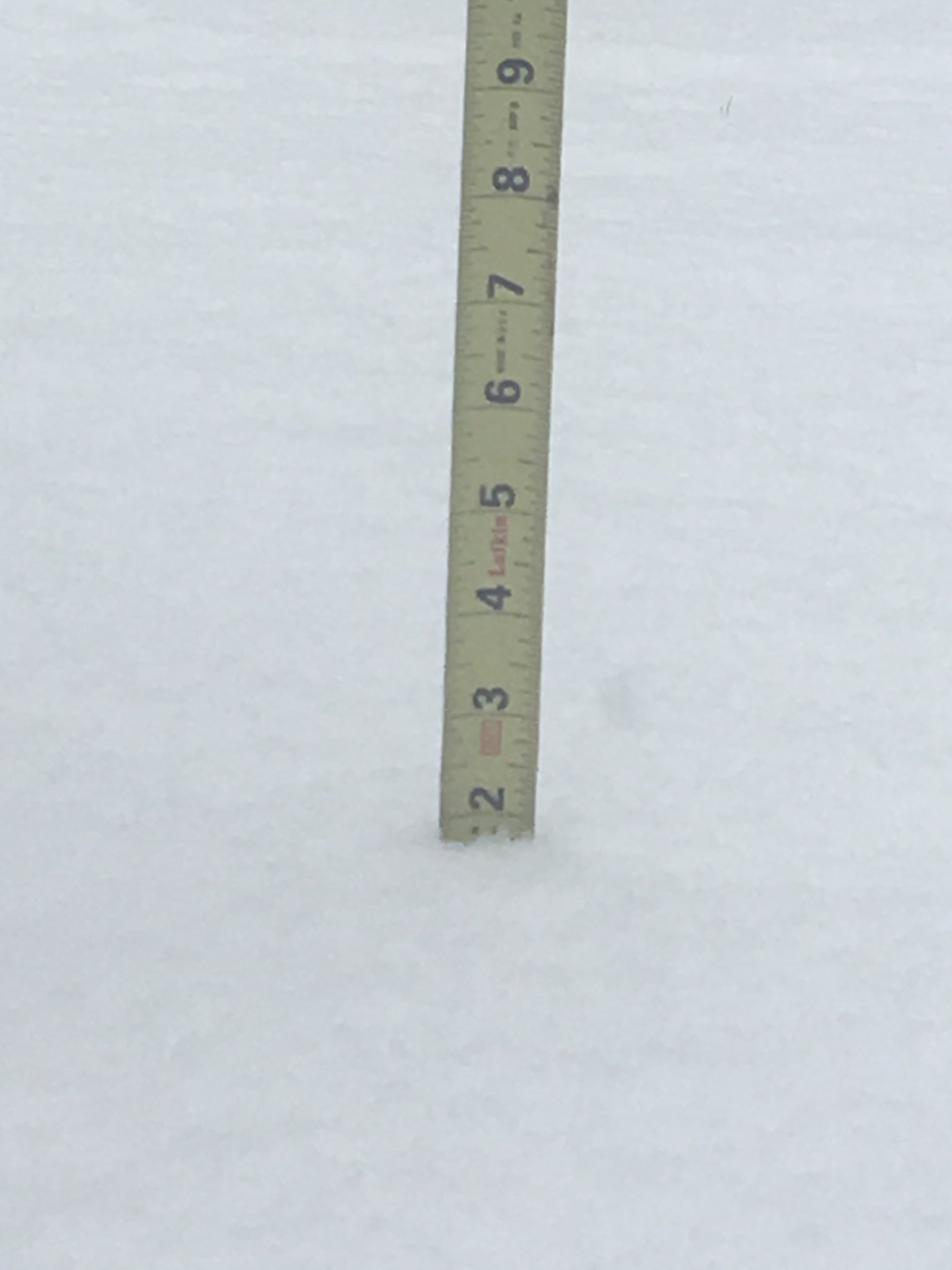
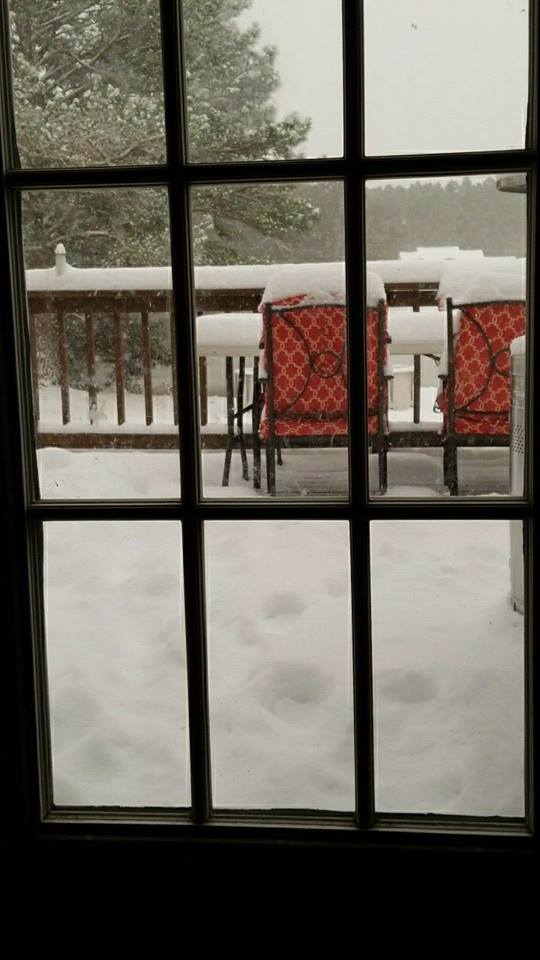
Cope, SC - Courtesy Chris Wolfe |
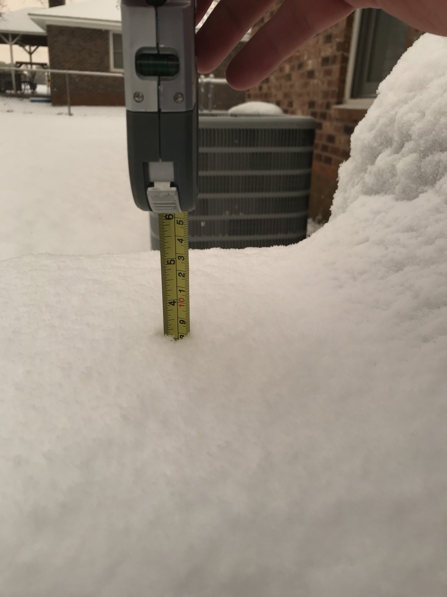
Cope, SC - Courtesy NWS Spotter |
|
Cope, SC - Courtesy NWS Spotter |
Cope, SC - Courtesy NWS Spotter |
Cope, SC - Courtesy NWS Spotter |
|
Dalzell, SC - Courtesy JW McMillan |
Dalzell, SC - Courtesy JW McMillan |
Dalzell, SC - Courtesy JW McMillan |
|
Dalzell, SC - Courtesy Caroline R |
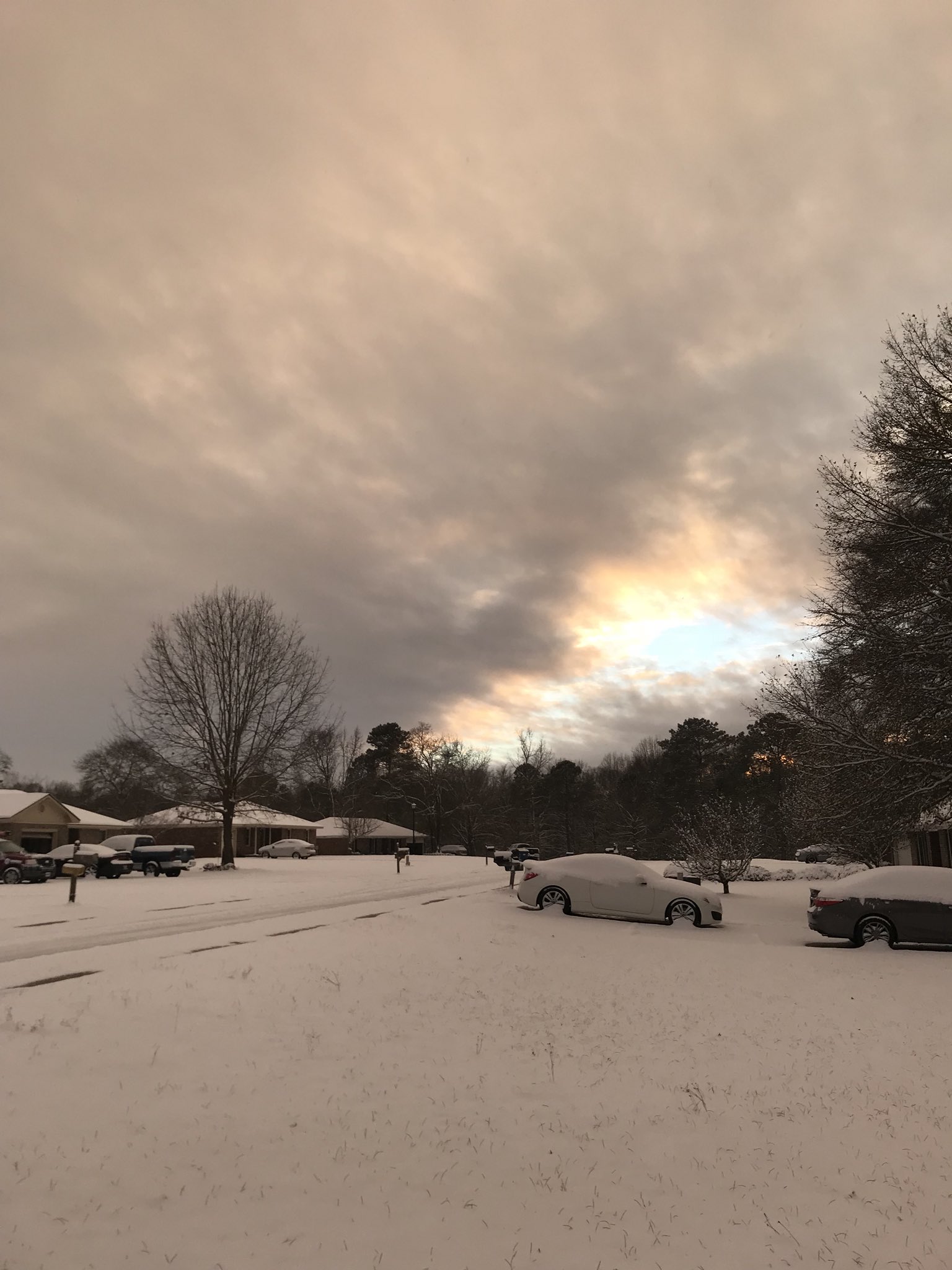
NW Sumter, SC - Courtesy Mark Morgan |
Sumter, SC - Via Social Media |
|
Sumter, SC - Via Social Media |
Millwood, SC - Courtesy Darla Harkness Moore |
Sumter, SC - Courtesy Elaine Paixao |
|
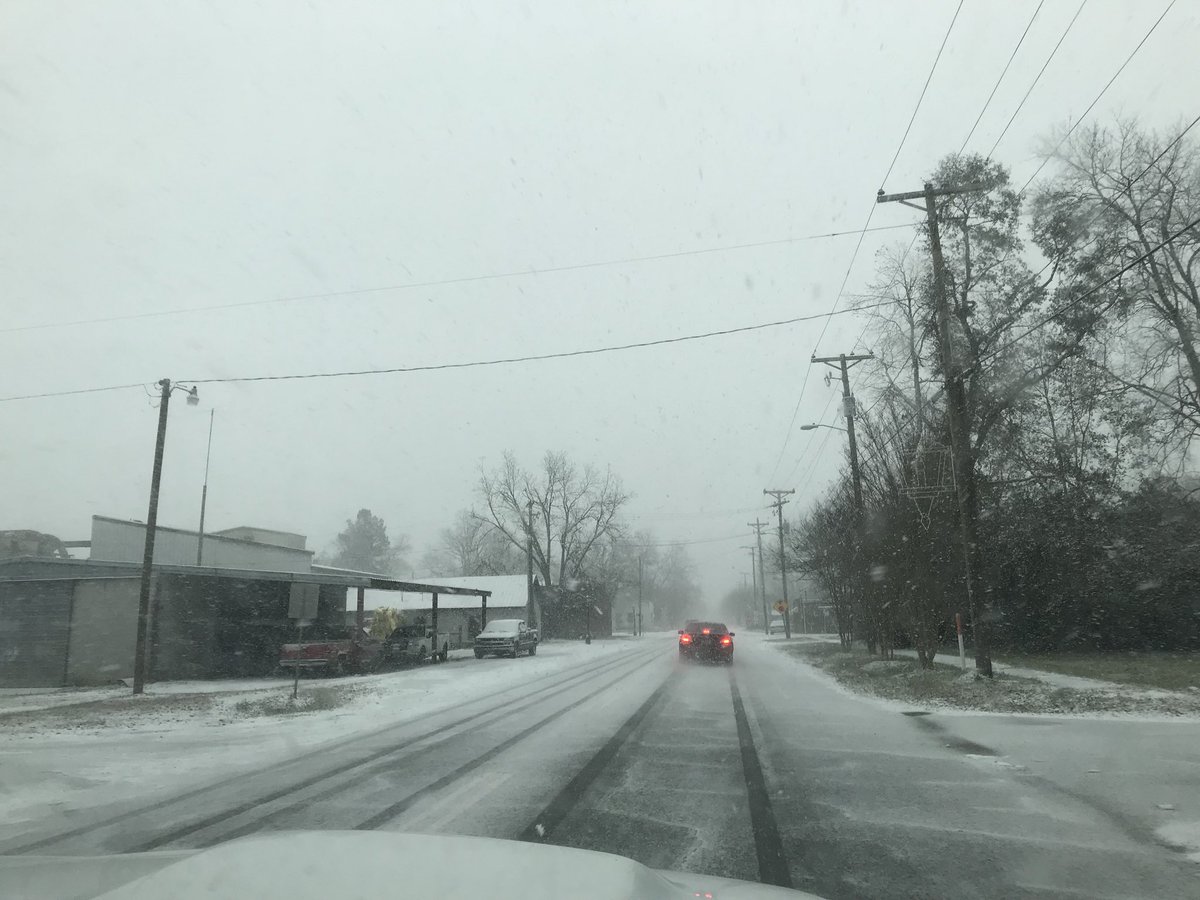
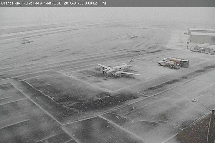
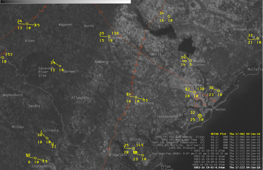
Orangeburg Aiport (SC) |
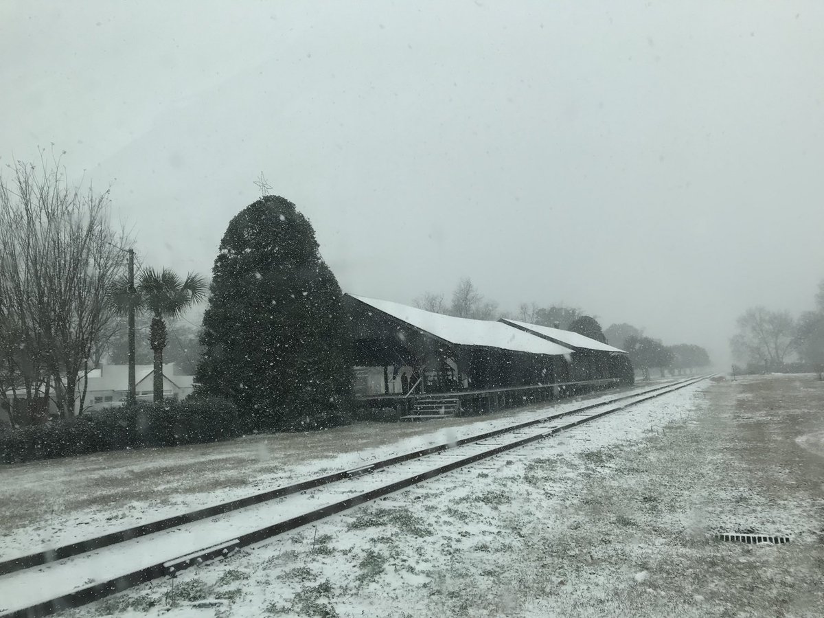
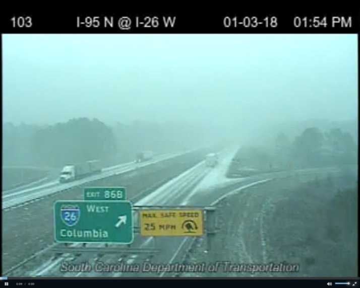
I-95 and I-26 Interchange |
MODIS Satellite Image from 1/4/18 |
|
GOES 16 Visible Image 1/4/18 |
Melting Snow from GOES 16 on 1/4/18 |
VIIRS True Color Image from 1/4/18 |