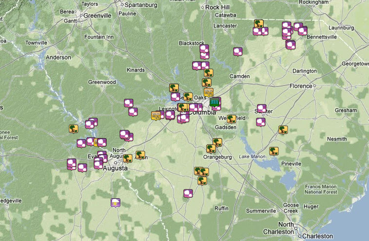
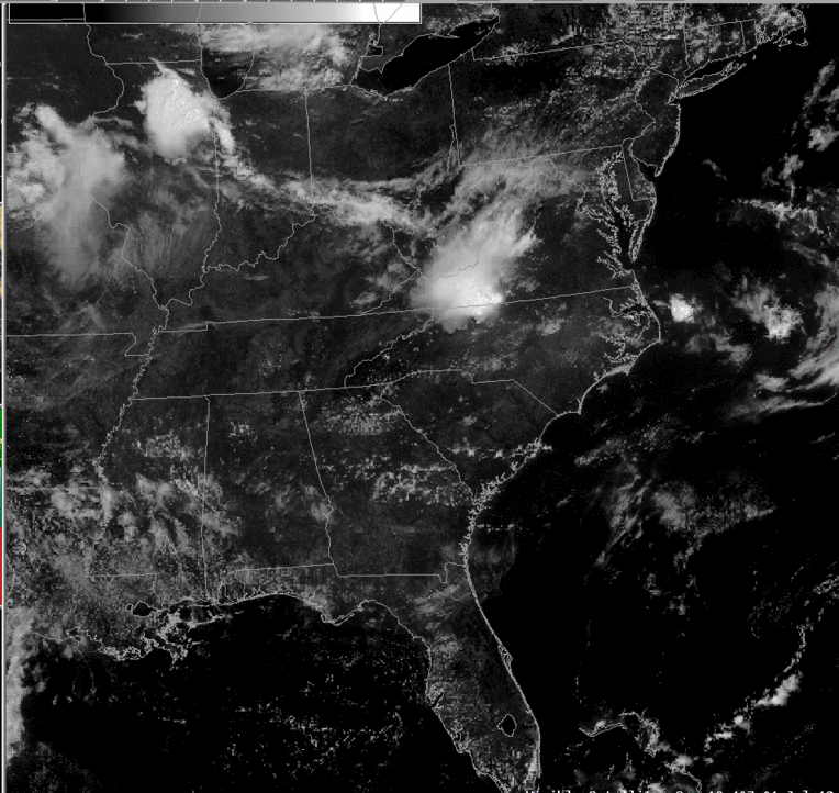
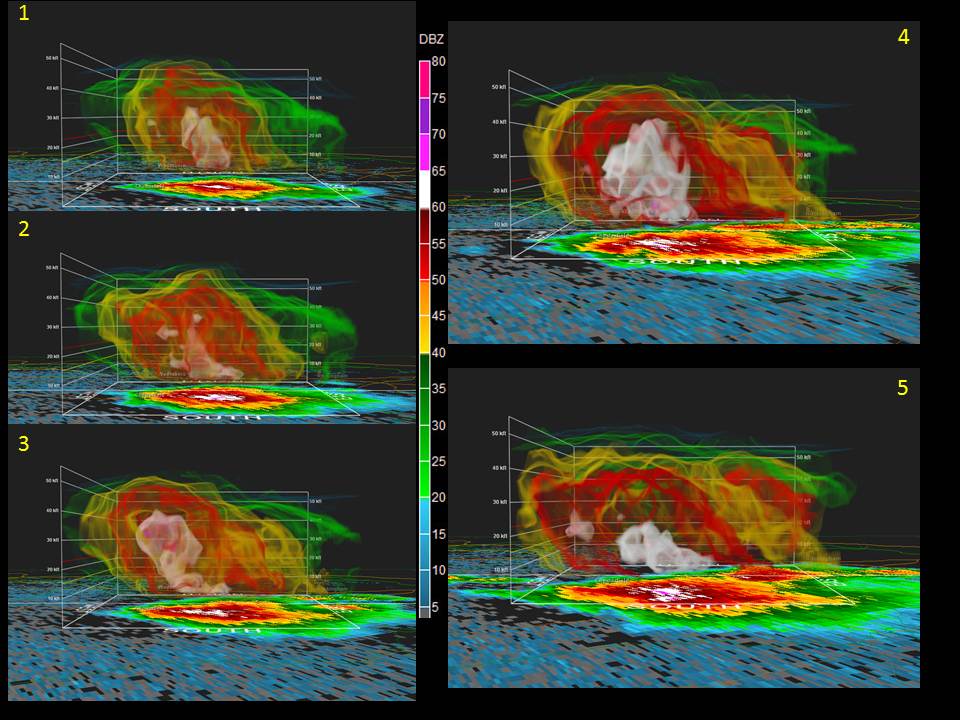
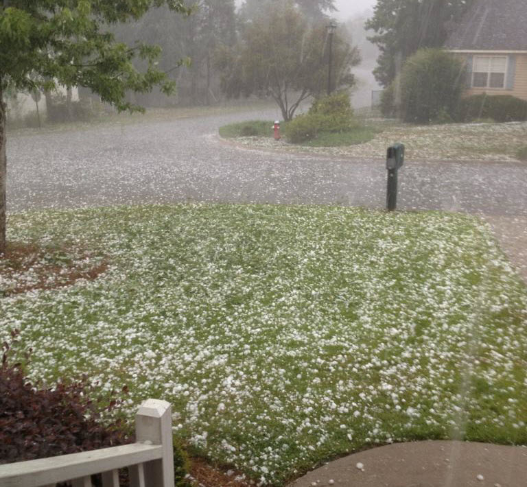
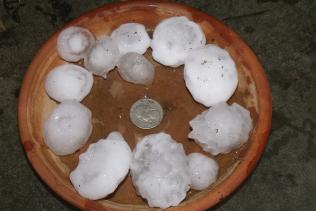
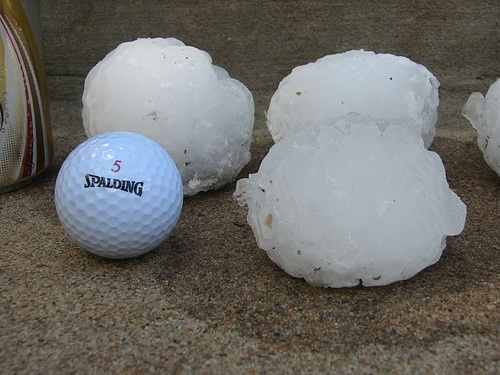
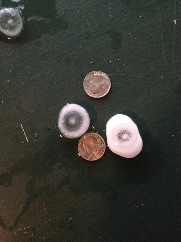
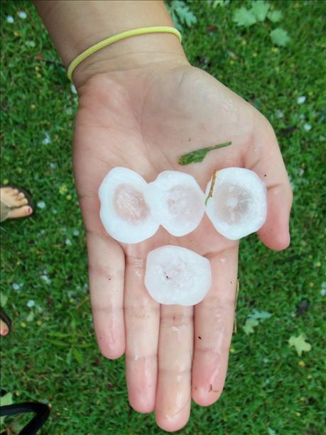
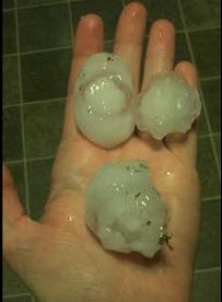
National Weather Service United States Department of Commerce

Slight Risk for Excessive Rainfall and Severe Thunderstorms Thursday

Additional rounds of thunderstorms are expected Thursday and Thursday night across Oklahoma and north Texas, with risks for both large hail and flash flooding. Strong winds may accompany any storms from east Texas northeast through the lower Great Lakes. Read More >


storm reports


- Map displaying storm reports. Click the image to view an interactive map of the reports.

 
visible imagery loop

- Visible Satellite loop during the afternoon hours of July 1, 2012

 
visible imagery loop

- Chronological sequence of radar images of a severe thunderstorm over northeastern Chesterfield County, SC around 2:30 pm. Note how the core of higher reflectivity values (60+ dbz are white) grows to over 40,000 ft by frame 4 and then descends to the surface in image 5.


Photos of the Severe Weather across the Midlands and Central Savannah River Area (click for a larger image)