A late-season winter storm continues to bring heavy snow, significant sleet, and disruptive icing to the Upper Midwest and western Great Lakes into the morning; and will be followed by another storm. Severe thunderstorms continue across the Midwest to the lower Great Lakes through tonight, before bringing a round of freezing rain and sleet Friday morning across northern New England. Read More >
Corpus Christi, TX
Weather Forecast Office

|
|
|
| GOES-East Visible (Red - Band 2) Loop | GOES-East Infrared (Clean Longwave IR - Band 13) Loop |
|---|---|
 |
 |
| Matagorda Bay Inlet | Port Aransas | SPI Inlet | Buoy 42020 |
|---|---|---|---|
Significant Waveheight Forecast through 144 hours (You can advance images with keyboard arrows.)
| Port Aransas Ferry | South Padre Island |
|---|---|
 |
|
| North Padre Island | |
 |
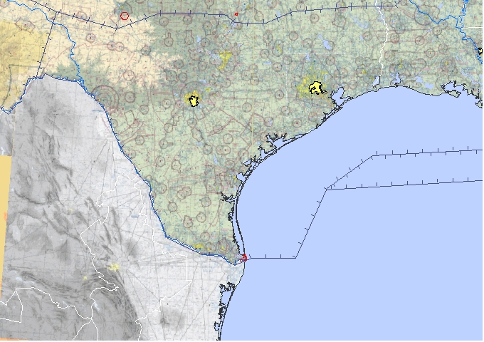
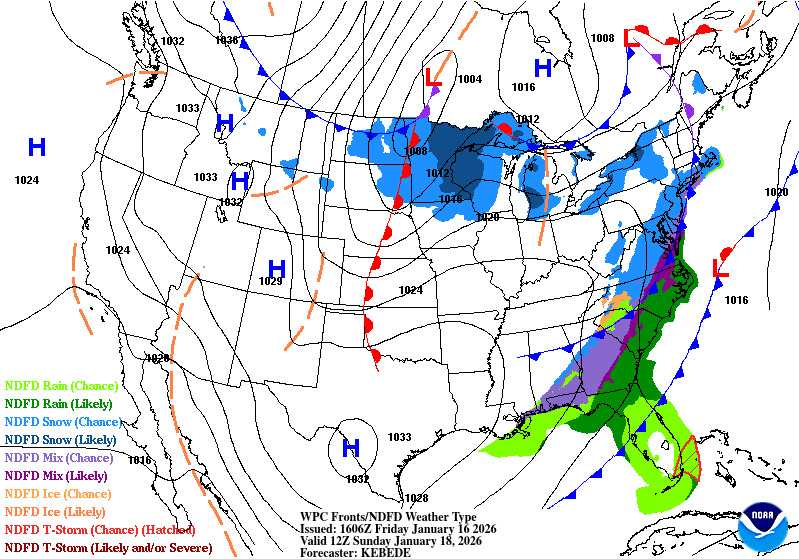
| Latest Surface Analysis | |
|---|---|
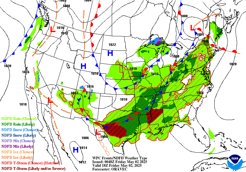
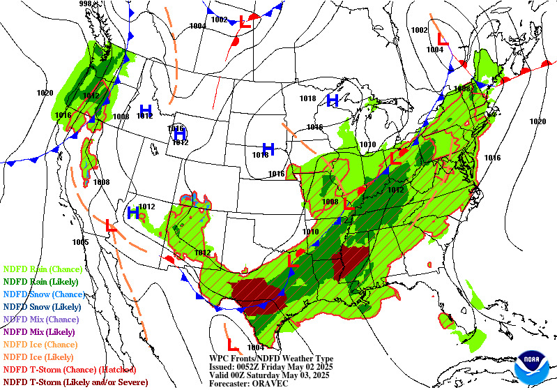
 Click the forecast images below for the full-size version. Click the forecast images below for the full-size version. |
|
| 12-Hour Surface Forecast | 18-Hour Surface Forecast |
 |
 |
| 24-Hour Surface Forecast | 30-Hour Surface Forecast |
 |
 |
| 36-Hour Surface Forecast | 48-Hour Surface Forecast |
 |
 |
| 60-Hour Surface Forecast | Day 3 Surface Forecast |
 |
 |
CURRENT HAZARDS
National Hazards Graphical
Local Storm Reports
Submit a Storm Report
Daily Video Briefing
CURRENT CONDITIONS
Detailed Observations Map
Hourly Weather Roundup
Local Satellite Page
Rivers and Lakes
GOES-East Satellite
MADIS Display
5-minute Observations
FORECASTS
Activity Planner
Aviation
Fire
Marine
Tides
National Outlooks
Extended Outlooks
NWPS
Graphical
TROPICAL
Local Tropical Page
Storm Surge Maps
English Hurricane Guide
Spanish Hurricane Guide
Past Tropical Cyclones
Storm Surge Threat
EDUCATION
Basic Weather Education
Online Weather School
Product Guide
US Dept of Commerce
National Oceanic and Atmospheric Administration
National Weather Service
Corpus Christi, TX
426 Pinson Dr
Corpus Christi, TX 78406
(361) 289-0959
Comments? Questions? Please Contact Us.