A heat wave over the Southwest will intensify this week, peaking and expanding into the Intermountain West and northern High Plains this weekend. Severe thunderstorms and heavy rainfall are expected over parts of the Upper Midwest to mid-Mississippi Valley today. Critical to extremely critical fire weather conditions from the Northwest and the northern Great Basin on Saturday and Sunday. Read More >
Corpus Christi, TX
Weather Forecast Office
 |
 |
 |
 |
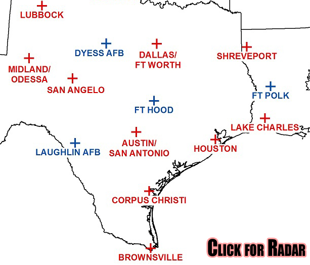
| Southern Plains Radar Loop |
|---|
 |
| Area Radars |
 |
|
|
|
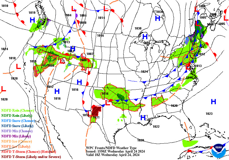
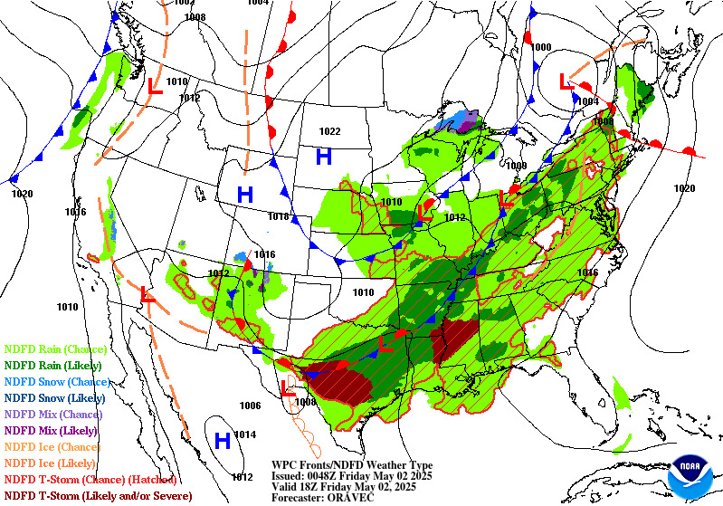
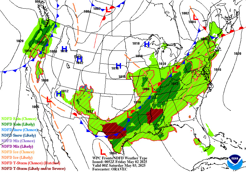
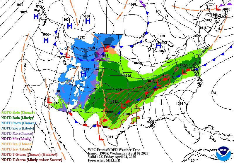
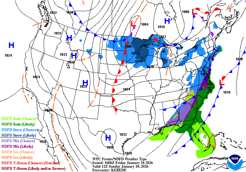
| 6-Hour Surface Forecast | 12-Hour Surface Forecast |
|---|---|
 |
 |
| 18-Hour Surface Forecast | 24-Hour Surface Forecast |
 |
 |
| 30-Hour Surface Forecast | 36-Hour Surface Forecast |
 |
 |
| 48-Hour Surface Forecast | 60-Hour Surface Forecast |
 |
 |
CURRENT HAZARDS
National Hazards Graphical
Local Storm Reports
Submit a Storm Report
Daily Video Briefing
CURRENT CONDITIONS
Detailed Observations Map
Hourly Weather Roundup
Local Satellite Page
Rivers and Lakes
GOES-East Satellite
MADIS Display
5-minute Observations
FORECASTS
Activity Planner
Aviation
Fire
Marine
Tides
National Outlooks
Extended Outlooks
NWPS
Graphical
TROPICAL
Local Tropical Page
Storm Surge Maps
English Hurricane Guide
Spanish Hurricane Guide
Past Tropical Cyclones
Storm Surge Threat
EDUCATION
Basic Weather Education
Online Weather School
Product Guide
US Dept of Commerce
National Oceanic and Atmospheric Administration
National Weather Service
Corpus Christi, TX
426 Pinson Dr
Corpus Christi, TX 78406
(361) 289-0959
Comments? Questions? Please Contact Us.