
A heat wave over the Southwest will intensify this week, peaking and expanding into the Intermountain West and northern High Plains this weekend. Critical to extremely critical fire weather conditions are forecast from the Northwest and the northern Great Basin this weekend. Particularly Dangerous Situation Red Flag Warnings have been issued. Read More >
Corpus Christi, TX
Weather Forecast Office
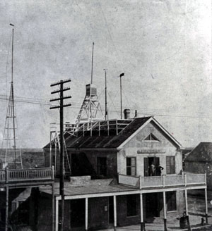
| NWS Corpus Christi office - Feb 1, 1887 |
 John Metz / Meteorologist In Charge Cory Mottice / Warning Coordination Meteorologist Nicholas Carr / Science & Operations Officer Cheryl Sutherlan / Administrative Support Assistant Matthew Garcia / Information Technology Officer Rich Martinez / Electronic Systems Analyst Vacant / Electronic Technician Brian Ellis / Electronic Technician Vacant Penny Harness Liz Sommerville Juan Peña Eric Forinash Tawnya Evans Alina Nieves Brian Field Nick Price Kirsten Snodgrass Angel Enriquez
CURRENT HAZARDS
National Hazards Graphical
Local Storm Reports
Submit a Storm Report
Daily Video Briefing
CURRENT CONDITIONS
Detailed Observations Map
Hourly Weather Roundup
Local Satellite Page
Rivers and Lakes
GOES-East Satellite
MADIS Display
5-minute Observations
FORECASTS
Activity Planner
Aviation
Fire
Marine
Tides
National Outlooks
Extended Outlooks
NWPS
Graphical
TROPICAL
Local Tropical Page
Storm Surge Maps
English Hurricane Guide
Spanish Hurricane Guide
Past Tropical Cyclones
Storm Surge Threat
EDUCATION
Product Guide
Basic Weather Education
Online Weather School
US Dept of Commerce
National Oceanic and Atmospheric Administration
National Weather Service
Corpus Christi, TX
426 Pinson Dr
Corpus Christi, TX 78406
(361) 289-0959
Comments? Questions? Please Contact Us.

