| Overview | Radar | Photos | SPC Products | Meteorology |
Slow-moving storms began over Saginaw Bay in the early afternoon. These storms produced heavy rain and sporadic wind damage across the Saginaw Valley. The storms began to congeal as a stronger cell developed over Genesee County causing several reports of wind damage across Flint and its suburbs, as well as across northern Oakland County. The outflow then raced ahead of the storms as they moved south, causing a general weakening trend later in the evening but with isolated wind damage reported.
.gif)
| Radar loop courtesy of Iowa Environmental Mesonet (IEM). |
|
|
| Image courtesy of Iowa Environmental Mesonet (IEM). Yellow boxes are severe thunderstorm warnings, red boxes are tornado warnings, green boxes are flash flood warnings, and purple boxes are special marine warnings. Local Storm Reports (LSR) are also shown plotted on the map. |
|
|
Text Summary of Local Storm Reports
Back to top
 |
 |
 |
|
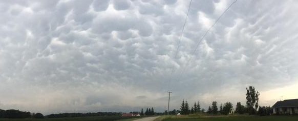
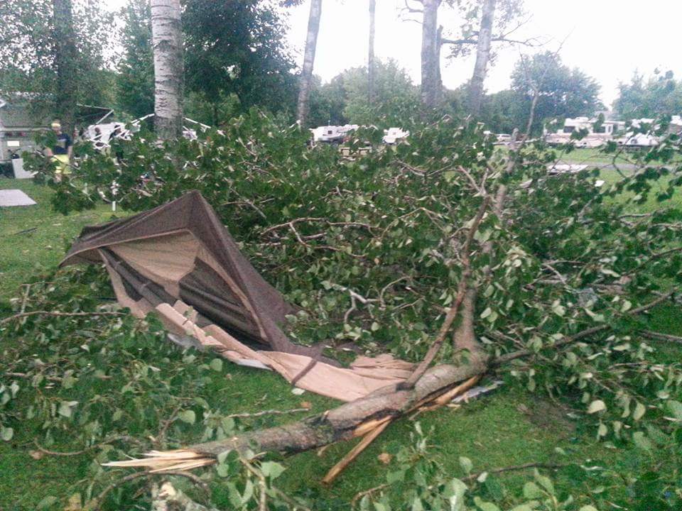
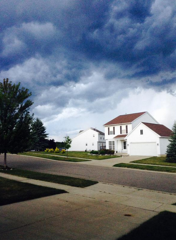
| Capac, MI (courtesy of d_cornish) | Vassar, MI (courtesy of Ben Redmon) | Vassar, MI (courtesy of Billie Abram) | |
 |
 |
 |
 |
| Kingston, MI (courtesy of EasternMIWX) | Orion Township, MI (courtesy of Michelle Arquette-Palermo) | Dexter, MI (courtesy of n_koski) | Peck, MI (courtesy of Tanner McCanham) |
Back to top
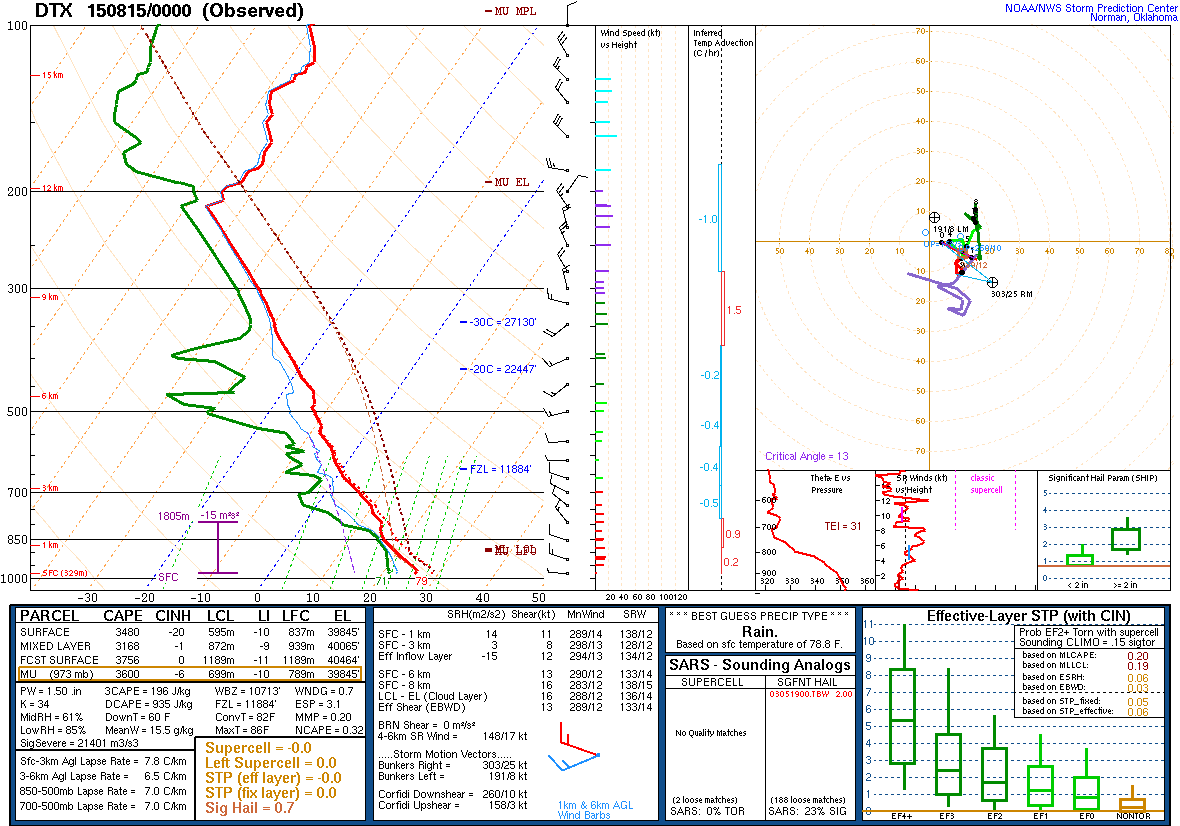
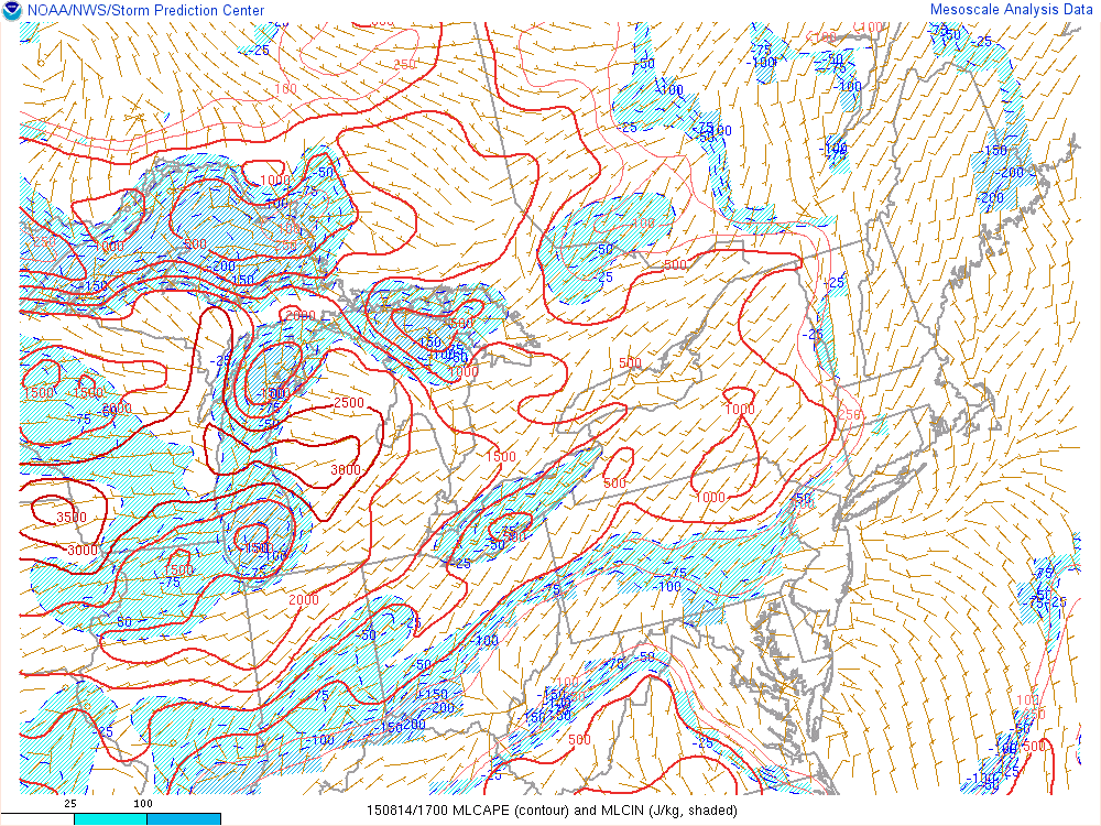
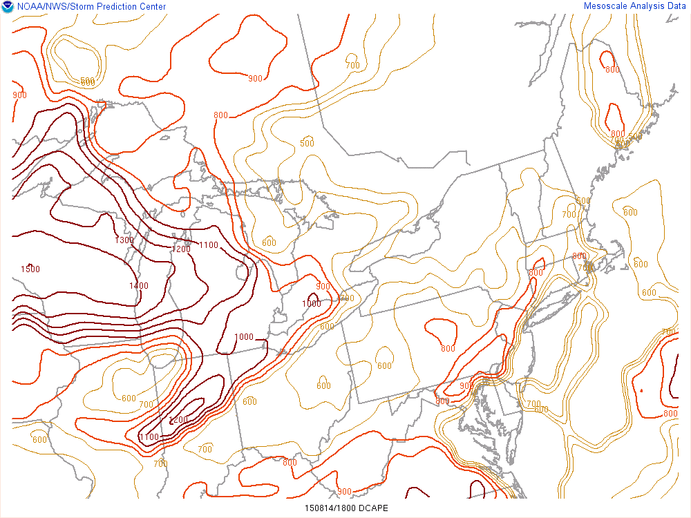
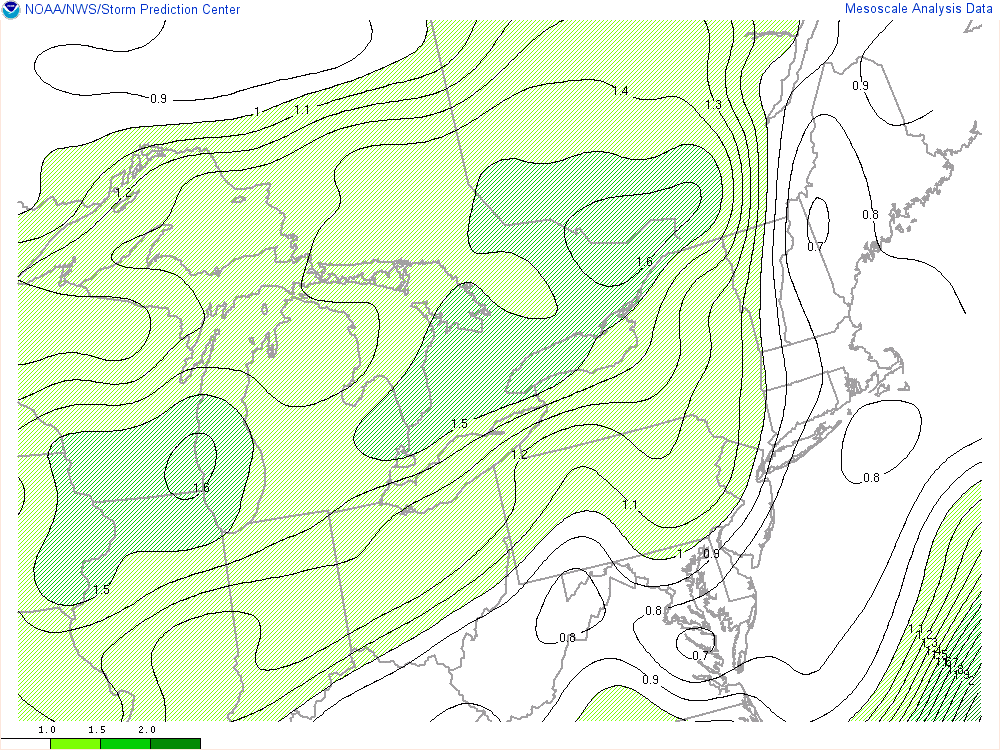
The environment over the Great Lakes was characterized by weak tropospheric flow and ample instability, as depicted on the 00Z DTX sounding (Fig. 1). Storms formed over the northeastern Lower Peninsula early in the afternoon with additional southward development along its outflows. Storms continued developing southward across Southeast Michigan from from the early afternoon into the evening. These storms moved into an environment characterized by 1500-3000 J/kg of MLCAPE with little to no CIN (Fig. 2). Deep-layer shear was very weak, which favored pulse-type storms (Fig. 3). Downdraft CAPE was high at around 1000 J/kg (Fig. 4) which favored gusty winds as the main threat. Precipitable water values were relatively high at around 1.5" (Fig. 5) which, along with the slow storm-motion, led to locally heavy rainfall.
Click images for larger version.
 |
 |
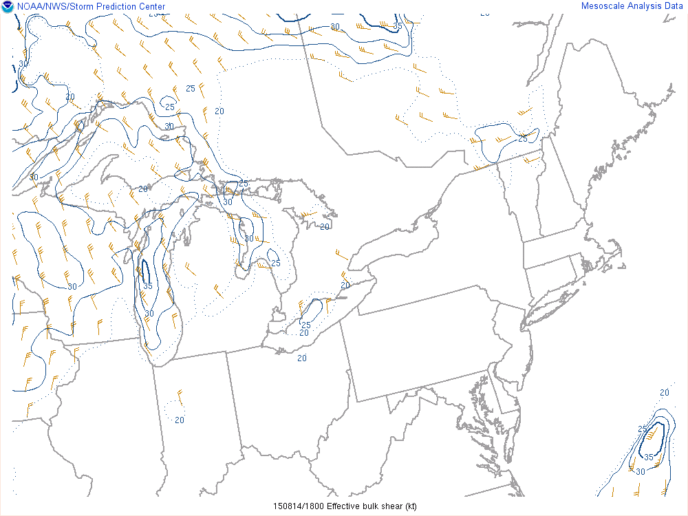 |
| Fig. 1. 0000 UTC 15 Aug (8 pm 14 Aug) KDTX sounding. | Fig. 2. RAP 1-h forecast of mixed-layer CAPE (J/kg) valid 1700 UTC (1 pm EDT) | Fig. 3. RAP 1-h forecast of effective bulk shear (kt) valid 1800 UTC (2 pm EDT). |
 |
 |
|
| Fig. 4. RAP 1-h forecast of downdraft CAPE (J/kg) valid 1800 UTC (2 pm EDT). | Fig. 5. RAP 1-h forecast of precipitable water (in) valid 1800 UTC (2 pm EDT). |
Back to top