| Overview | Radar |
A strong low pressure system tracked from the lower Ohio Valley into southern Ontario January 9th and 10th. Moisture was transported northward along with this system, resulting in widespread precipitation across Southeast Michigan. Temperatures were quite warm in advance of this system on the 9th, with high temperatures reaching the 40s to near 50. Much of the precipitation fell as rain initially, with only a gradual changeover to snow in the early morning hours of the 10th for the Saginaw, Flint, and Northern Thumb regions. The remainder of Southeast Michigan changed to snow after sunrise on the 10th, with light snow accumulations of 1 to 3 inches common. Temperatures fell during the day on the 10th as colder air moved in on the back side of the low, which hampered snow removal efforts, leading to slippery roads across the area. Winds also increased with gusts of 40-45 mph.
Back to top
Radar loop
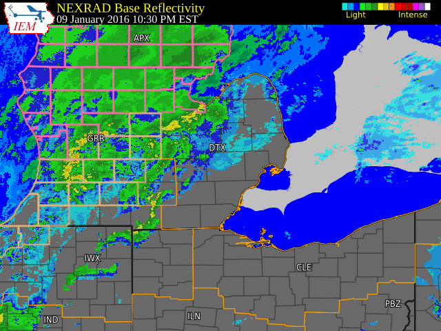 |
| Radar loop courtesy of Iowa Environmental Mesonet (IEM). |
|
|
STORM TOTAL SNOW REPORTS

LOCATION                  SNOWFALL     DURATION
                          (INCHES)      (HOURS)        LAT       LON

...BAY COUNTY...
   BENTLEY                 E   3.0           10     43.95N    84.13W

...GENESEE COUNTY...
   FLINT                   M   3.8            8     43.02N    83.69W

...HURON COUNTY...
   5 NNW FILION            E   1.5            9     43.96N    83.04W

...LAPEER COUNTY...
   2 W LAPEER              E   3.0            7     43.05N    83.36W

...LIVINGSTON COUNTY...
   1 NE HOWELL             M   2.4            8     42.62N    83.92W

...MACOMB COUNTY...
   MOUNT CLEMENS           M   1.3            7     42.60N    82.88W

...MIDLAND COUNTY...
   COLEMAN                 E   2.0           10     43.76N    84.59W
   MIDLAND                 M   2.5            6     43.62N    84.23W

...OAKLAND COUNTY...
   2 NNE WIXOM             M   2.1            7     42.55N    83.52W
   4 E WHITE LAKE          M   2.3            8     42.65N    83.43W
   2 E CLARKSTON           M   2.5            7     42.74N    83.38W
   AUBURN HILLS            M   3.0            7     42.67N    83.24W

...SAGINAW COUNTY...
   HEMLOCK                 M   1.8            8     43.42N    84.23W
   SAGINAW                 M   2.8            6     43.42N    83.95W

...SANILAC COUNTY...
   2 W PECK                M   2.5            7     43.26N    82.86W

...SHIAWASSEE COUNTY...
   3 SW PERRY              M   3.2            6     42.79N    84.27W

...ST. CLAIR COUNTY...
   YALE                    E   1.0            6     43.13N    82.80W

...TUSCOLA COUNTY...
   CARO                    E   3.0            7     43.49N    83.40W

...WASHTENAW COUNTY...
   ANN ARBOR               M   2.6            7     42.28N    83.73W

...WAYNE COUNTY...
   GARDEN CITY             M   2.4            4     42.33N    83.33W
   ROMULUS                 M   2.5            8     42.22N    83.37W
   WYANDOTTE               M   3.0            8     42.21N    83.16W


M = MEASURED
E = ESTIMATED
PEAK WIND GUSTS

FLINT                            47 MPH     103 PM...
PONTIAC                          46 MPH     110 PM...
PORT HOPE                        45 MPH     142 PM...
YPSILANTI                        44 MPH     153 PM...
DETROIT METRO AIRPORT            44 MPH     1039 AM...
ANN ARBOR                        43 MPH     1245 PM...
ADRIAN                           43 MPH     222 PM...
SAGINAW                          40 MPH     1058 AM...
DETROIT CITY AIRPORT             39 MPH     248 PM...
Back to top

