Overview
Scattered thunderstorms initially developed over Saginaw Bay and tracked through the Thumb region, becoming locally strong to severe before becoming a line of strong to severe thunderstorms as they tracked through the northern Detroit metro and I-69 corridor during the evening hours. These thunderstorms formed along and ahead of a cold front, with moist and and relatively unstable air out ahead of the front. The thunderstorms produced reports of wind damage along with reports of power outages in addition to heavy rainfall and numerous lightning strikes.
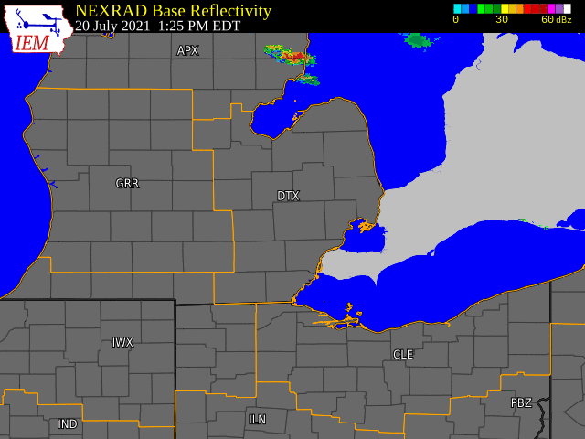
Radar Loop

Summary of Storm Reports
PRELIMINARY LOCAL STORM REPORT...SUMMARY
NATIONAL WEATHER SERVICE DETROIT/PONTIAC MI
913 PM EDT TUE JUL 20 2021
..TIME... ...EVENT... ...CITY LOCATION... ...LAT.LON...
..DATE... ....MAG.... ..COUNTY LOCATION..ST.. ...SOURCE....
..REMARKS..
0540 PM TSTM WND DMG ATTICA 43.03N 83.16W
07/20/2021 LAPEER MI 911 CALL CENTER
TREES AND WIRES REPORTED DOWN, MOST NUMEROUS IN ATTICA
TOWNSHIP.
0623 PM TSTM WND GST OXFORD 42.82N 83.25W
07/20/2021 E60.00 MPH OAKLAND MI AMATEUR RADIO
A TRAINED SPOTTER ESTIMATED 60 MPH WINDS AND REPORTED PEA
SIZE HAIL.
0650 PM TSTM WND DMG AUBURN HILLS 42.67N 83.24W
07/20/2021 OAKLAND MI LAW ENFORCEMENT
TREES REPORTED DOWN IN AUBURN HILLS, AS WELL AS SEVERAL
OTHER CITIES IN OAKLAND COUNTY.
0800 PM TSTM WND DMG 4 NW CANTON 42.35N 83.53W
07/20/2021 WAYNE MI TRAINED SPOTTER
MULTIPLE TREES AND LARGE TREE LIMBS REPORTED DOWN.
0815 PM TSTM WND DMG CHELSEA 42.31N 84.02W
07/20/2021 WASHTENAW MI PUBLIC
LARGE TREE LIMB REPORTED DOWN.
0827 PM HAIL 1 SSW CHELSEA 42.29N 84.03W
07/20/2021 E0.75 INCH WASHTENAW MI EMERGENCY MNGR


