| Overview | Radar | SPC Products |
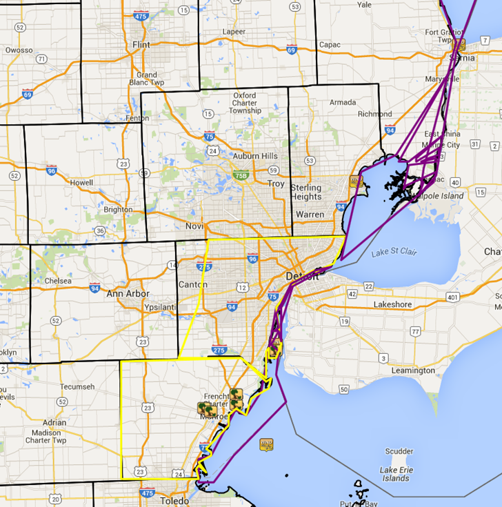
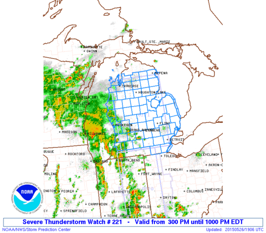
Showers and thunderstorms developed in a seasonably warm and moist airmass over Southeast Michigan during the afternoon of May 26. As extensive morning cloud cover thinned, pockets of heating allowed marginally unstable conditions to develop. Storms formed ahead of a shortwave trough racing northeastward across the Upper Midwest. The marginal instability did not allow for much vertical growth of storms which limited the overall severe weather threat, but just enough wind shear existed for a couple of fairly organized storms to be able to produce strong to severe wind gusts. A severe thunderstorm watch was issued at 3 pm for Lower Michigan to cover this threat. Severe thunderstorm warnings were issued for Monroe and Wayne counties, with a few wind damage reports across those counties.
Back to top
 |
| Radar loop courtesy of Iowa Environmental Mesonet (IEM). Yellow boxes are severe thunderstorm warnings and green boxes are special marine warnings. |
|
|
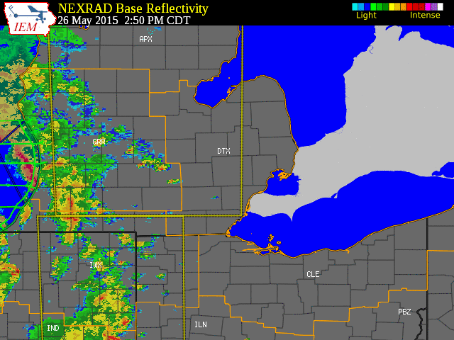
| Image courtesy of Iowa Environmental Mesonet (IEM). Yellow boxes are severe thunderstorm warnings, red box is a tornado warning, and purple boxes are special marine warnings. Local Storm Reports (LSR) are also shown plotted on the map. |
|
|
Text Listing of Local Storm Reports

Back to top
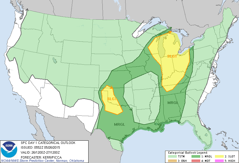
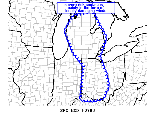
SPC Products (More details can be found by clicking on the images)