Thunderstorms with severe wind gusts and hail will be possible today across parts of the central Plains, and from the Missouri Valley into the upper Mississippi Valley. Heavy rain associated with the thunderstorms may also produce flash/urban flooding. Critical fire weather conditions expected in the Great Basin and interior Northwest. Dangerous heat continues across the Southwest and Southeast. Read More >
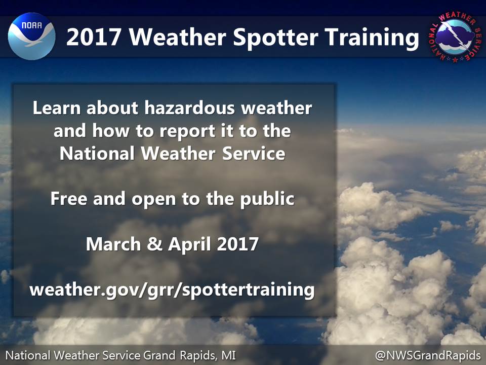
This spring's weather spotter training schedule has been posted: weather.gov/grr/spottertraining
 |
Media use of NWS Web News Stories is encouraged! |
|