
Dry and windy conditions will bring widespread fire weather concerns to the northern/central Plains and portions of the Southwest into the southern Plains. Severe thunderstorms with large hail and damaging wind gusts are possible over the central Plains today into this weekend. Rain and high elevation snow is expected over parts of the Cascades and Northern Intermountain Region through Saturday. Read More >
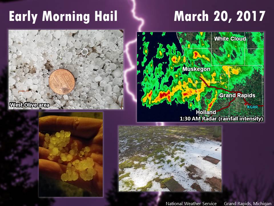
Many locations in west and southwest Michigan experienced small hail and cloud-to-ground lightning early Monday morning. Temperatures were in the upper 30s last night, but a layer of warm and unstable air about a mile above ground was responsible for these storms. New storms may develop this afternoon in southern Michigan (most likely near/south of I-94) and could also produce hail.
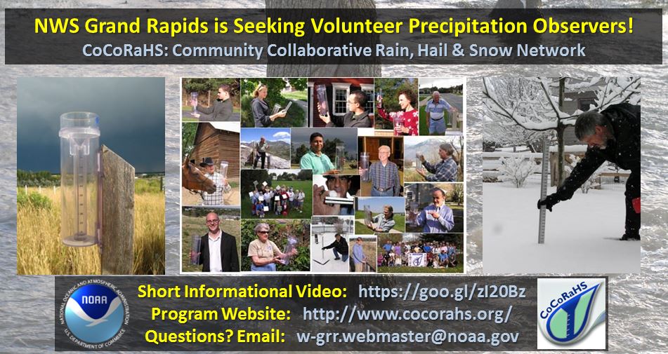
From lake-effect snow to summer thunderstorms, precipitation in Michigan certainly does not fall the same on all! It's your reports that help us paint a clearer picture of how much has fallen in different locations.
The Community Collaborative Rain, Hail & Snow Network (CoCoRaHS) is one way to send your rain, snow, and hail measurements to the National Weather Service and many other interested organizations. Using similar rain gauges and reporting in roughly the same time frame each morning, thousands of CoCoRaHS volunteers across the country help create a consistent and reliable understanding of the previous 24-hour's precipitation amounts.
Your daily CoCoRaHS reports are automatically delivered to your local National Weather Service office, where detailed rain & snowfall maps can be created, and river level & flood forecasts can be improved. You might even see your report being used in an on-air broadcast!
For more information, check out this short informational video and the CoCoRaHS website.
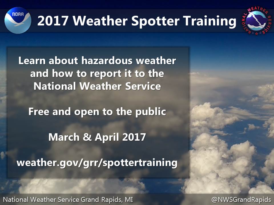
During severe weather, your reports of hail size, flooding, wind damage, or tornadoes are crucial for us to provide accurate and effective warnings. Learn about thunderstorms and how to report severe weather to us at one of several free short course offerings this spring:
weather.gov/grr/spottertraining
 |
Media use of NWS Web News Stories is encouraged! |
|

