
A Moderate Risk of severe thunderstorms (level 4 of 5) is in the outlook across portions of the Midwest today. Damaging winds, a few tornadoes and frequent lightning with heavy rainfall are in the forecast. Meanwhile, dangerous heat across the southern Plains into the Great Lakes, mid-Atlantic and Northeast will expand into Friday. Risk for wildfires for the central Rockies and Sacramento Valley. Read More >
Thursday Afternoon Update:
* Currently snowing in Lansing; some roads slippery.
* Snow and strong winds continue through the evening especially in the Thumb region.
* Snow was hit or miss this morning. Barry County (Hastings and surrounding areas) was hit with 3 to 4 inches of wet snow in 4 hours, which brought power outages to almost half the county. Lightning and thunder was also heard during the heavy snow. Air temperatures were just a few degrees too warm in most other locations.

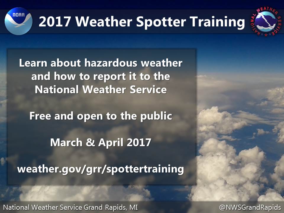
This spring's weather spotter training schedule has been posted: weather.gov/grr/spottertraining
 |
Media use of NWS Web News Stories is encouraged! |
|

