
A slow moving storm system over the northern Gulf Coast will continue periods of showers and thunderstorms over much of the Southeast U.S. through this weekend. The risk for heavy to excessive rainfall increases on Sunday as a surge of increased moisture moves over parts of northern Florida into southern Georgia. Read More >

The National Weather Service needs your help to monitor precipitation across the state! The key to improving weather forecasts is knowing what actually happened on the ground. By joining the Community Collaborative Rain, Hail and Snow Network (CoCoRaHS), you can provide crucial weather information to meteorologists, hydrologists, engineers, famers/ranchers, students, and everything in between. Everyone can participate as a volunteer weather observer through CoCoRaHS. The only requirements are an enthusiasm for watching weather and reporting conditions, and a desire to learn more about how weather can affect and impact our lives. (A standard 4 inch rain gauge is required for precipitation measurements to ensure all observations are using the same type of equipment that is calibrated for National Weather Service needs.)
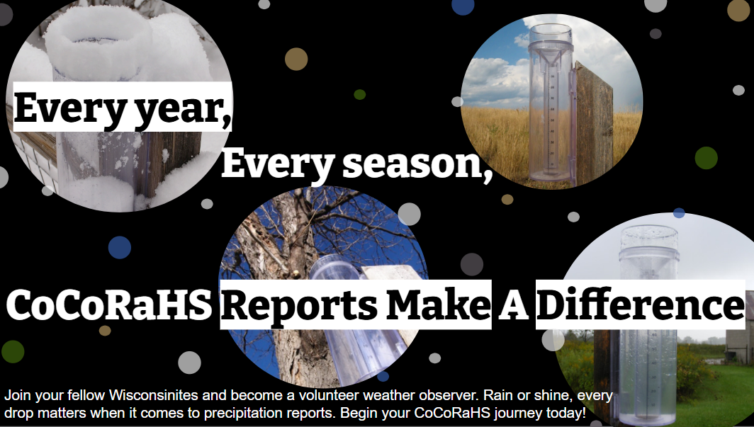
The data can be used to assess precipitation trends, support the agriculture community, and help water resource managers. The National Weather Service uses the data every day to create rainfall and snowfall maps, produce river forecasts, and assess flood risk. When there is a deficit in rain and snow, the daily observations of zero precipitation and condition monitoring reports aid in creating the U.S. Drought Monitor. By joining the CoCoRaHS Network, you will be able to actively help Upper Michigan get a more accurate forecast. You can also view your archived data on the website to easily track the precipitation in your backyard!
For questions or more information, please contact james.salzwedel@noaa.gov, one the Upper Michigan CoCoRaHS coordinator.

