Northern Indiana
Weather Forecast Office
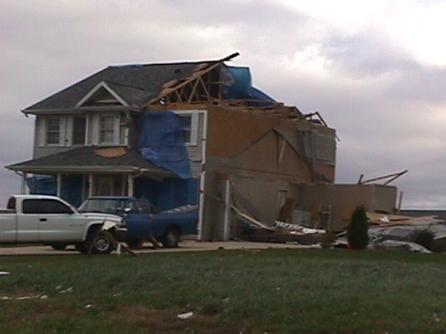
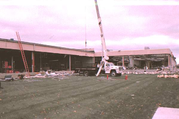
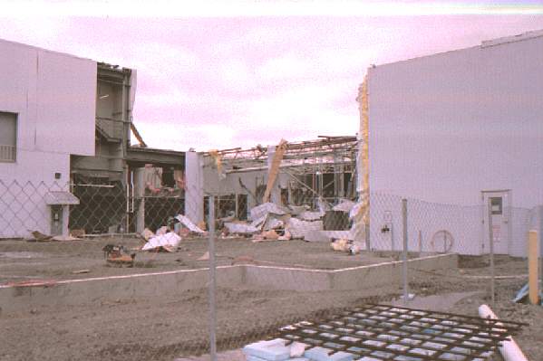
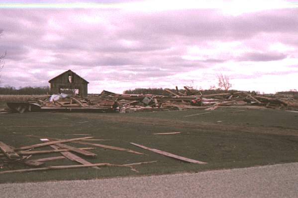
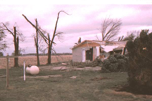
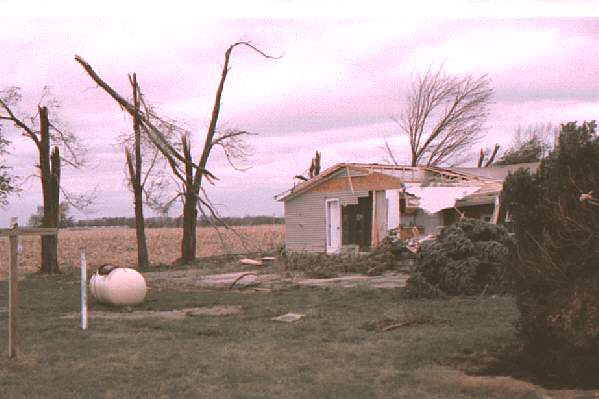
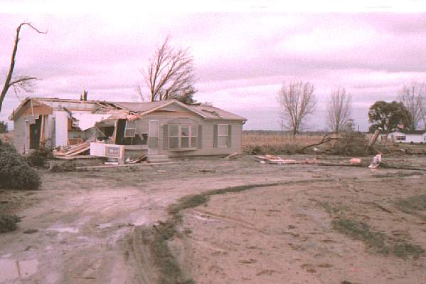
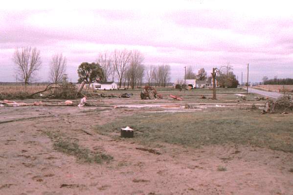
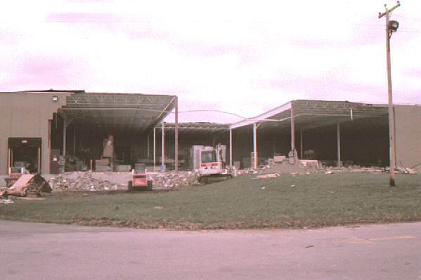
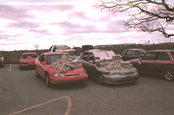
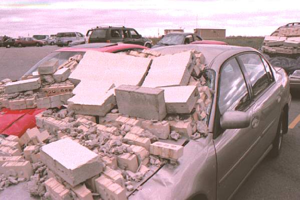
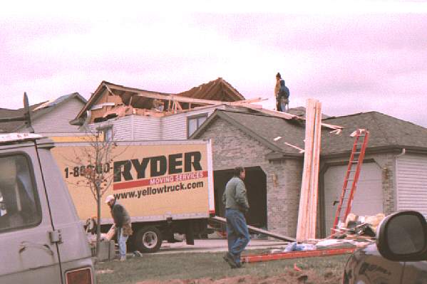
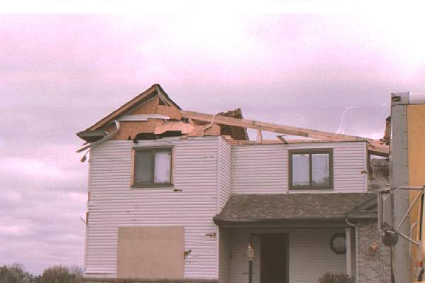
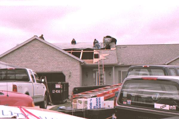
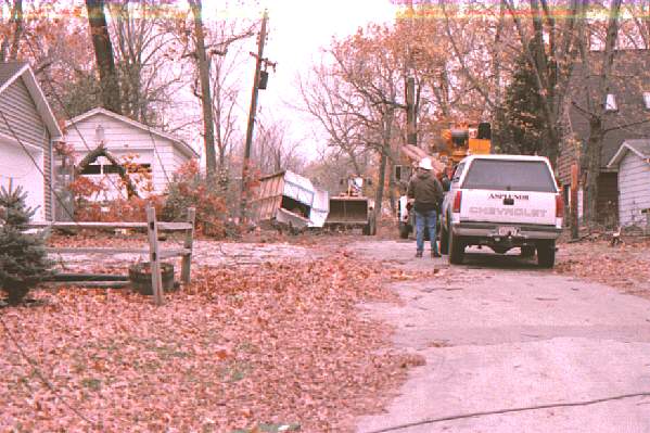
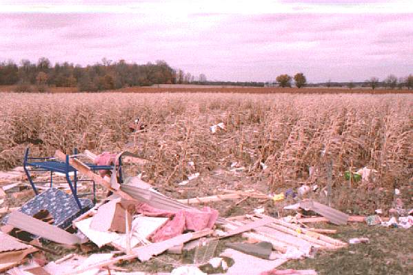
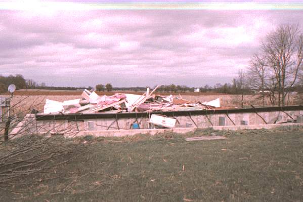
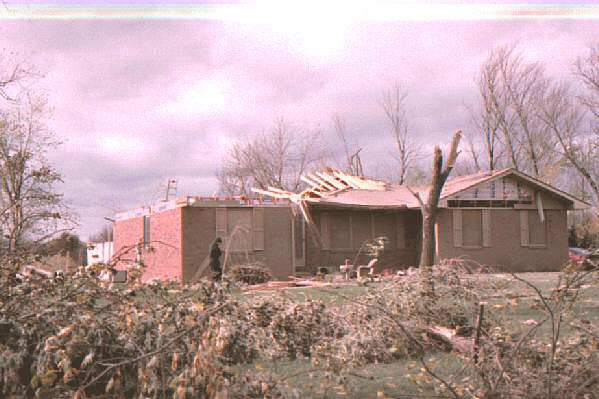
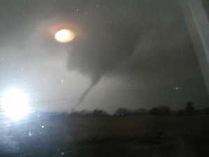
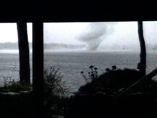
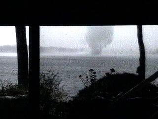
The third tornado of the day dropped to earth at 4:15 p.m. EST in the southeast corner of Marshall County near Tippecanoe. It headed to the northeast, striking Warsaw, North Webster (coming within 2 miles of the weather office, passing very near employees' homes), Wawaka, and lifted near Rome City in Noble County. The path length was 39 miles with a maximum width of 150 yards. It caused strong F1 damage and was to blame for fourteen injured people.
Hazards
Heat Related
Winter Related
Watch/Warning
Outlook
Storm Reports
Storm Prediction Center
Submit a Report
Event Ready
Climate
FWA Daily
SBN Daily
FWA Monthly
SBN Monthly
CoCoRaHS
Spring Frost Climatology
Fall Frost Climatology
Severe Climatology
Local Information
Skywarn
COOP
Our Office
WSR-88D
Headline Criteria
NOAA Weather Radio
Weather History
Probabilistic Snowfall
Public Information Statement
Social Media Feeds
Weather Events Page
US Dept of Commerce
National Oceanic and Atmospheric Administration
National Weather Service
Northern Indiana
7506 E 850 N
Syracuse, IN 46567
574-834-1104
Comments? Questions? Please Contact Us.

