|
***Please note that images for some historical events are currently unavailable online. If you would like images from an historical event, please send an email to our webmaster account***
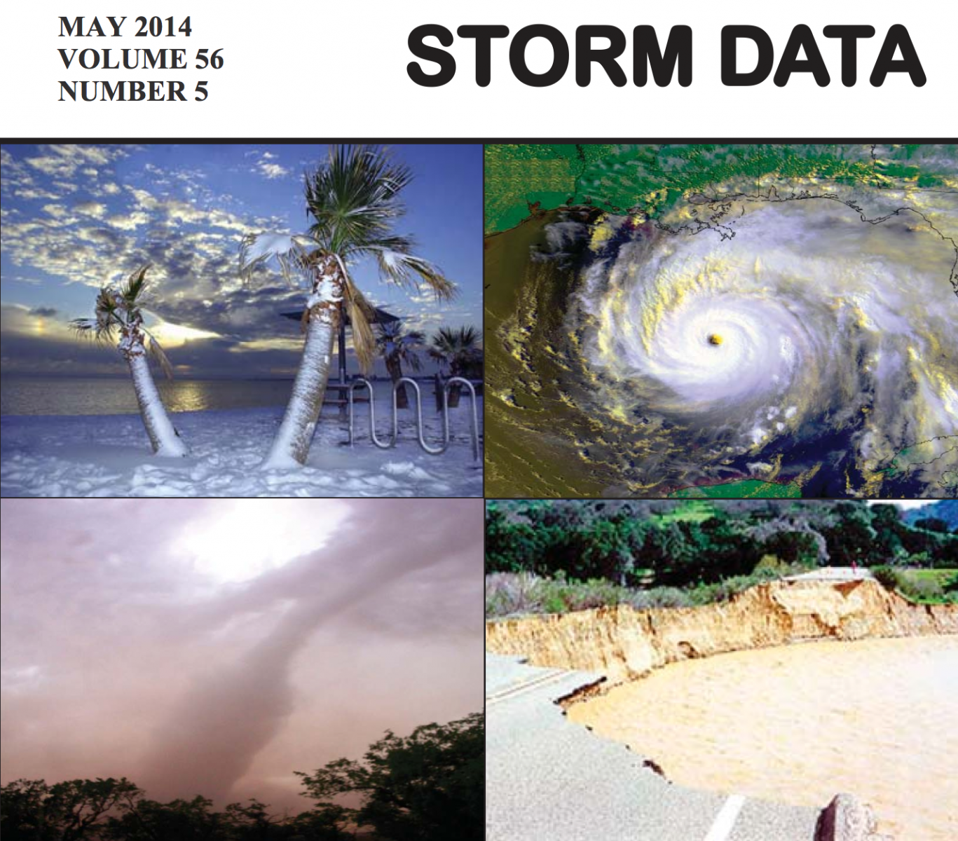
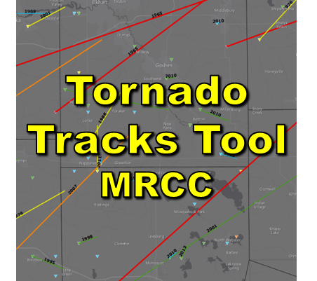
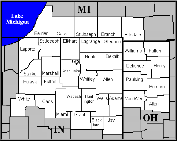
This page serves as a location to find past meteorological event information for northern Indiana, southwest Michigan and northwest Ohio. To the right is a link to Storm Data, a monthly publication by the NWS's National Climatic Data Center. Storm Data will list all of the finalized, quality controlled severe weather reports and damage survey assessments within the NWS Northern Indiana County Warning Area broken down by month. To the lower right there is a thumbnail link to an interactive map archive of preliminary Local Storm Reports that are issued by an NWS office whenever a severe weather event is reported. Below on this page are individual event reviews for the local area sorted by event type. Many of these are archived stories from top news headlines on our home page in the hours to days after the events. Click on the date to jump to the full archived event review. Each story contains data and records from the event, and often meteorological insight along with photos. To quickly search for an event, click the "All" tab, hit Ctrl + F to search your browser, and enter the city, county, or date. If you cannot find what you are looking for here, try our Local Climate page, or for visualizing various other datasets, try the NOAA Weather and Climate Toolkit. |
|
|
Nearby Past Weather Events |
||||||
|
|
|
|
|
|
|
|
|
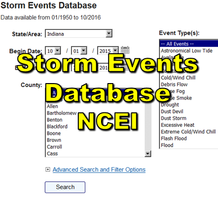
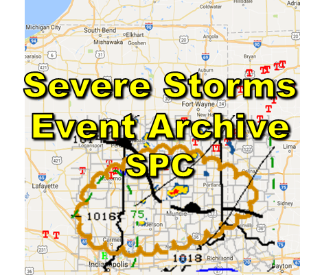
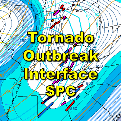
National Event Archives and Databases |
||||
|
|
|
|
|
|

