Weak F0 Tornadoes in Berrien and Cass Counties in Michigan
The National Weather Service in Northern Indiana has conducted a preliminary damage survey of portions of southern Berrien county and southwest Cass county in Michigan. The majority of the wind damage was caused by straight line winds estimated between 70 and 85 mph as a fast moving line of severe thunderstorms moved east across the area. 2 distinct damage tracks were noted in the area, with several tree limbs broken off, a few large trees uprooted, power poles damaged and some structural damage being observed in both areas.
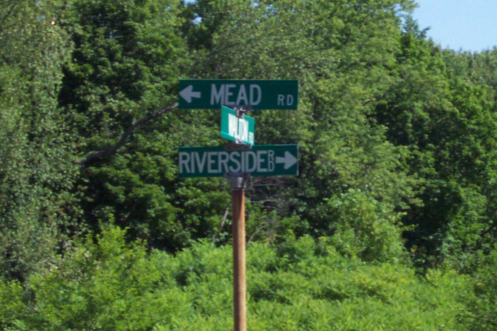
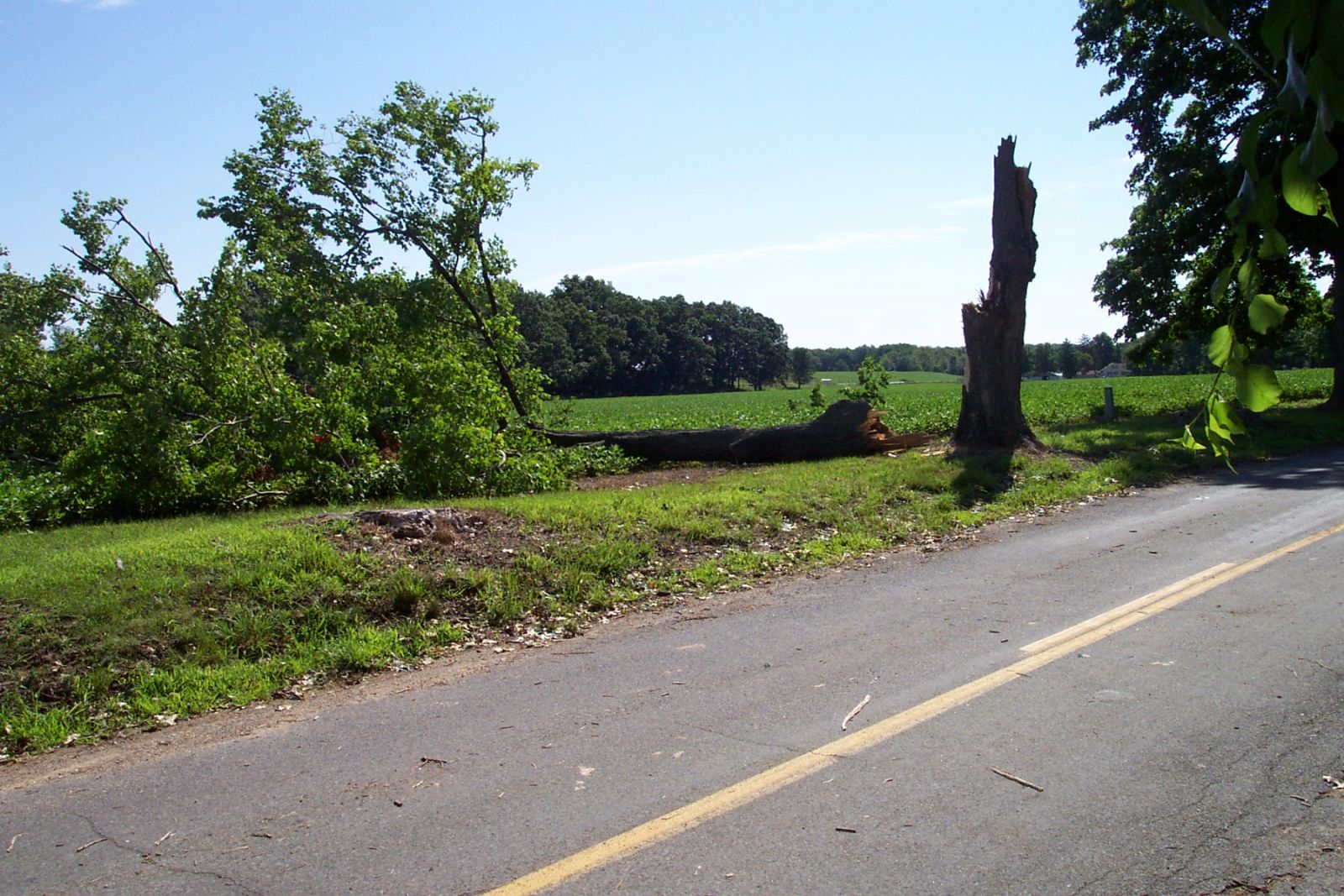
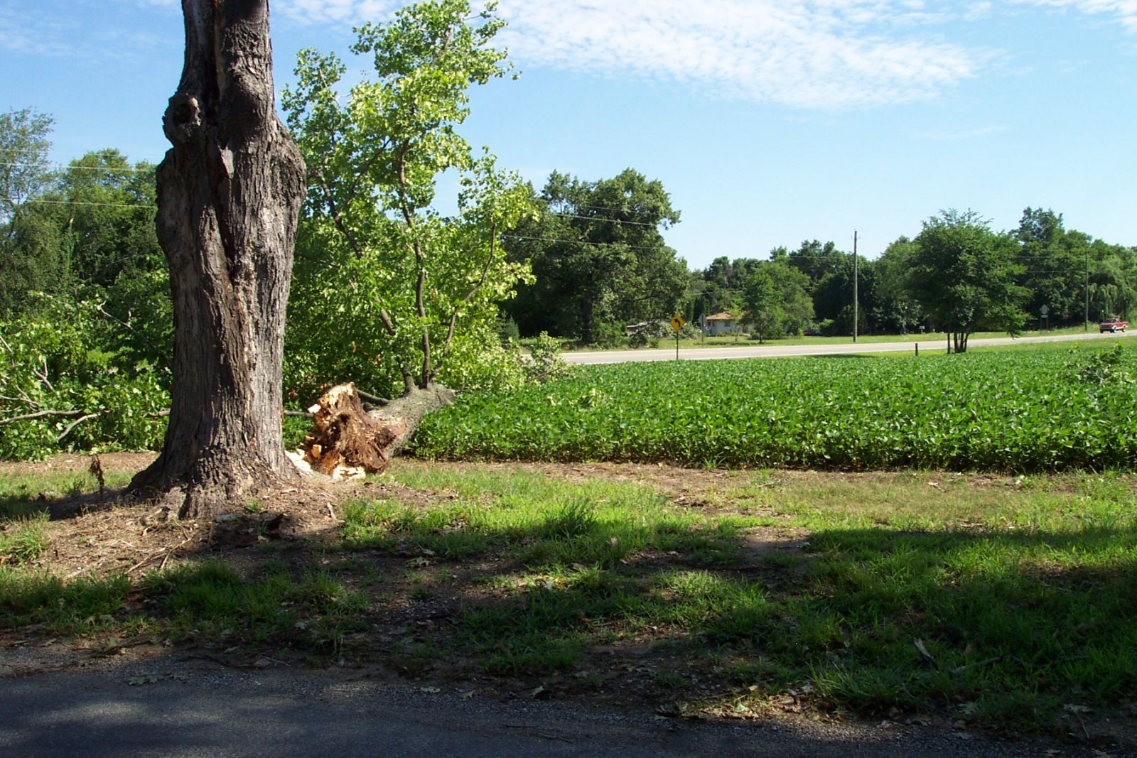
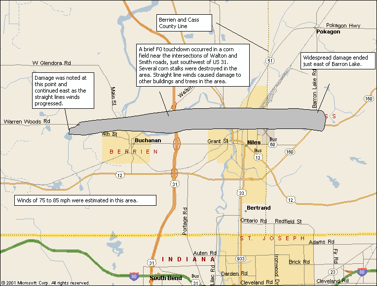
Damage was noted along a 14 mile long track starting from just north of Clear Lake, extending east to the north side of Buchanan. The damage track continued into the northern part of Niles and then crossing into western Cass County, near Barron Lake...where the damage ended on the east side of the lake. There was evidence of a brief touchdown by a weak F0 tornado near the intersection of Walton and Smith Roads, just west of US-31. The touchdown occurred in a corn field southwest of this intersection and quickly lifted. It remained on the ground approximately 50 yards and was roughly 50 feet wide.
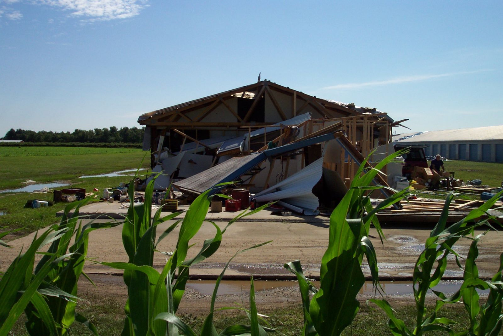
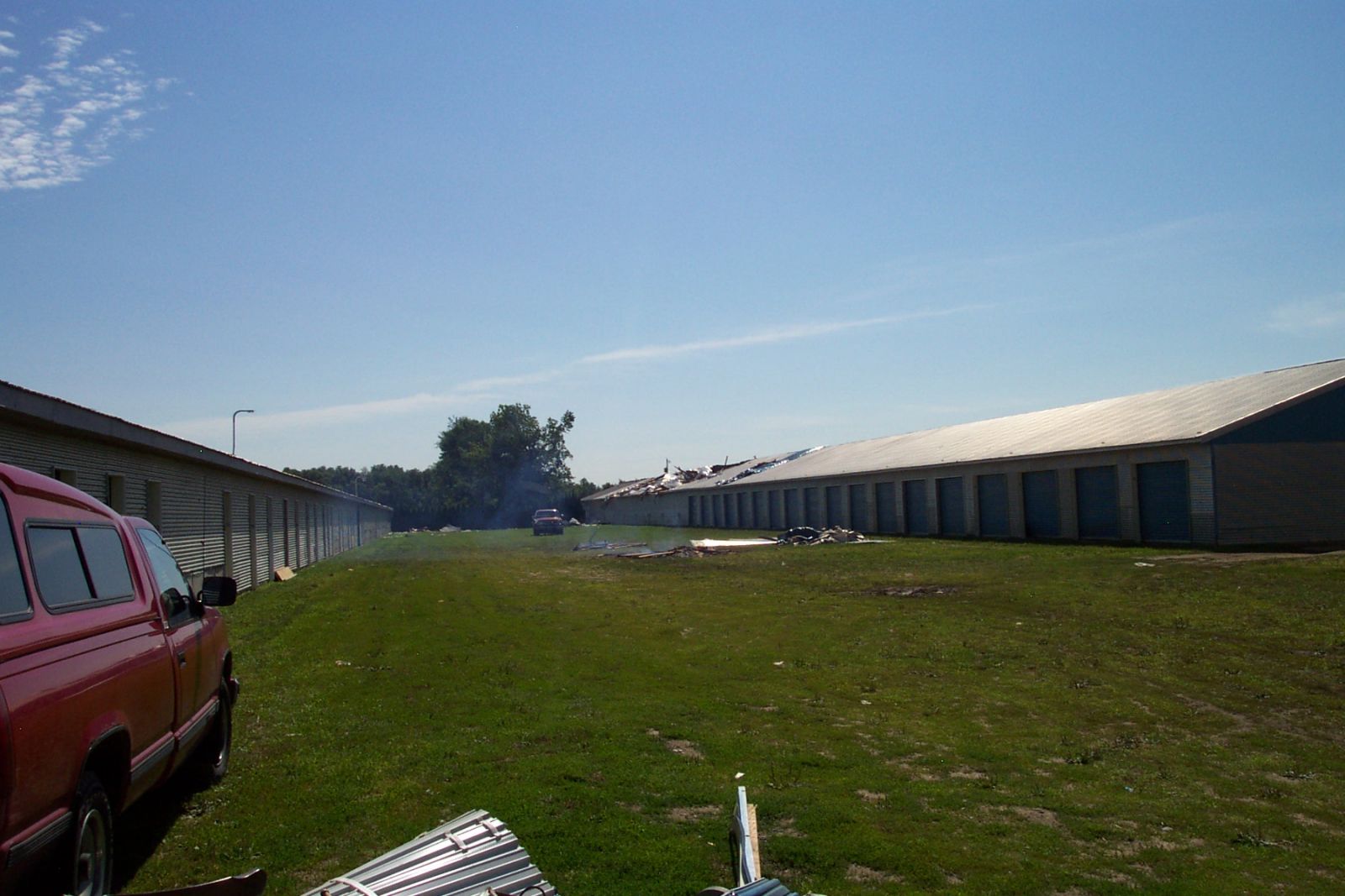
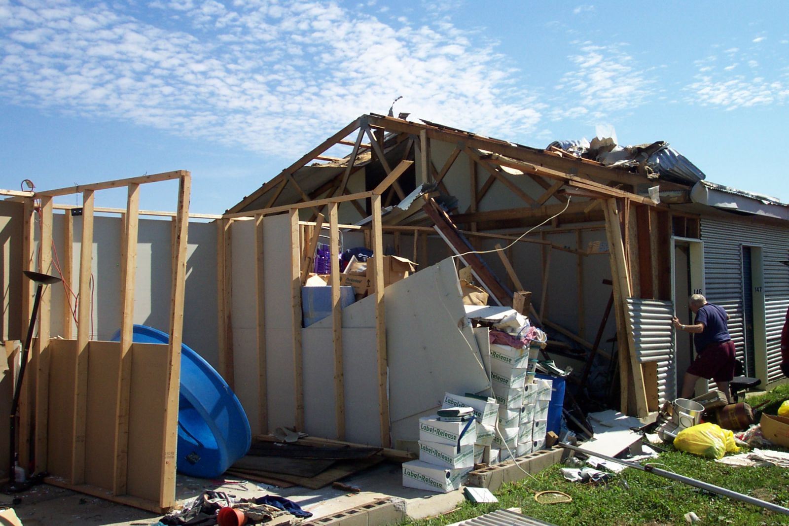
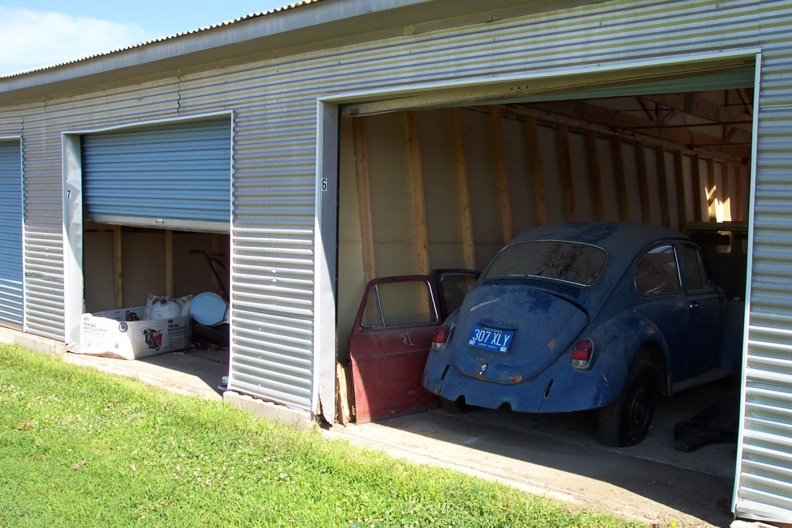
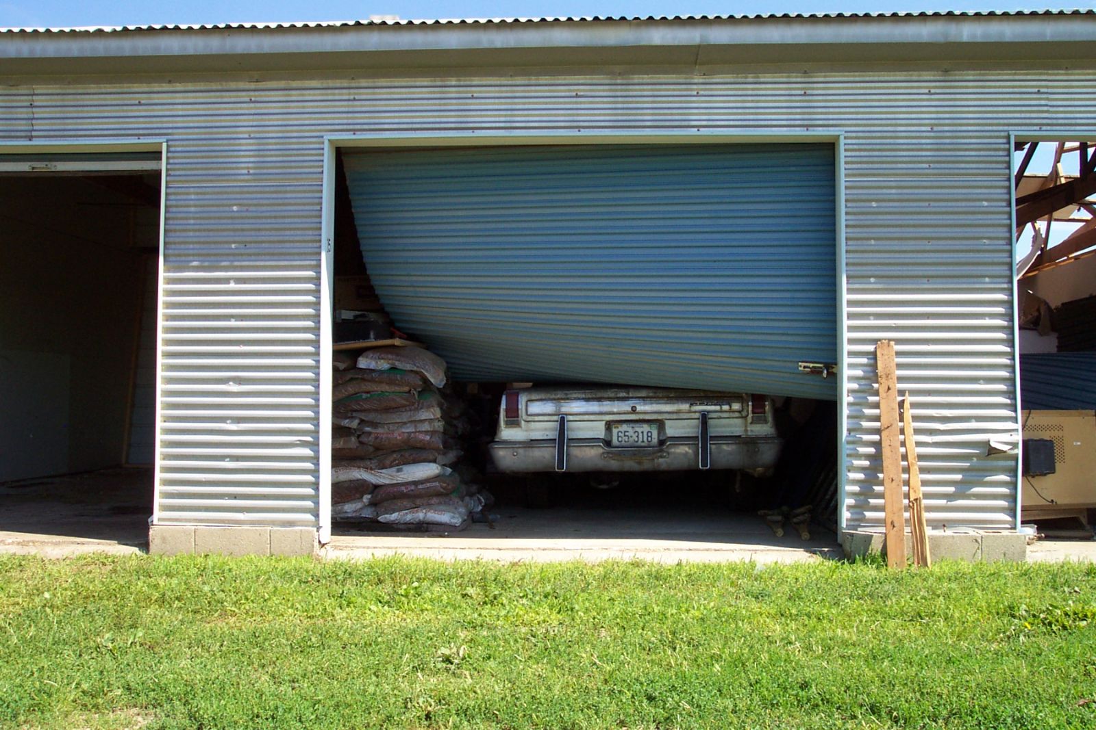
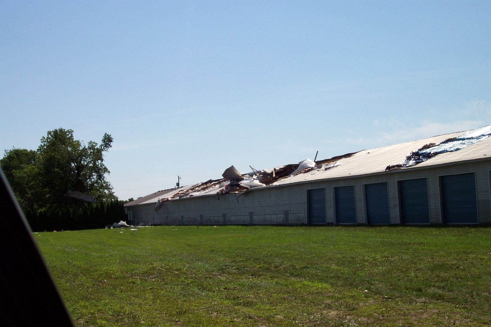
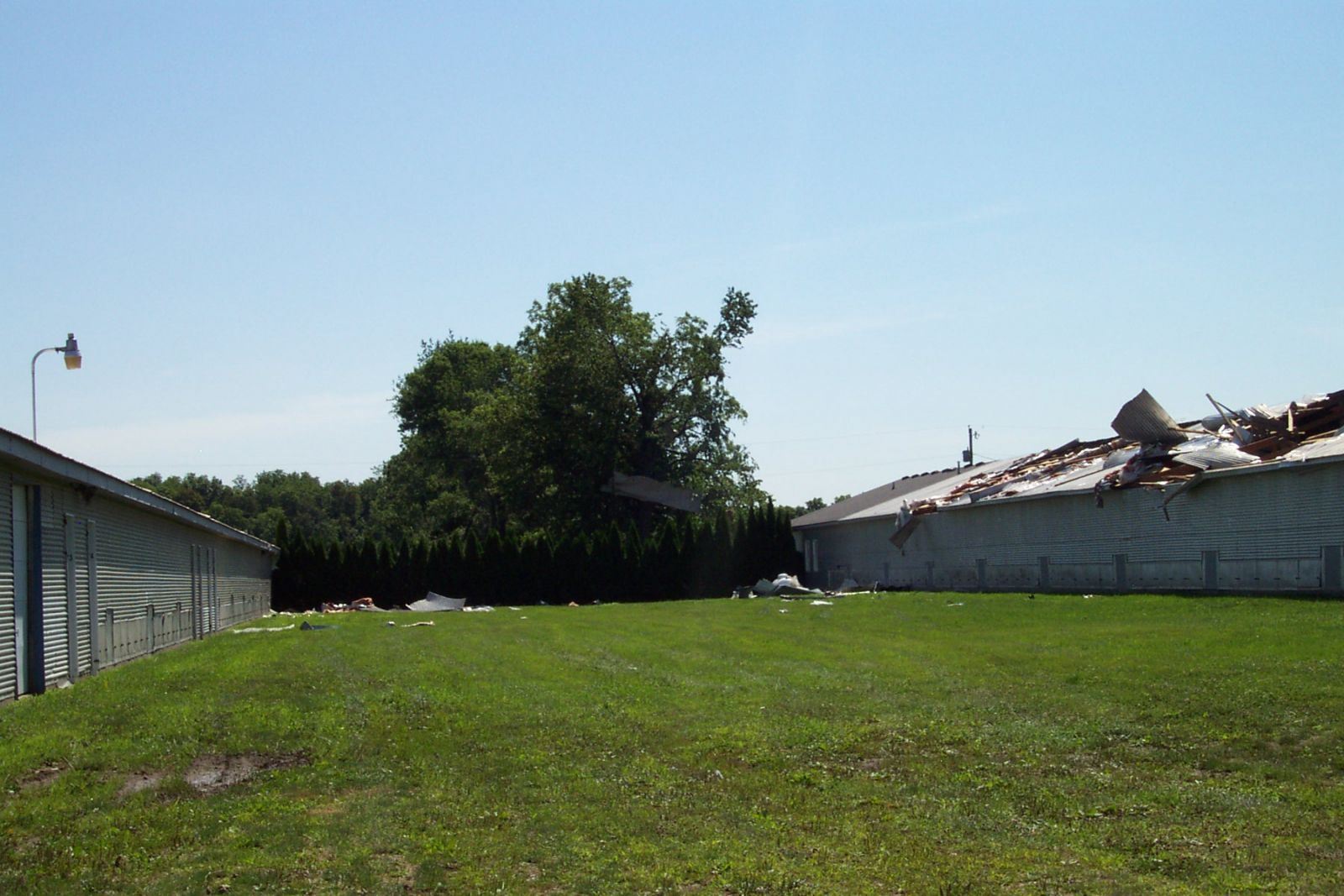
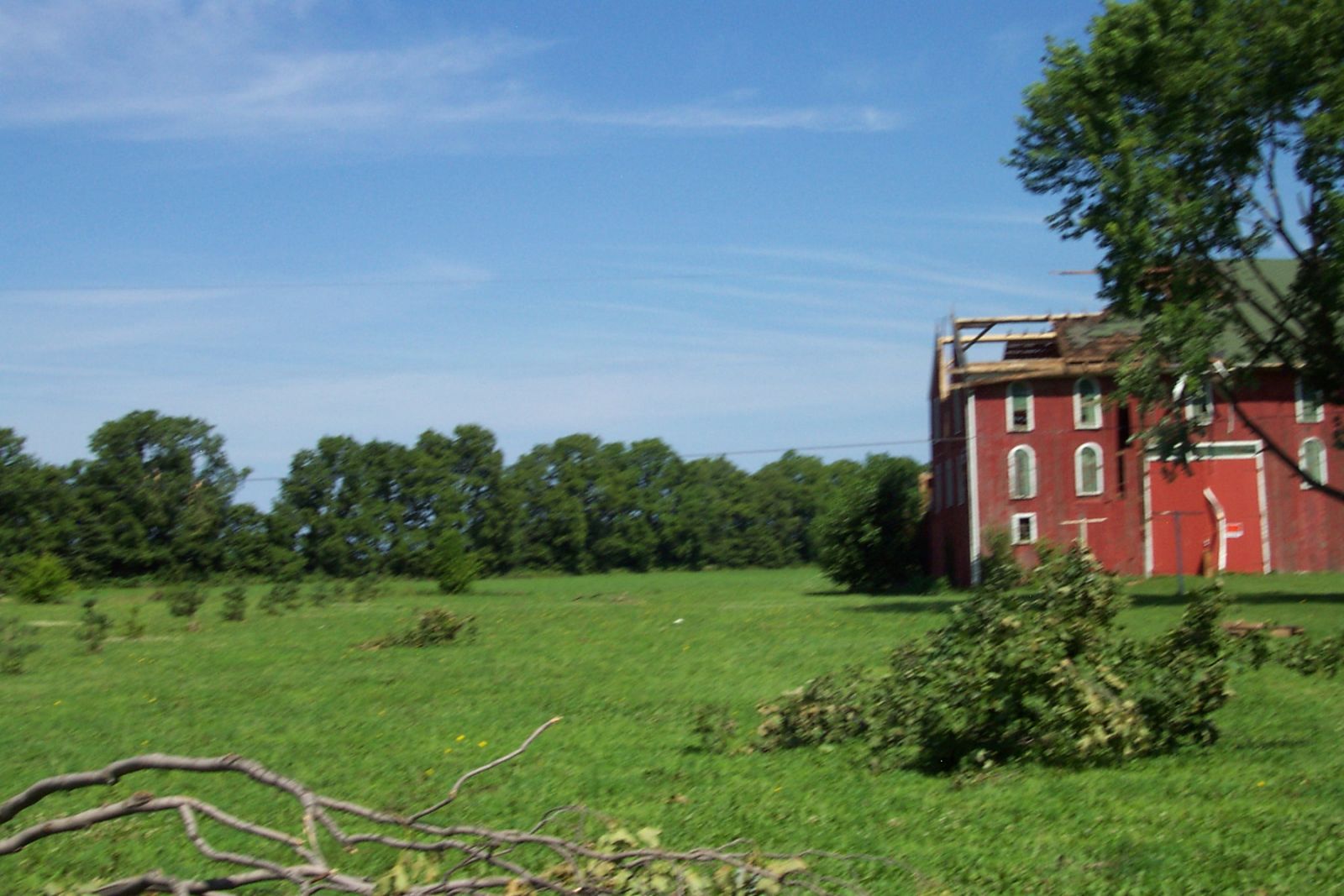
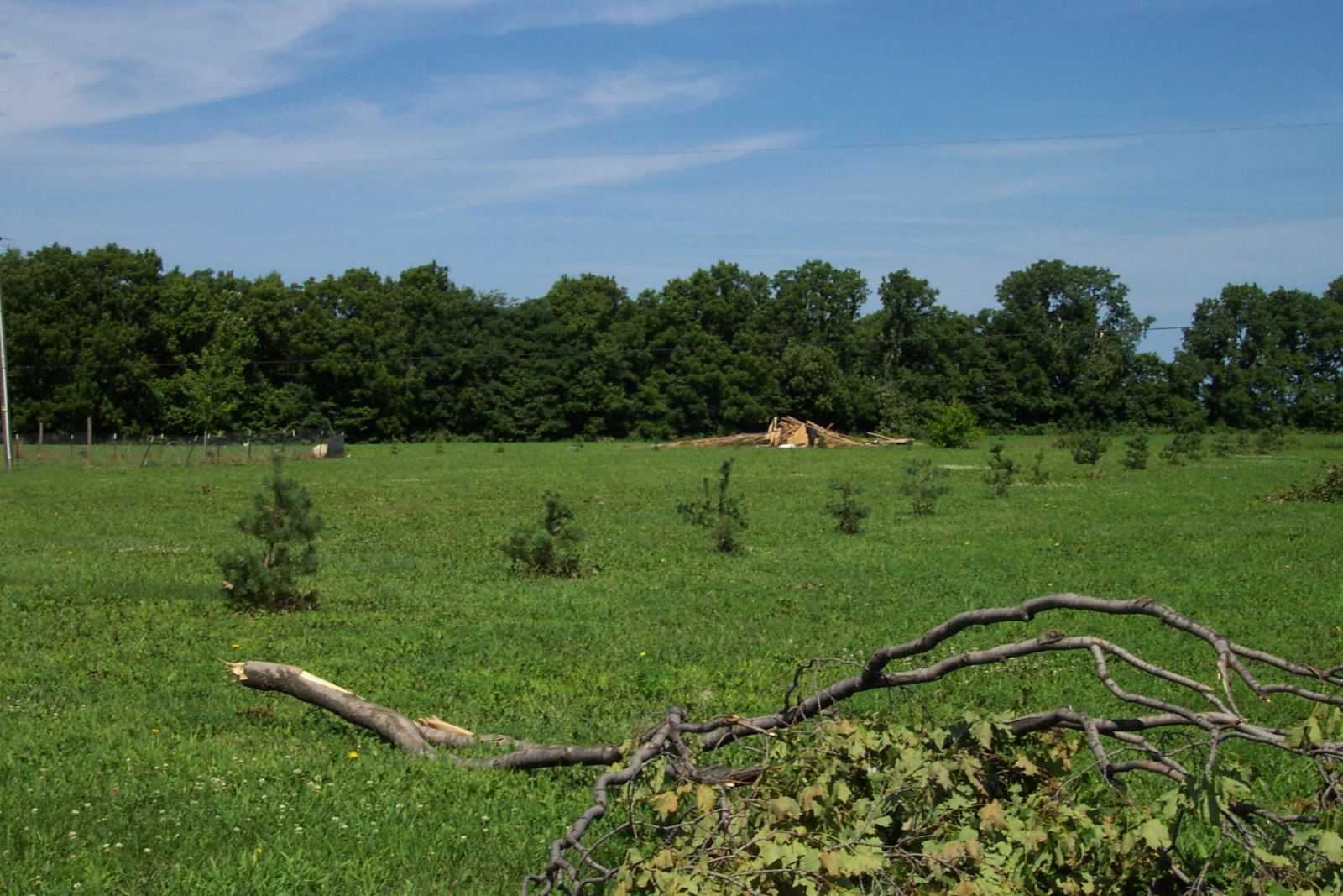
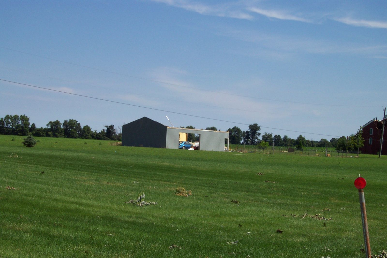
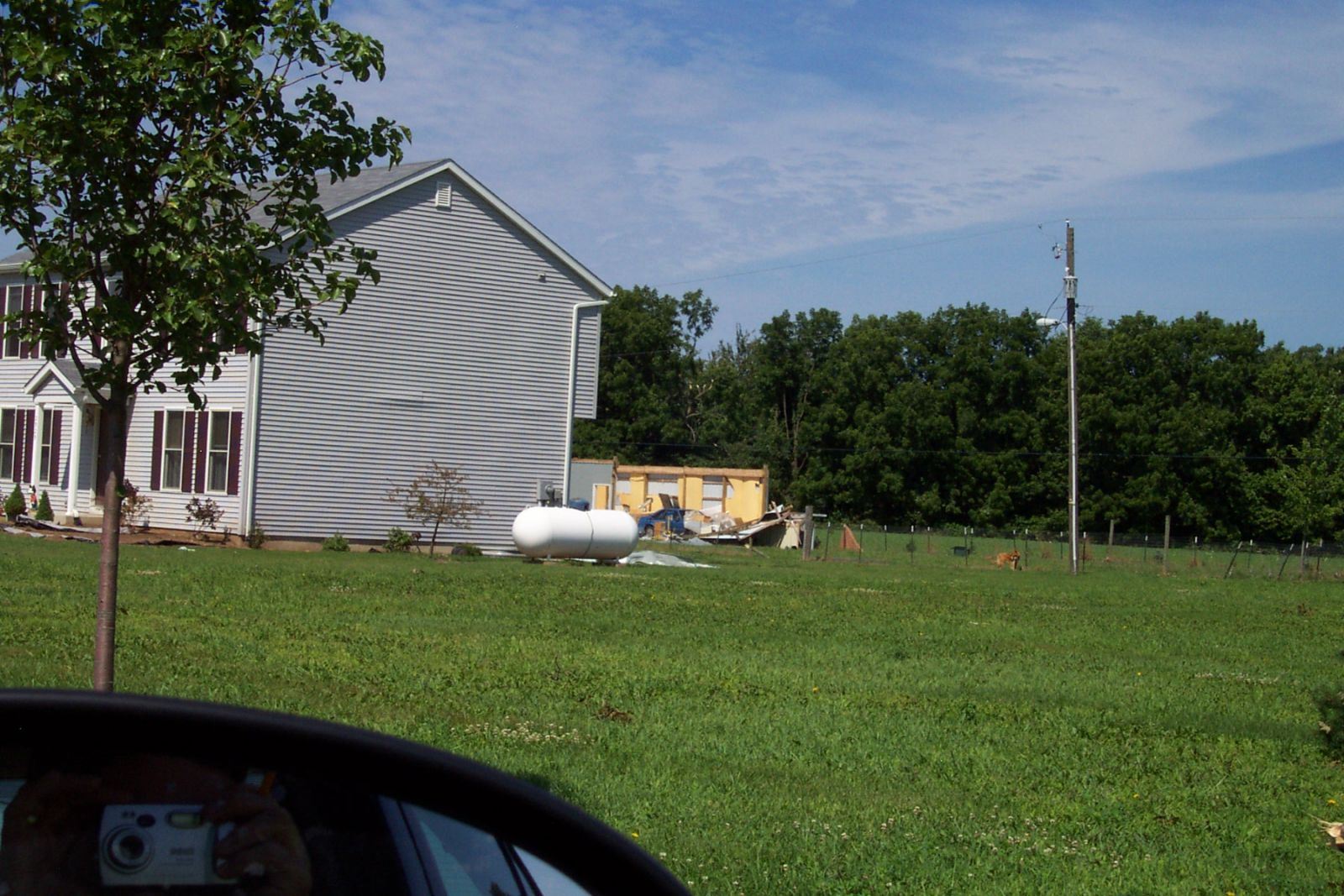
Straight line wind damage occurred to 2 public storage barns in the area. One of these was severely damaged on the western end of the building. This and other damage to the surrounding buildings, as well as a few barns to the north and west of touchdown all were consistent with straight line wind damage. Damage Map 1 shows the track of damage for this area.
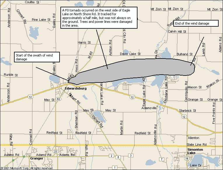
A second area of damage, roughly 6 miles long, was noted starting just east of Edwardsburg in southwestern Cass county and continuing to the east side of Juno Lake. There was evidence of a touchdown by a weak F0 tornado on the west side of Eagle Lake on North Shore road. The track of the tornado went approximately a half mile and was 50 yards wide, with the tornado not always in contact with the ground. The tornado finally lifted on the north side of Eagle Lake. Damage continued to campgrounds in the area as well as residences on all but the south side of Juno Lake. Damage map 2 shows the track of damage for this area.
Wind speeds from an F0 tornado are 73 mph or less. Damage from an F0 tornado is considered light and may include damage to chimneys, branches broken off trees, shallow rooted trees pushed over and signs or boards damaged. Straight line winds with this event were between 75 and 85 mph, which can cause substantial structural damage.
This information remains preliminary and may be changed based on additional information and analysis.
For official storm data, contact the National Climatic Data Center. Please allow 2 to 4 months for the data to be compiled.
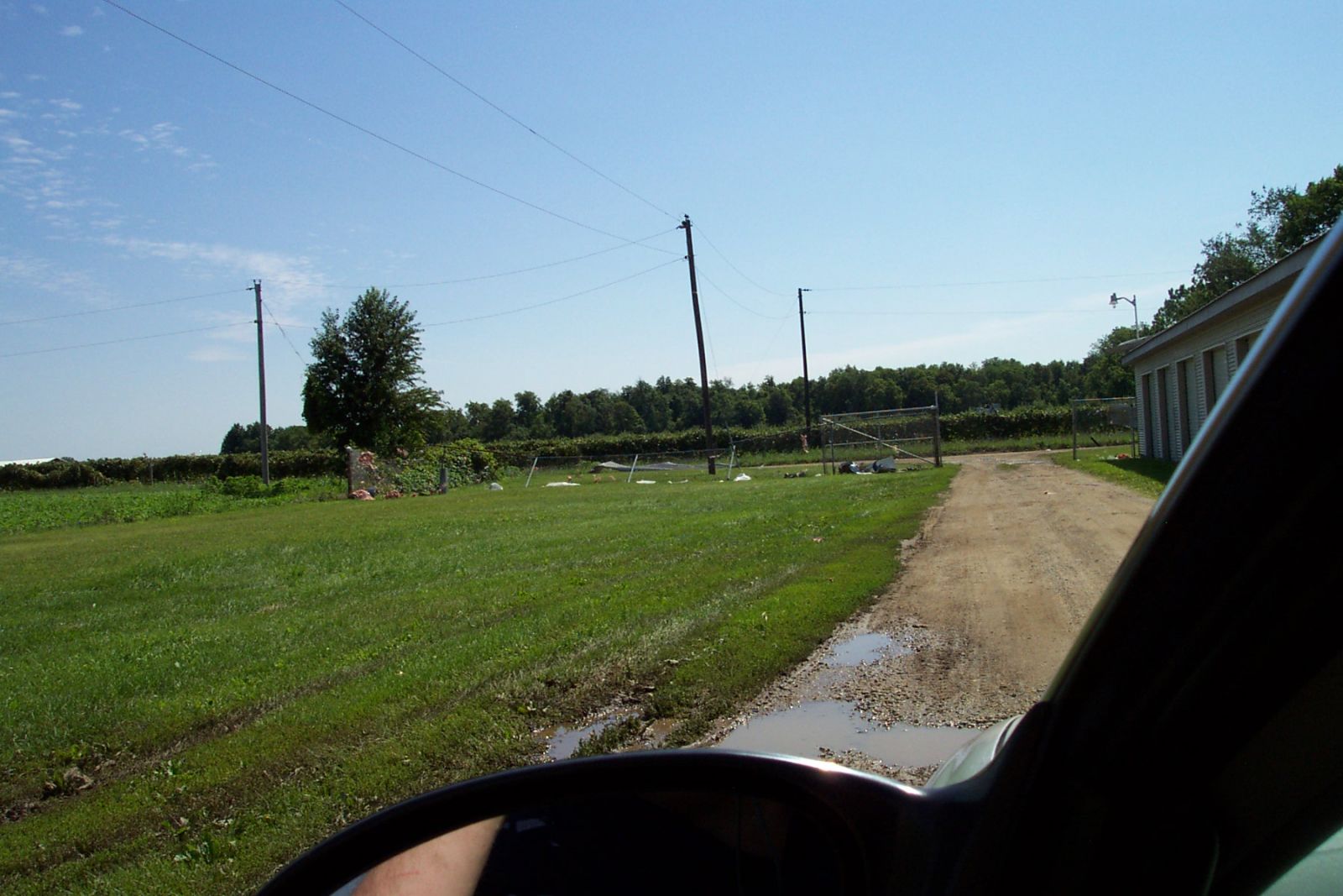
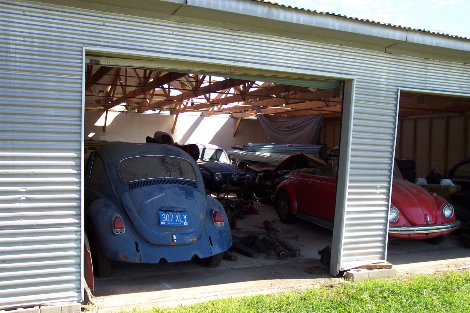
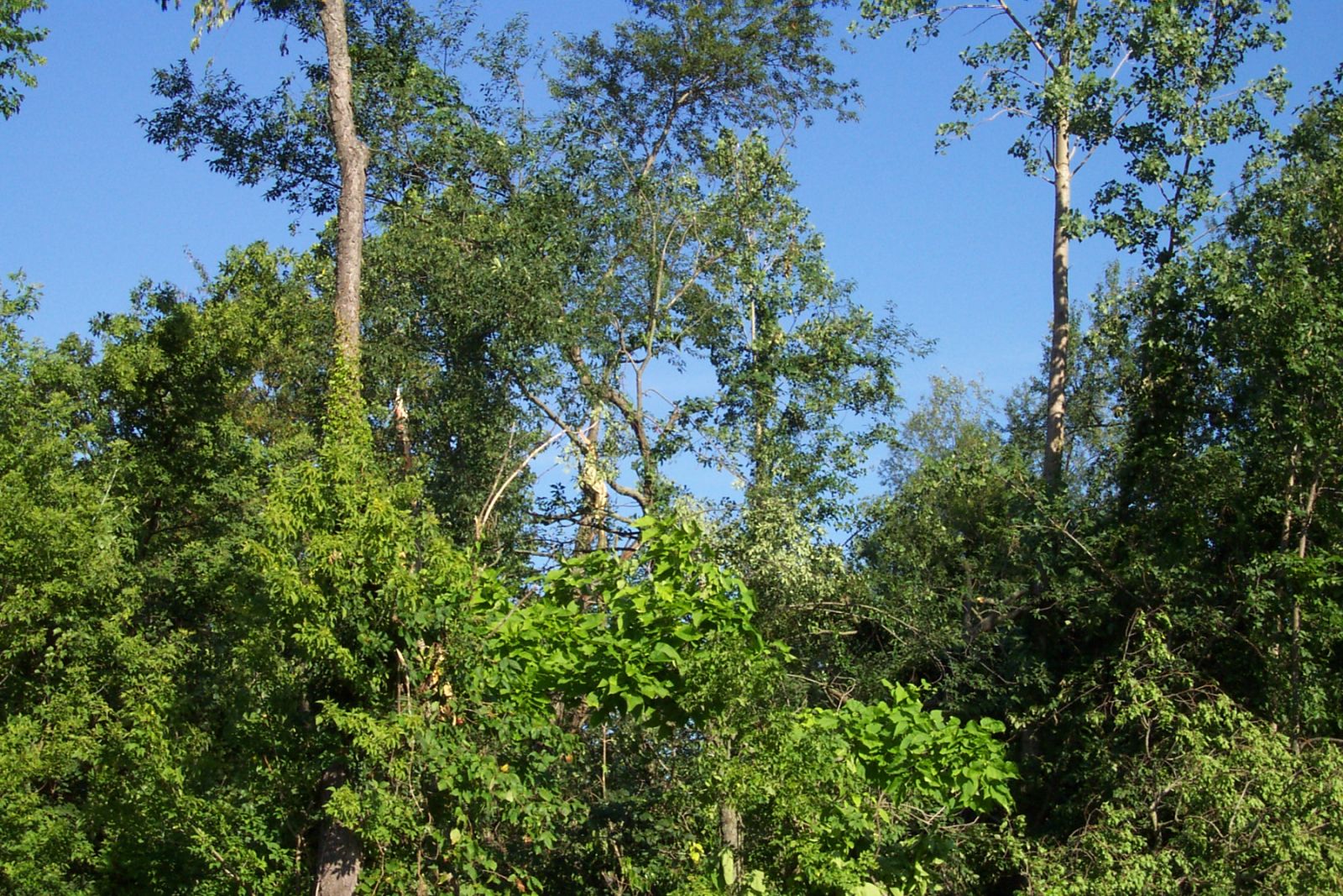
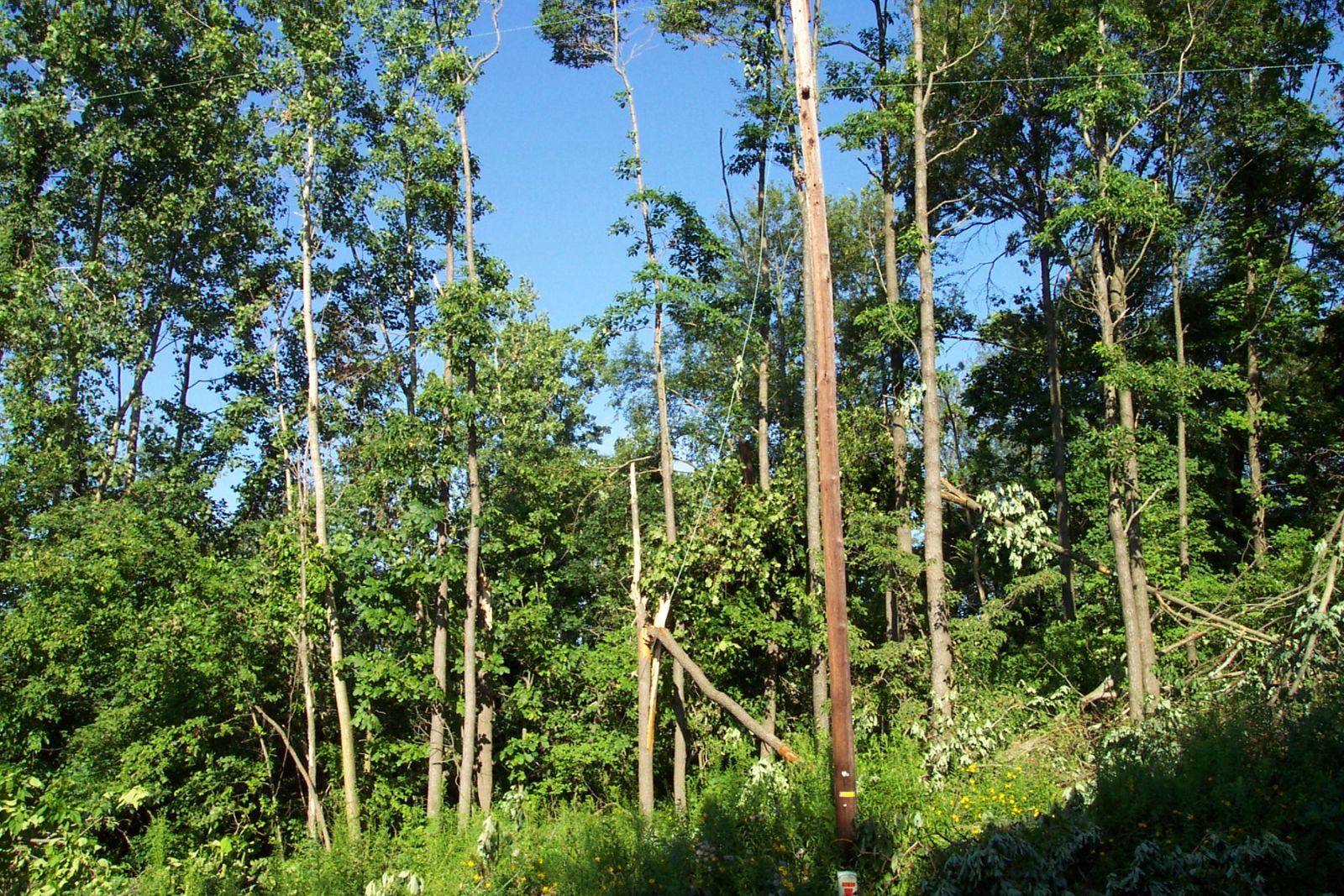
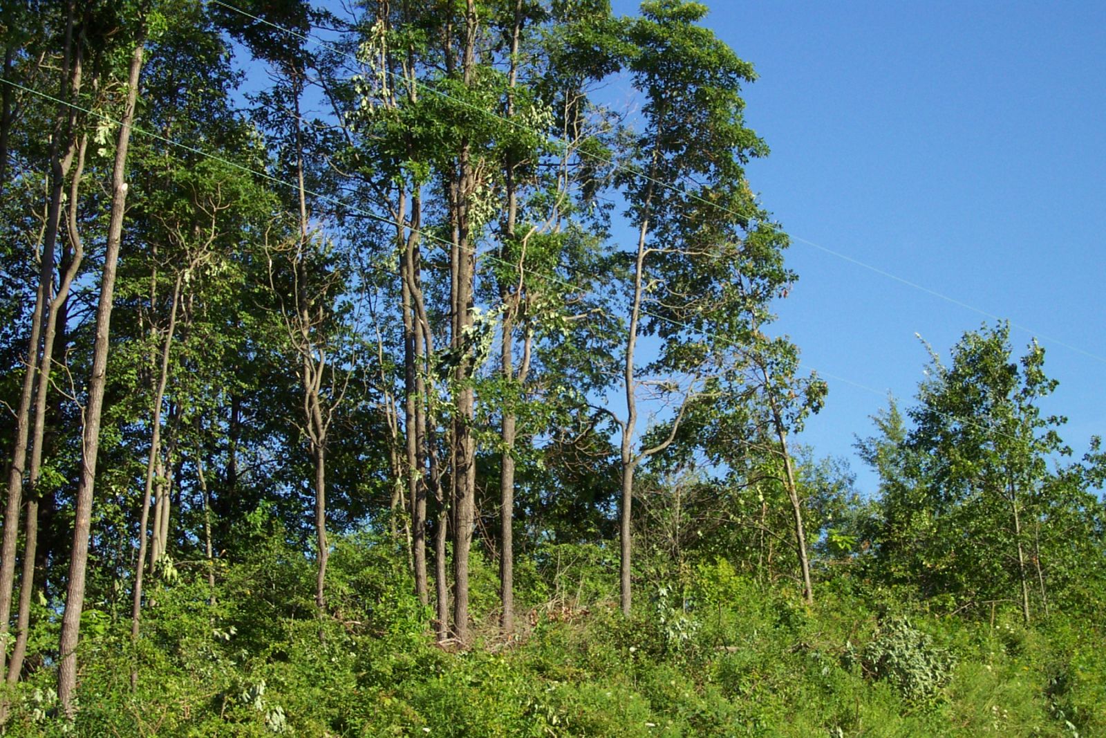
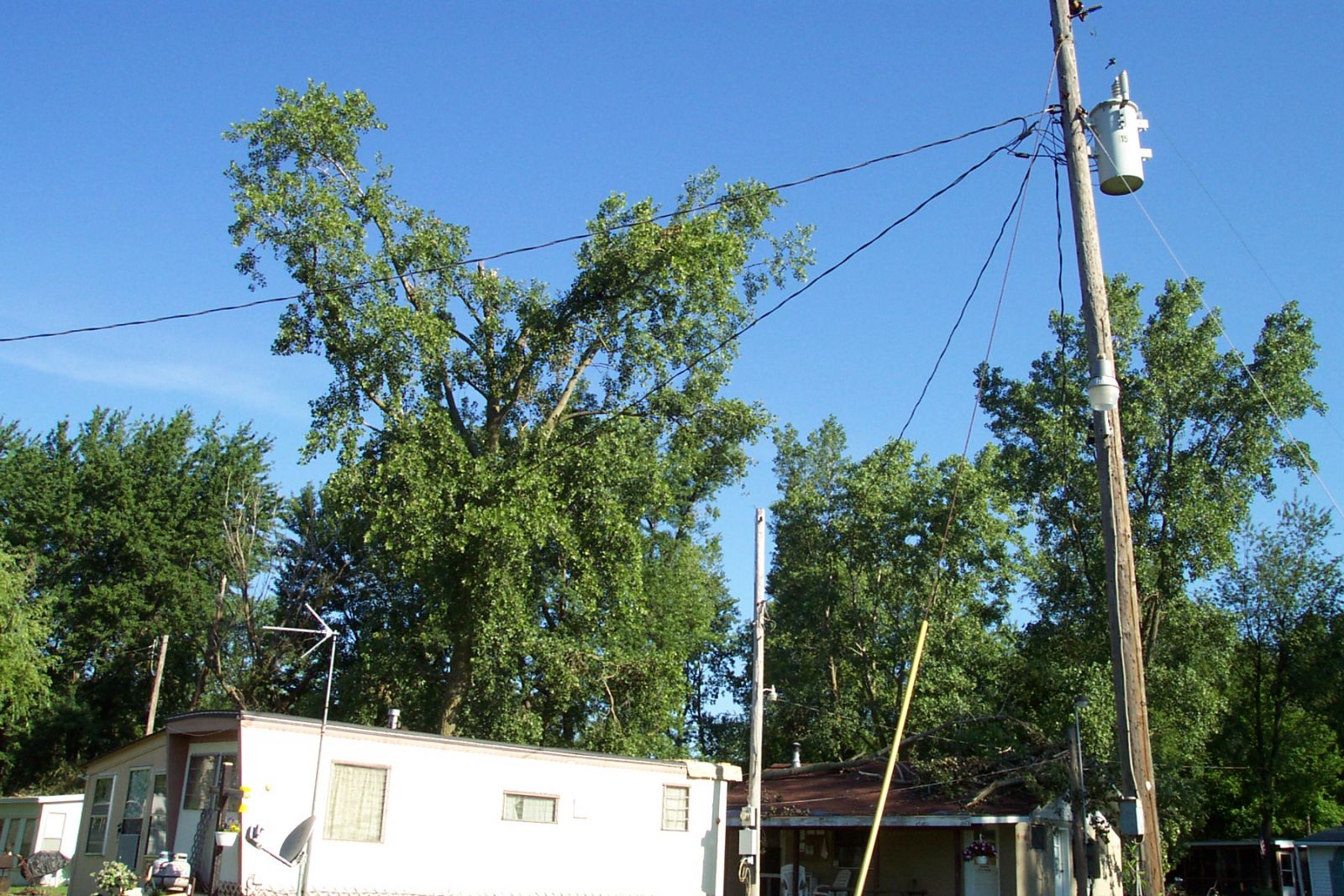
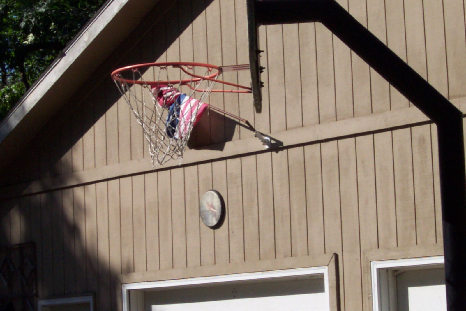
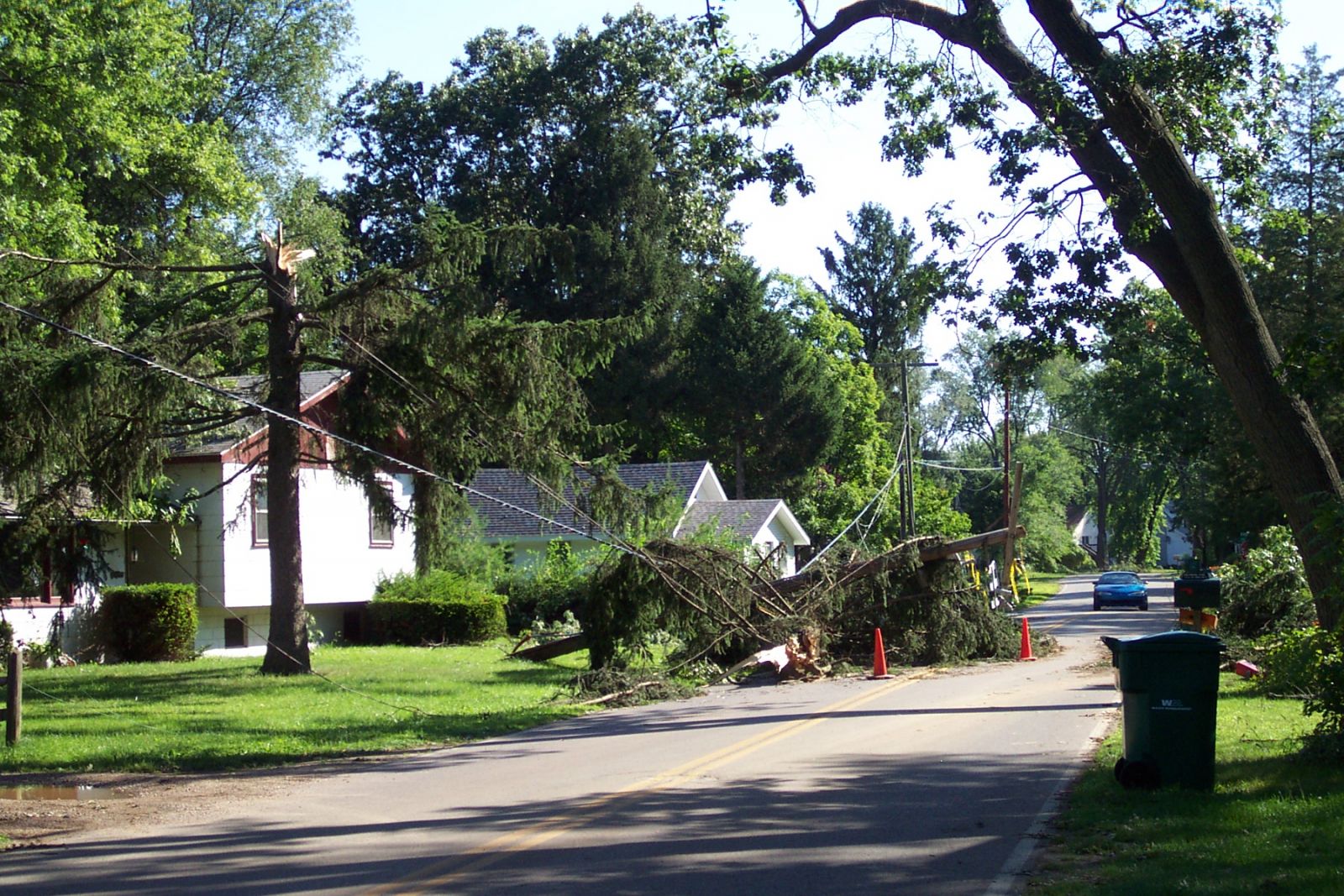
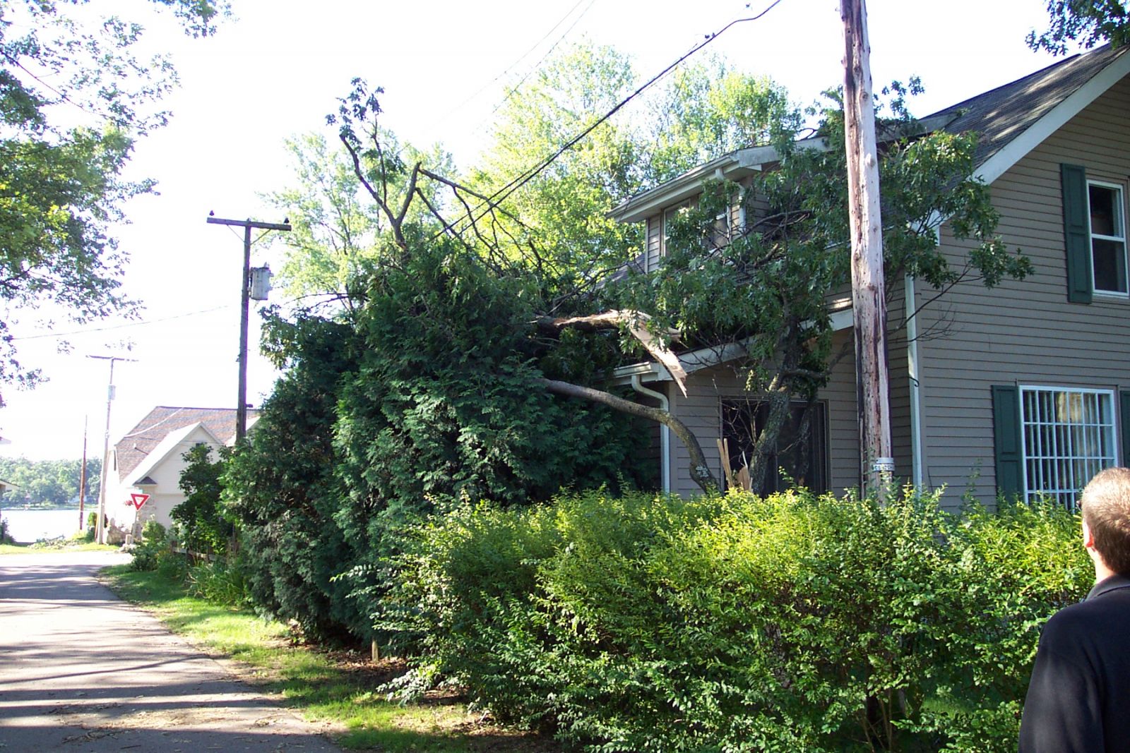
Pictures from around Buchanan and Niles (Berrien County)
 |
 |
 |
 |
 |
 |
|
 |
 |
 |
 |
 |
 |
 |
 |
 |
 |
|||
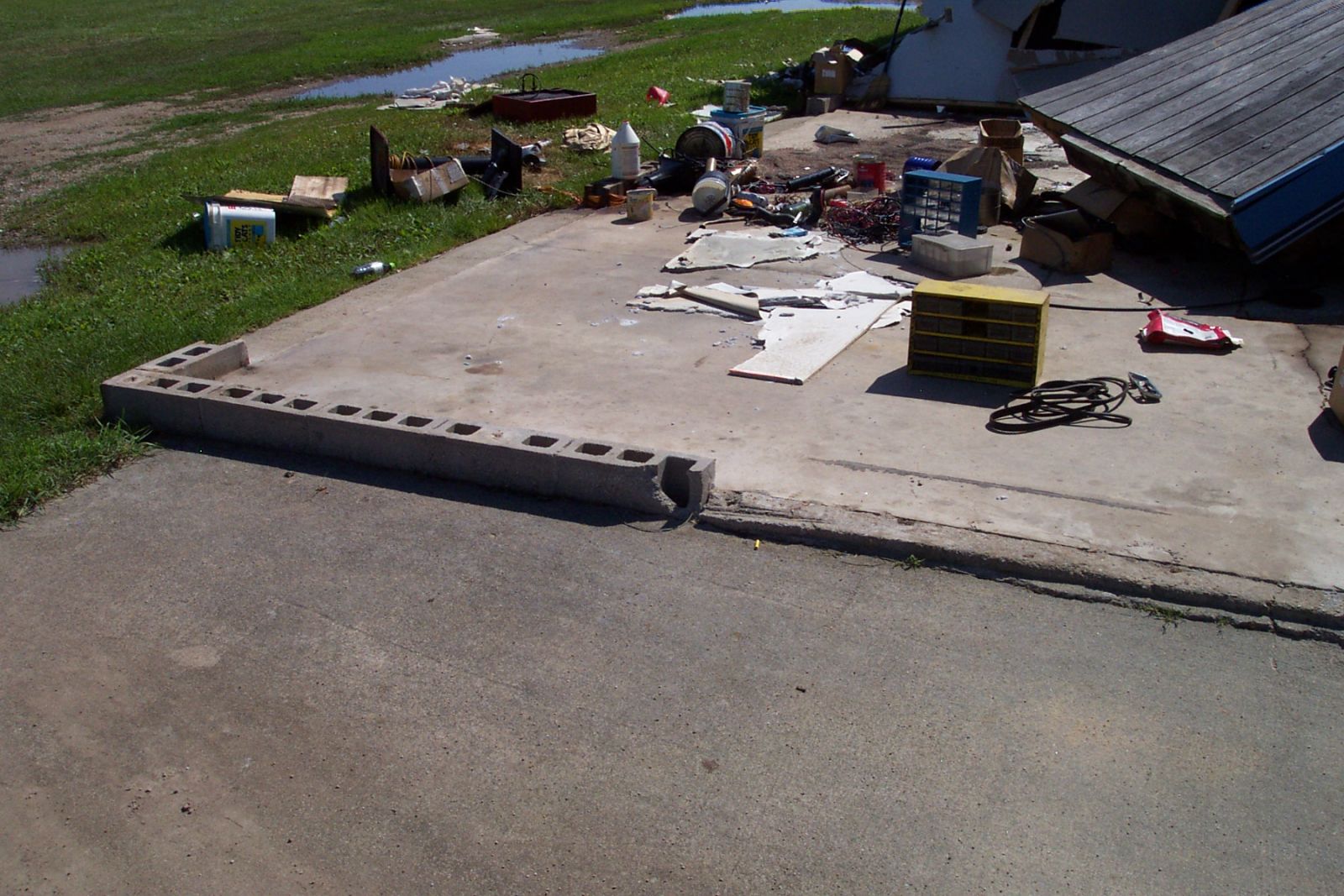
Pictures From Eagle and Juno Lakes (Cass County)
 |
 |
 |
 |
 |
 |
 |

