Northern Indiana
Weather Forecast Office
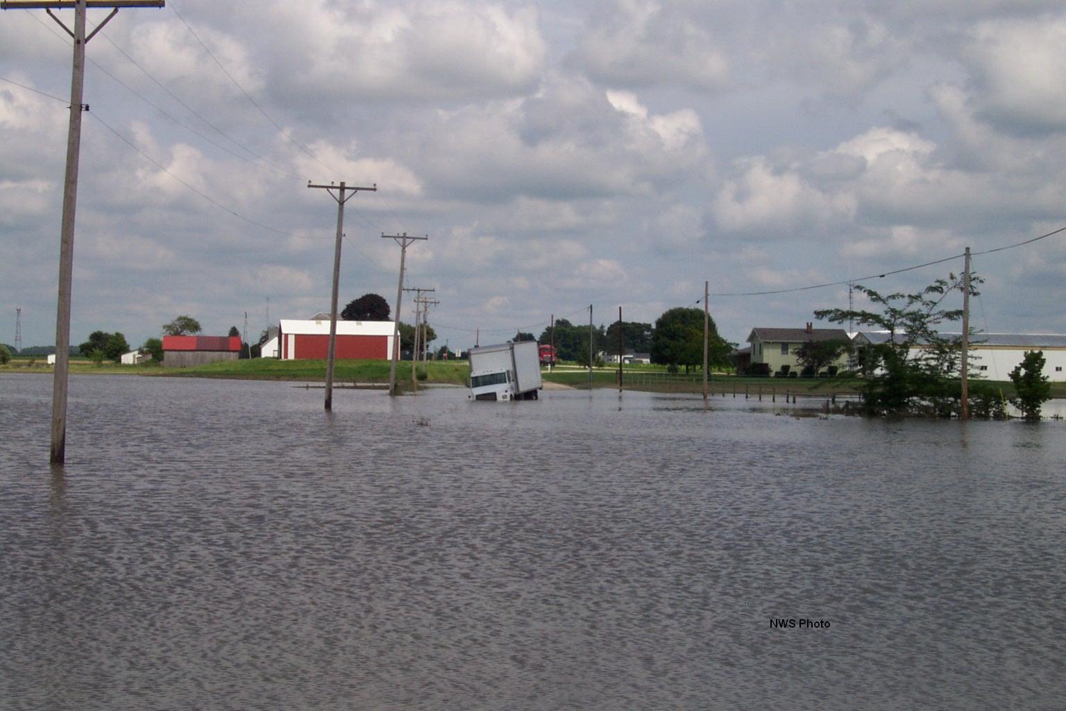
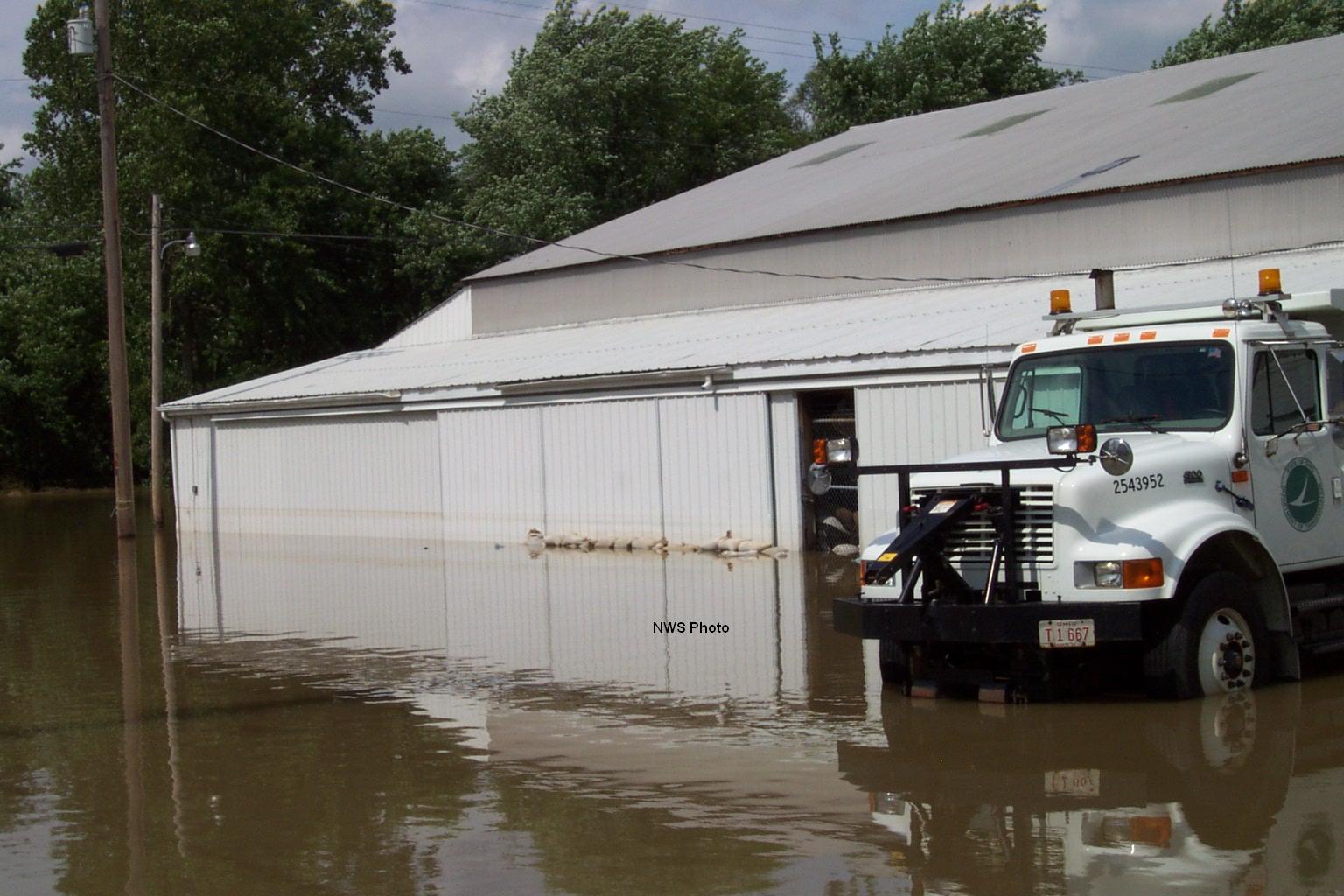
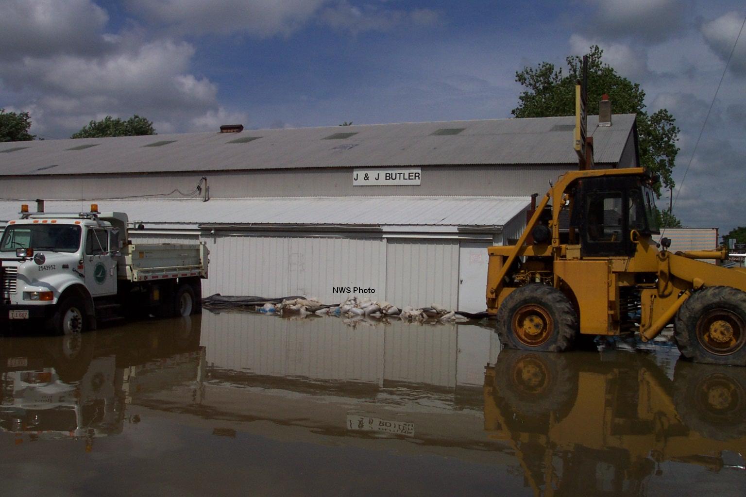
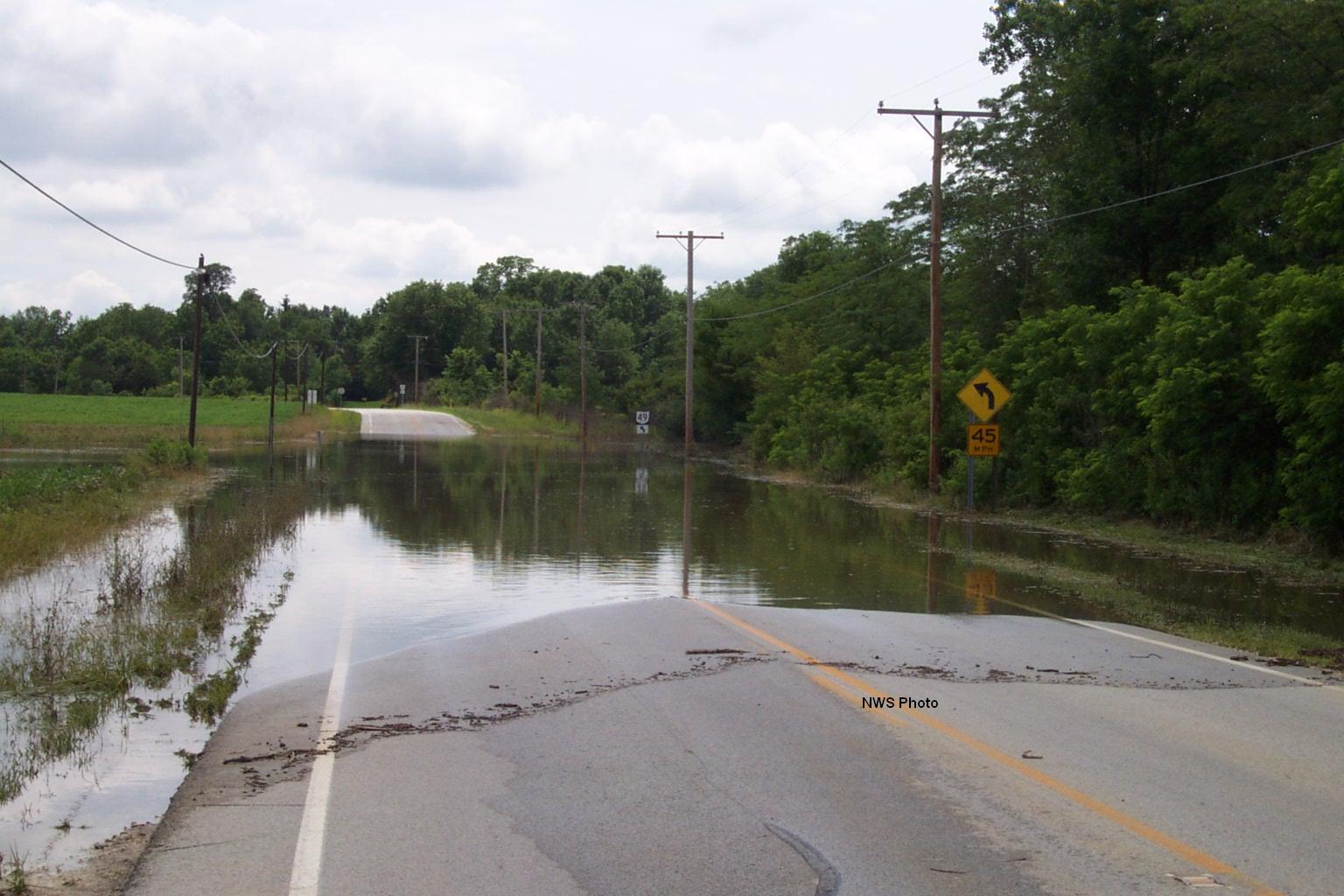
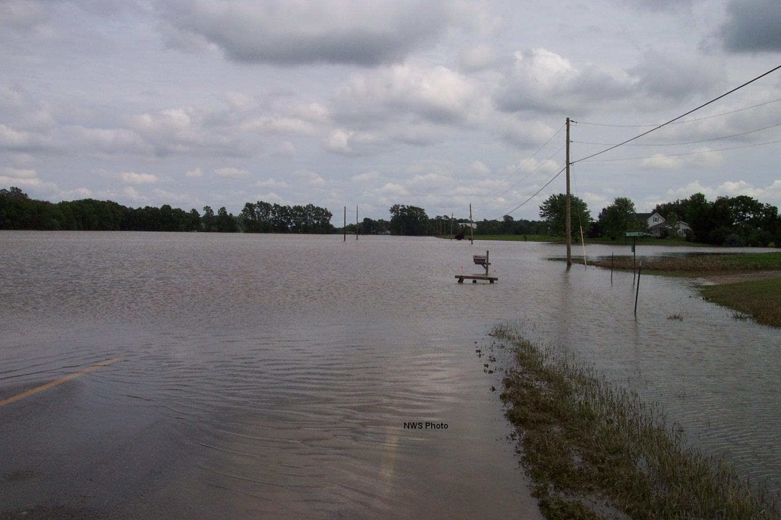
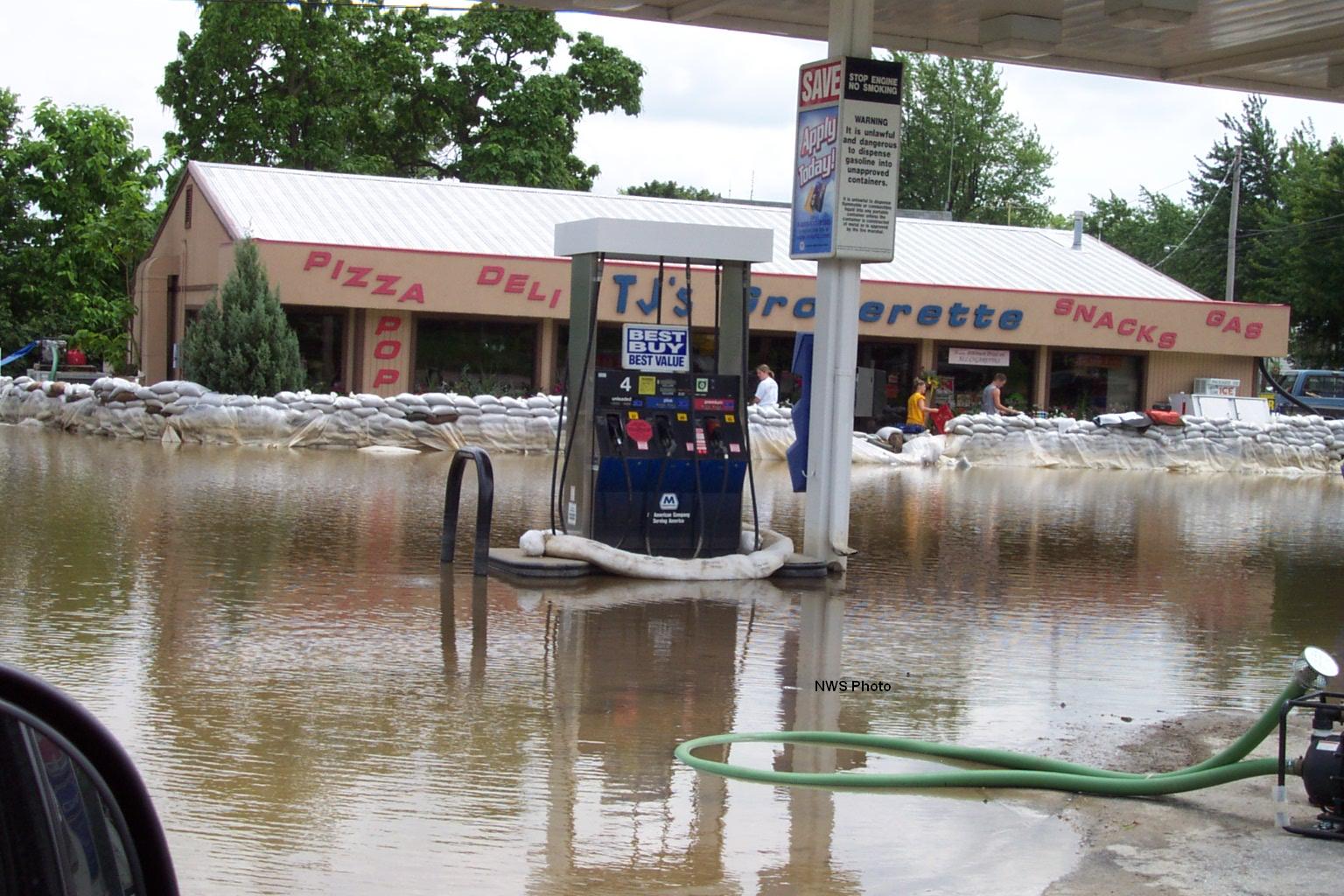
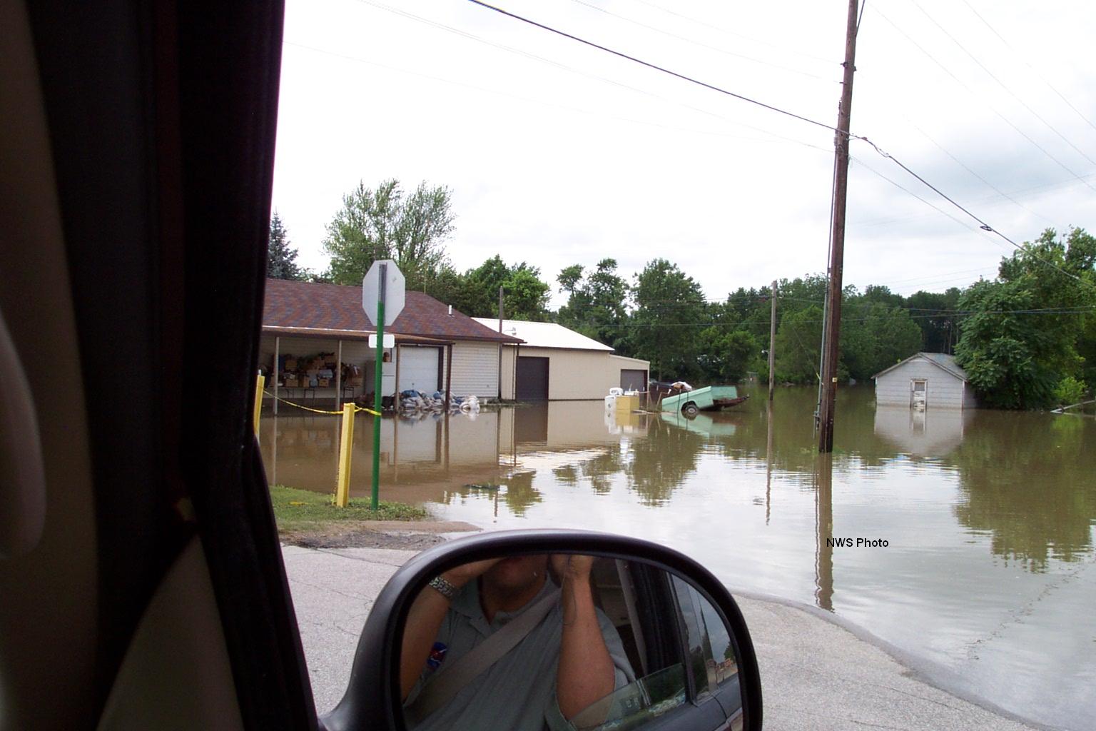
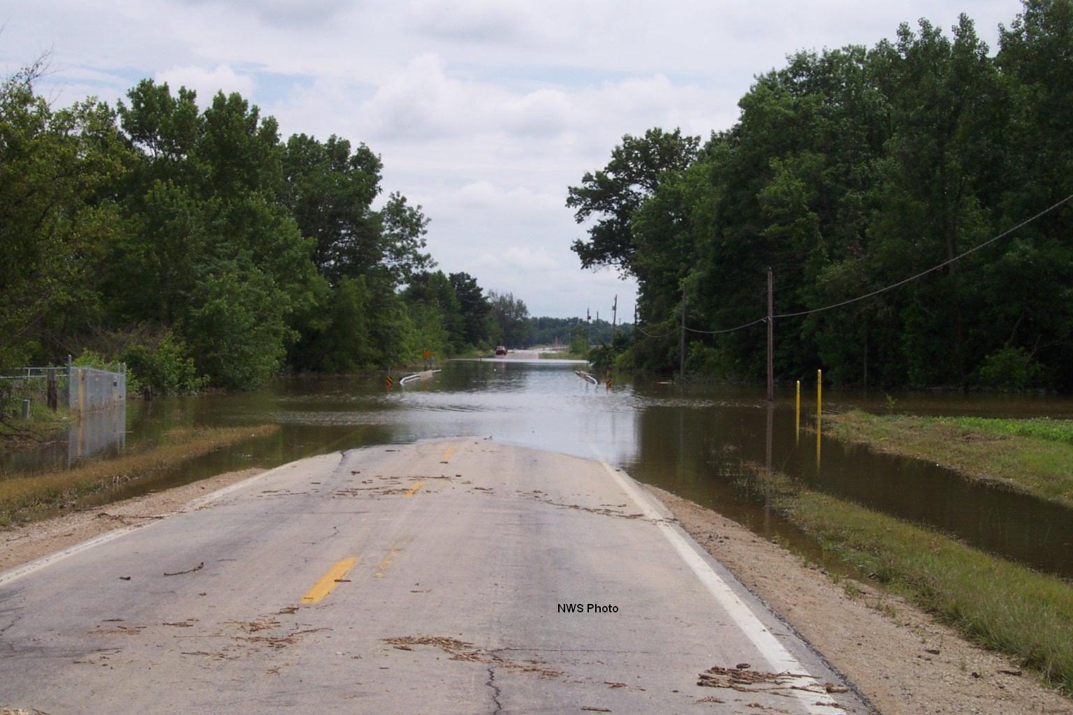
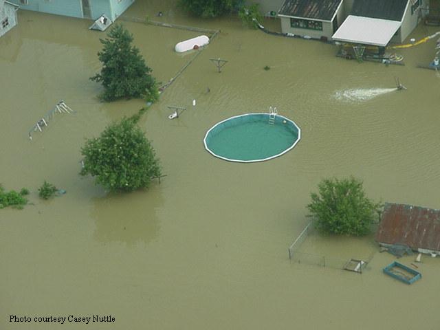
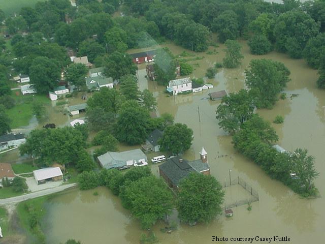
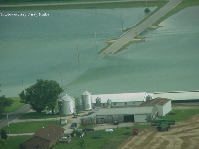
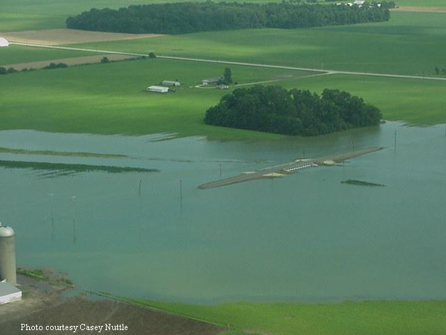
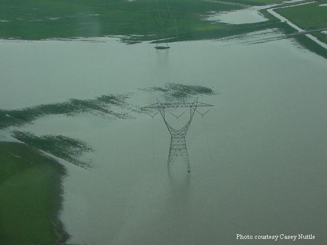
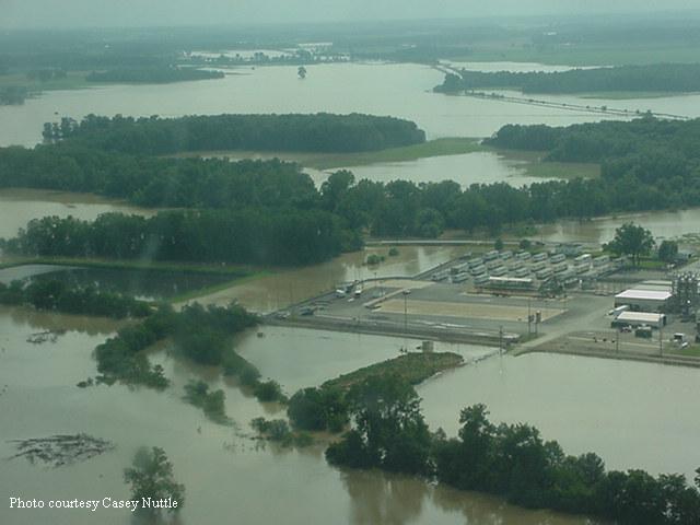
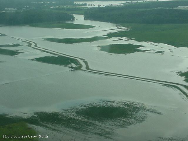
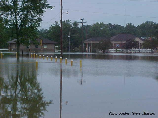
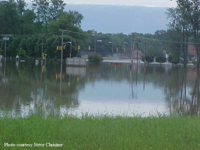
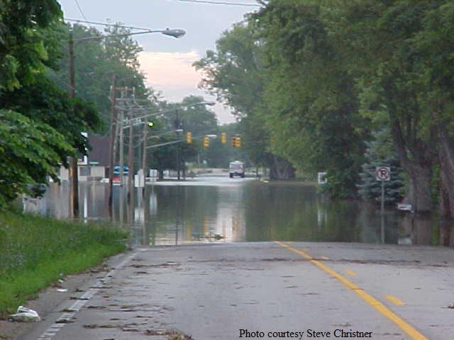
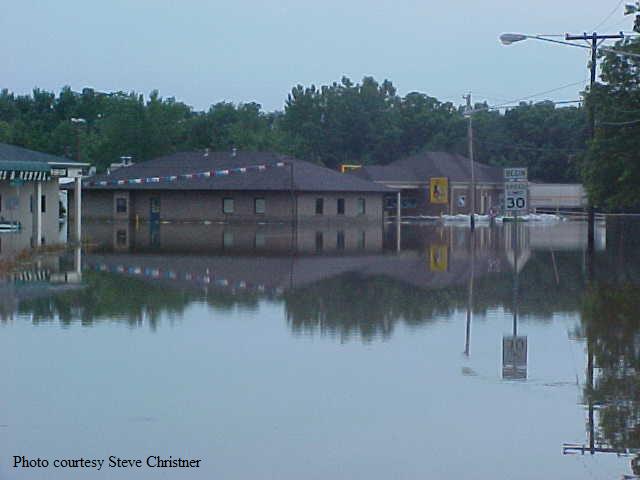
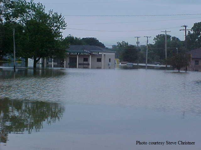
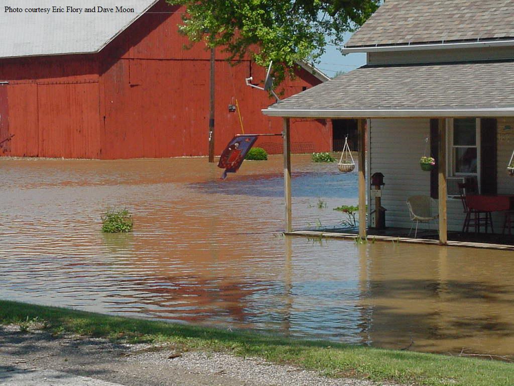
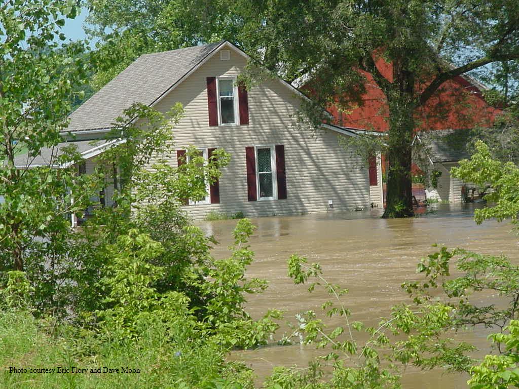
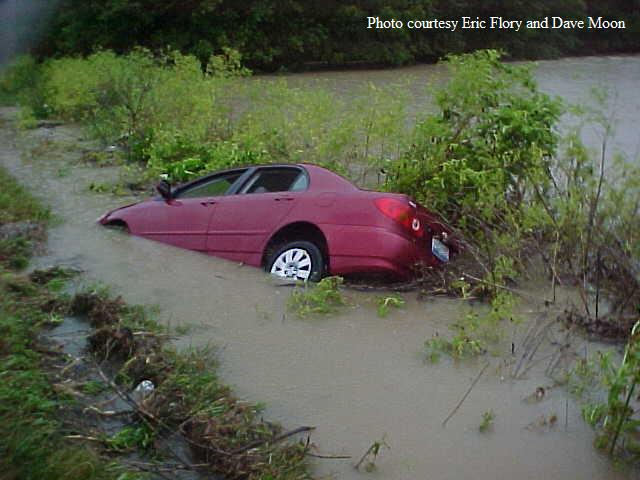
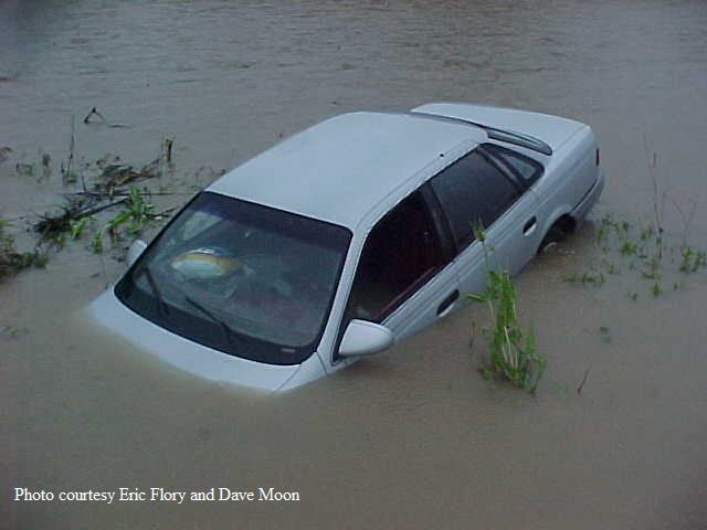
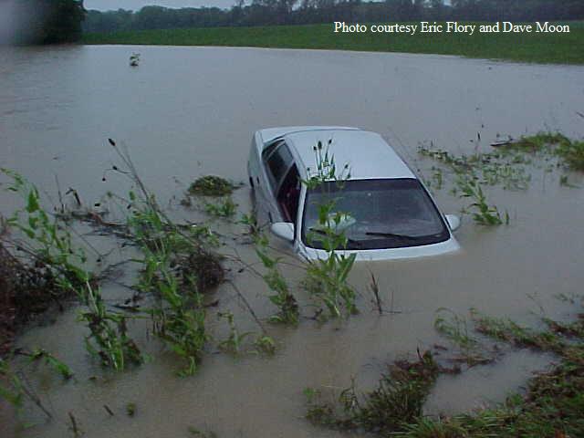
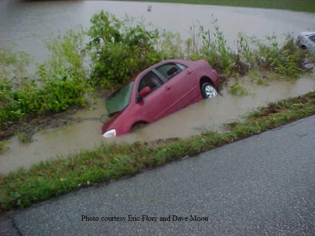
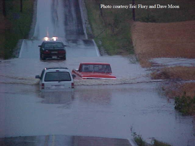
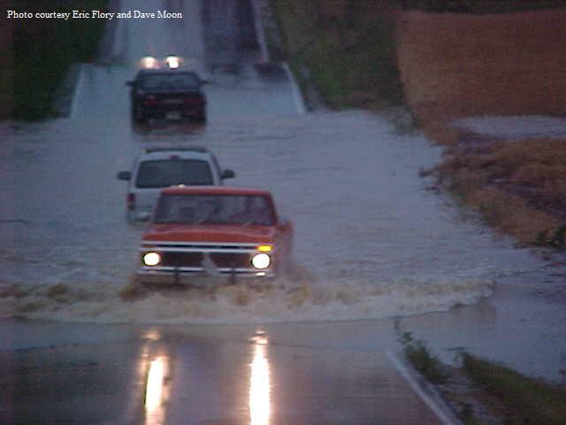
Heavy thunderstorm rains led to flash flooding in many areas over the Fourth of July holiday weekend. Floods are a leading cause of weather-related deaths in the United States. It's important to know the risk of floods and flood safety rules.
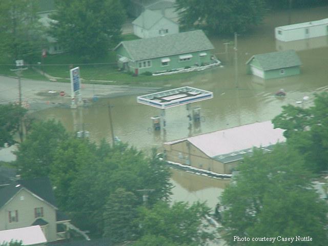
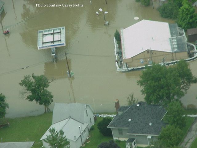
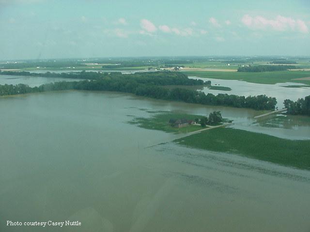
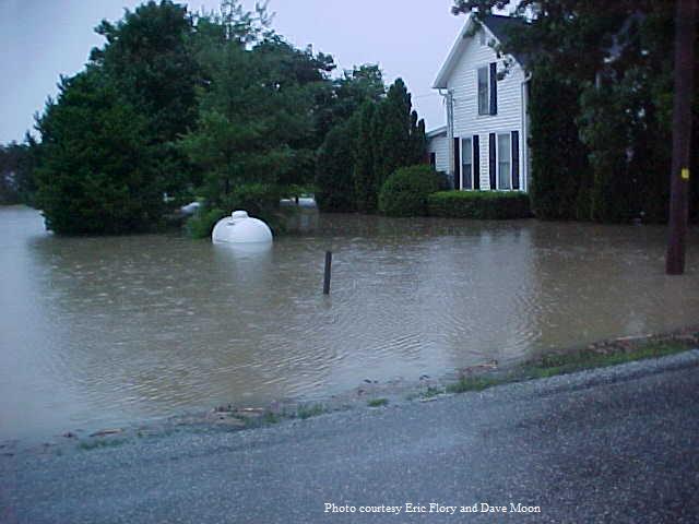
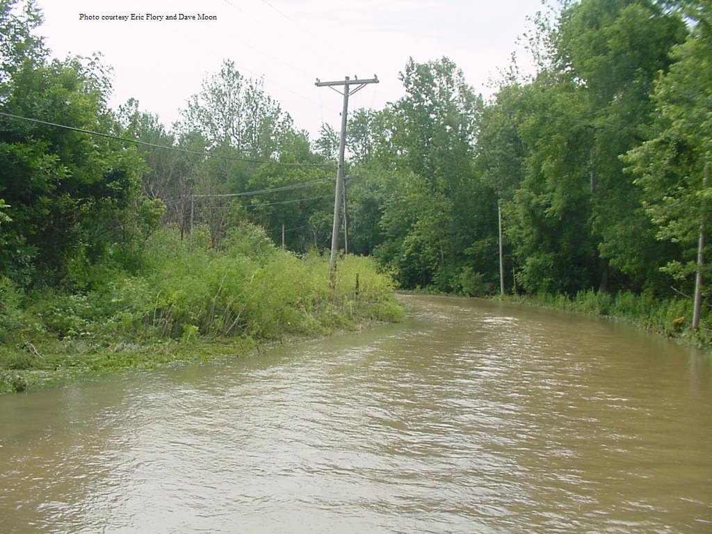
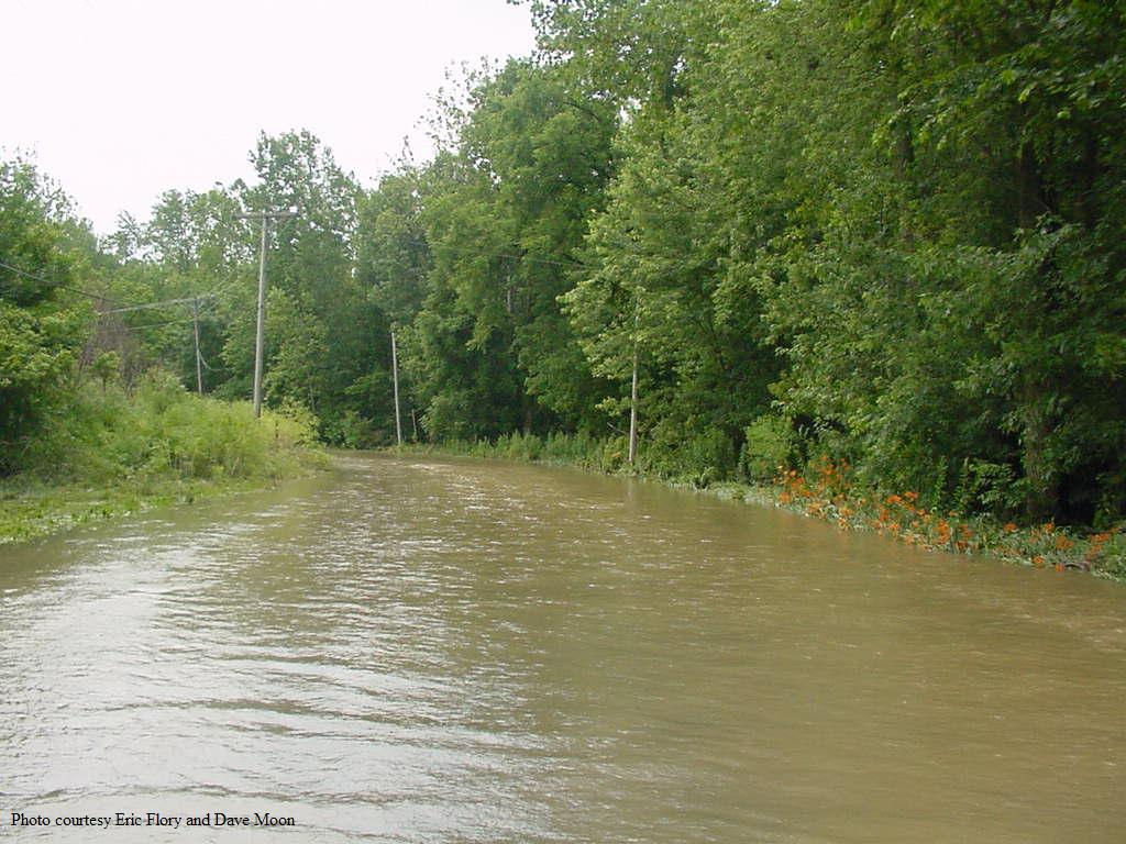
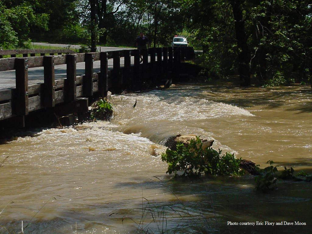
Below are some pictures of the flooding in Cass and Miami Counties in Indiana, courtesy of Eric Flory and Dave Moon of the Miami County Emergency Management Agency.
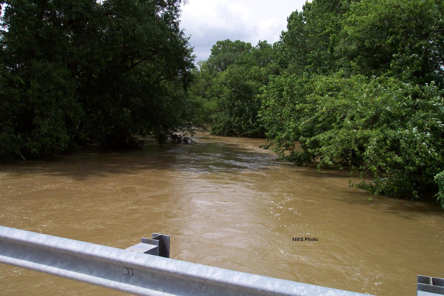
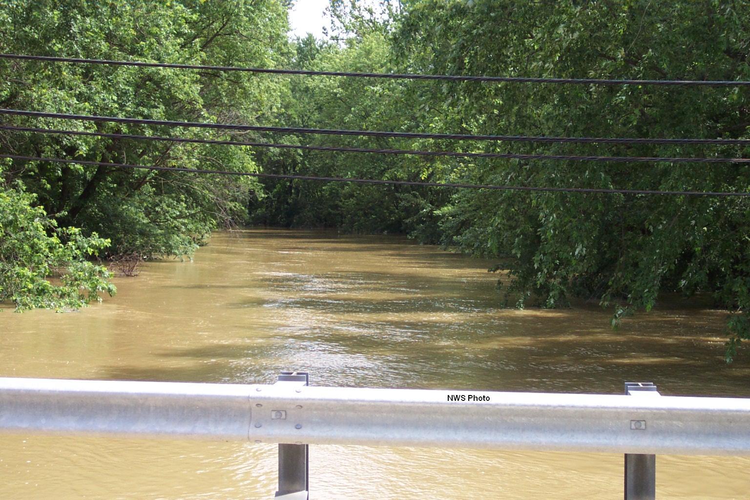
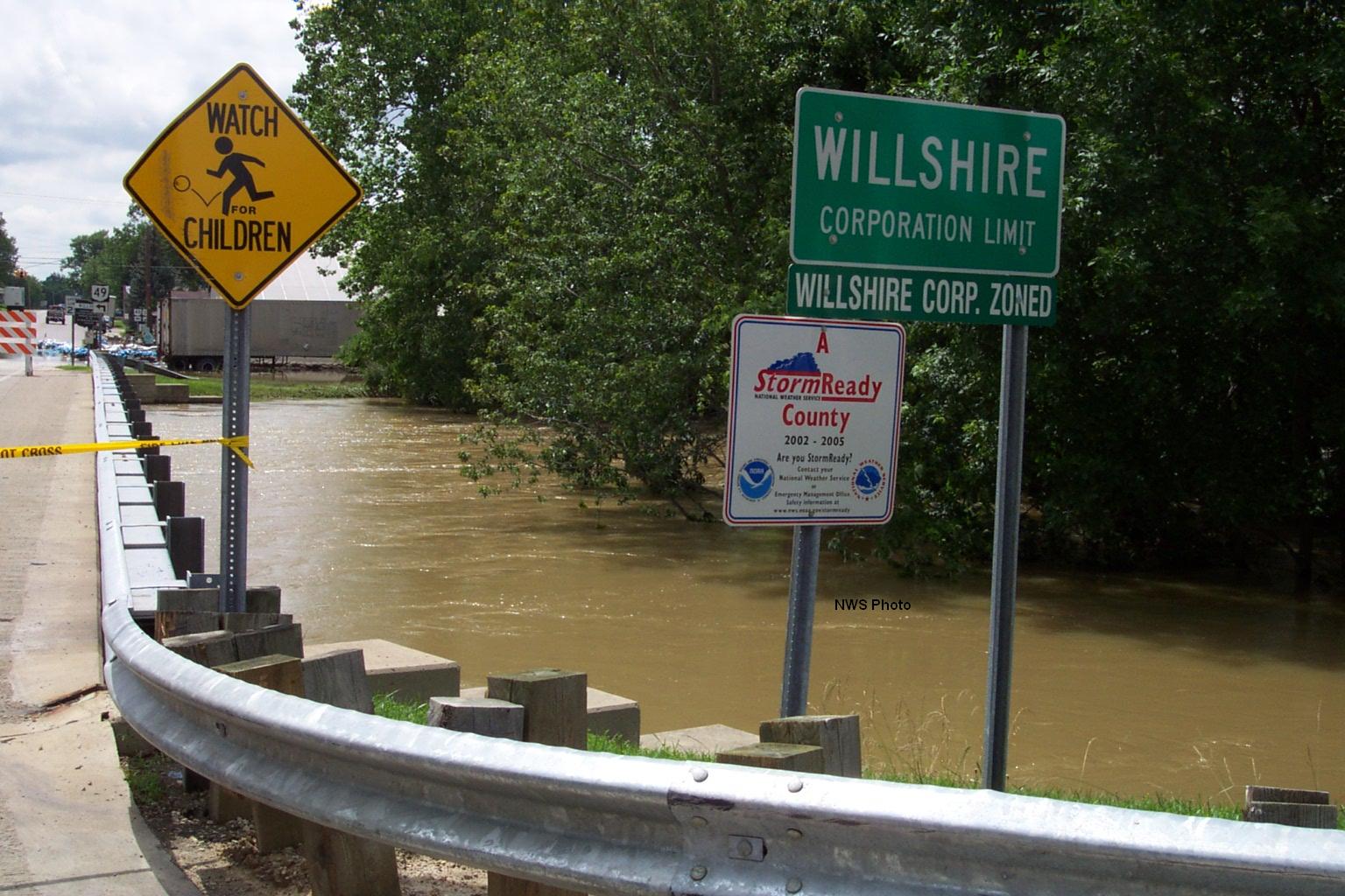
In Willshire:
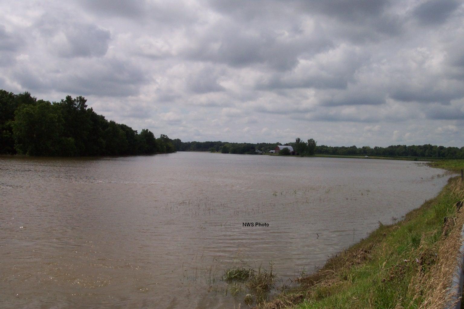
Around New Corydon:
Around Geneva:
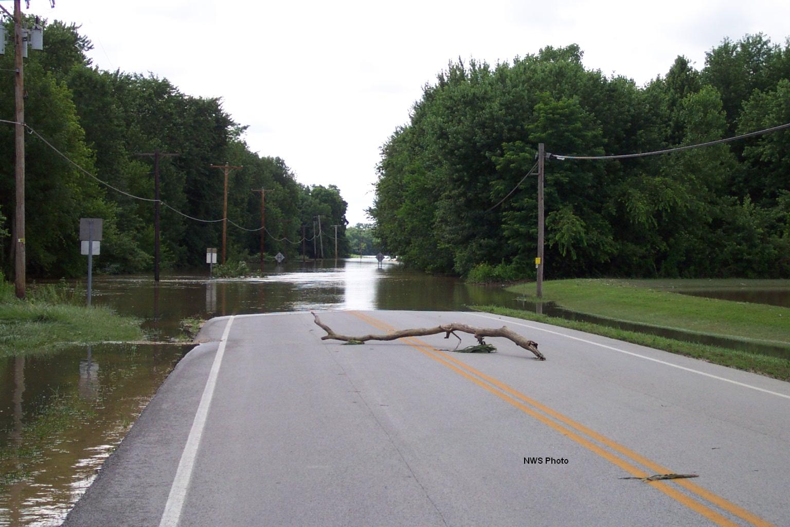
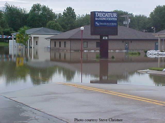
Flooding along US 224 in Decatur.
Following are pictures of flooding along US 224 in Decatur near the Macklin Bridge and Bellmont High School.
Hazards
Heat Related
Winter Related
Watch/Warning
Outlook
Storm Reports
Storm Prediction Center
Submit a Report
Event Ready
Climate
FWA Daily
SBN Daily
FWA Monthly
SBN Monthly
CoCoRaHS
Spring Frost Climatology
Fall Frost Climatology
Severe Climatology
Local Information
Skywarn
COOP
Our Office
WSR-88D
Headline Criteria
NOAA Weather Radio
Weather History
Probabilistic Snowfall
Public Information Statement
Social Media Feeds
Weather Events Page
US Dept of Commerce
National Oceanic and Atmospheric Administration
National Weather Service
Northern Indiana
7506 E 850 N
Syracuse, IN 46567
574-834-1104
Comments? Questions? Please Contact Us.

