Northern Indiana
Weather Forecast Office
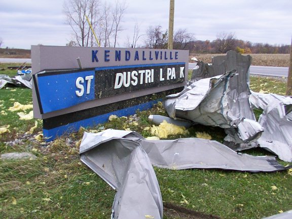
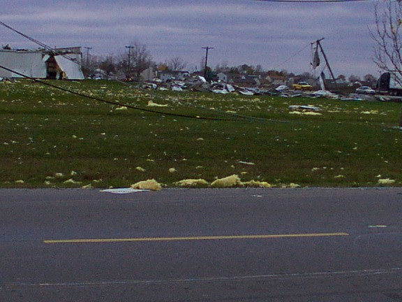
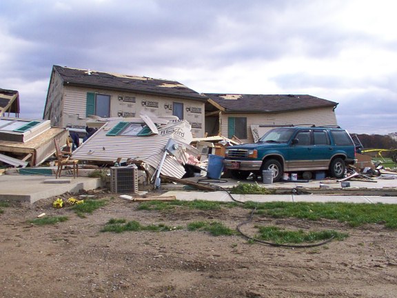
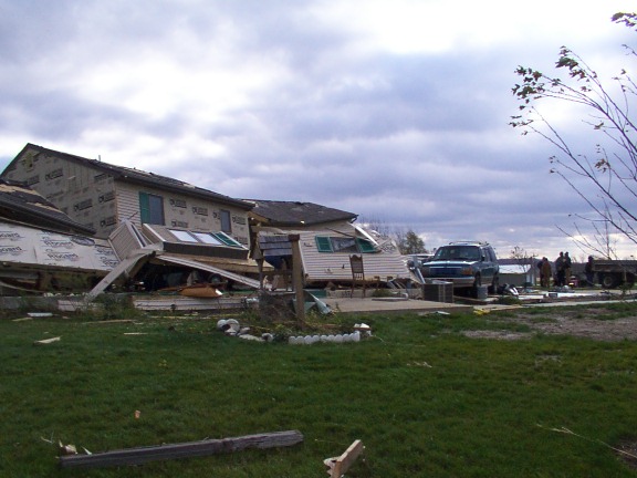
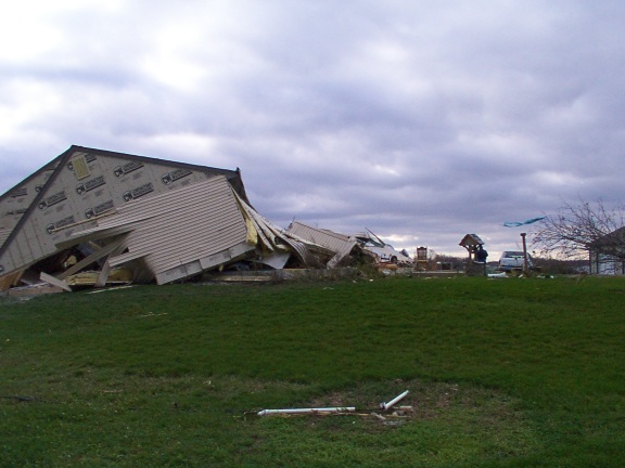
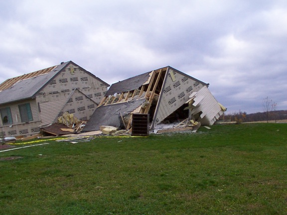
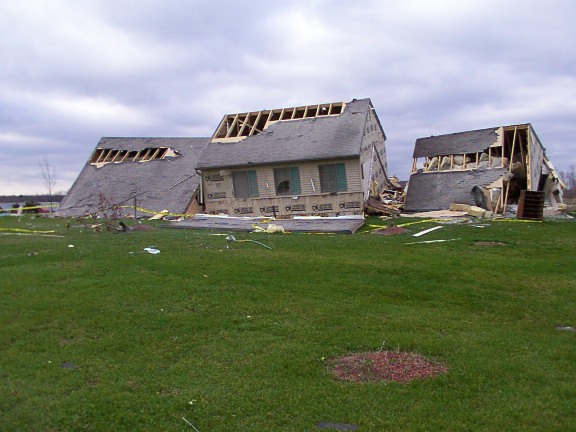
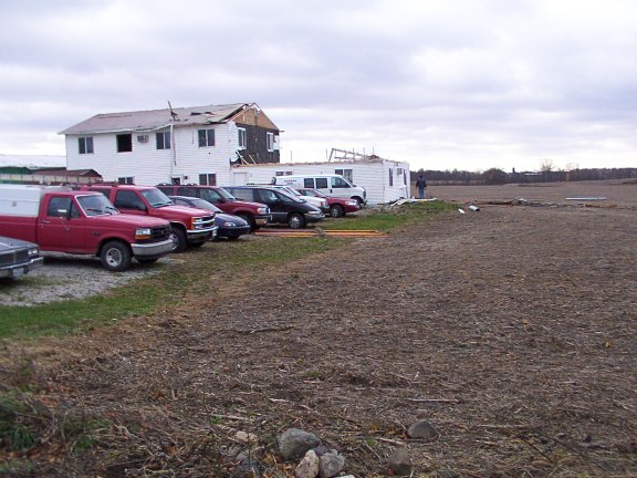
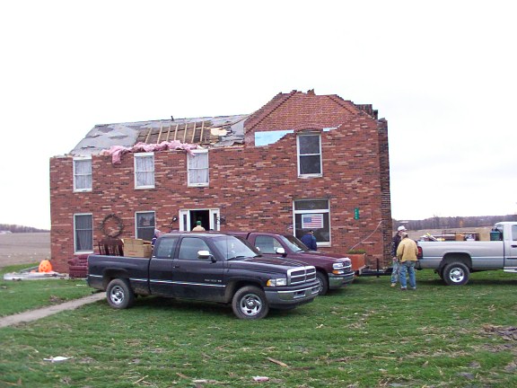
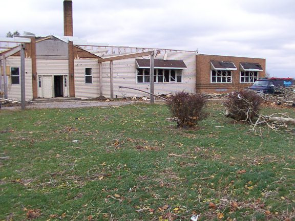
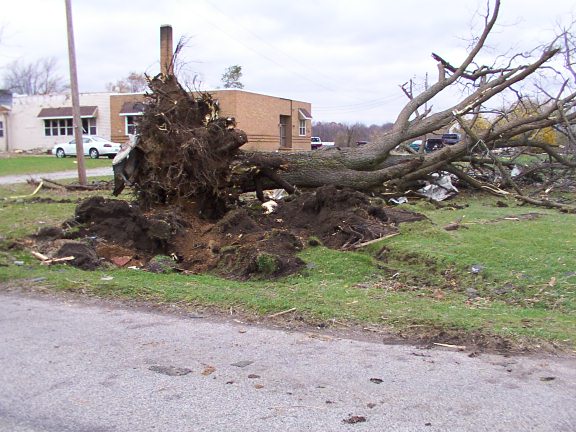
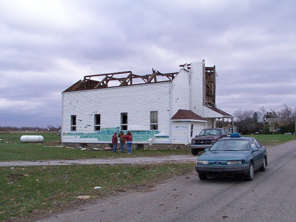
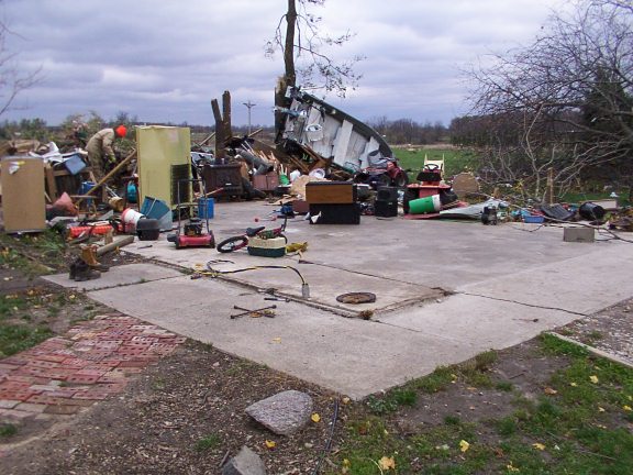
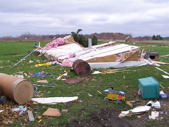
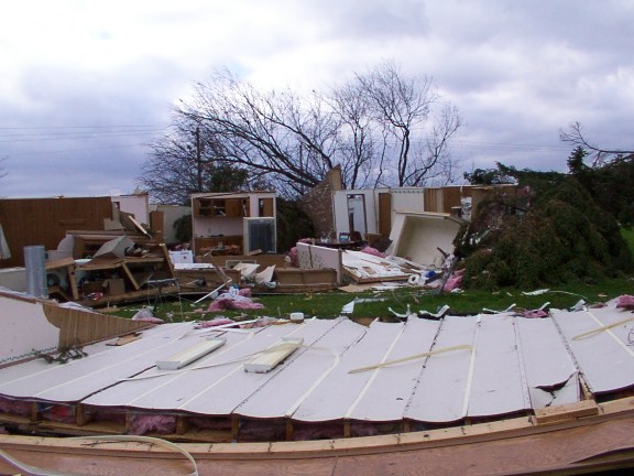
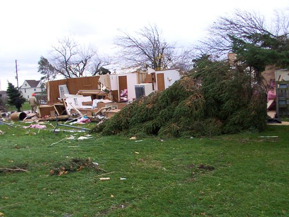
The day's seventh tornado began at 5:00 p.m. EST about a mile east of Kendallville in an industrial park. The tempest took off to the northeast, smashing through Fairfield Center in DeKalb County, then lifting just north of Steubenville in Steuben County. The path length was 12 and a half miles, with a maximum width of a quarter mile. It produced F2 damage at Fairfield Center.
East side of Kendallville:
Noble/DeKalb county line:
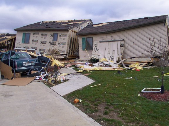
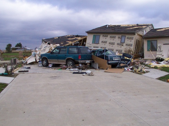
Indian Lake, DeKalb County:
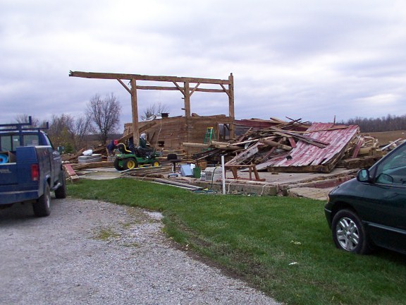
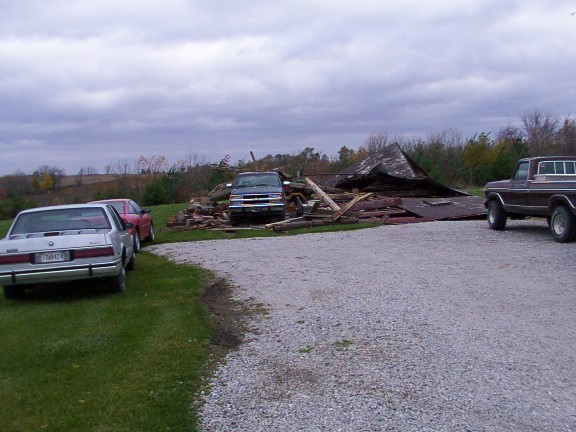
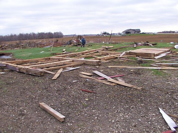
Fairfield Center, DeKalb County:
Hazards
Heat Related
Winter Related
Watch/Warning
Outlook
Storm Reports
Storm Prediction Center
Submit a Report
Event Ready
Climate
FWA Daily
SBN Daily
FWA Monthly
SBN Monthly
CoCoRaHS
Spring Frost Climatology
Fall Frost Climatology
Severe Climatology
Local Information
Skywarn
COOP
Our Office
WSR-88D
Headline Criteria
NOAA Weather Radio
Weather History
Probabilistic Snowfall
Public Information Statement
Social Media Feeds
Weather Events Page
US Dept of Commerce
National Oceanic and Atmospheric Administration
National Weather Service
Northern Indiana
7506 E 850 N
Syracuse, IN 46567
574-834-1104
Comments? Questions? Please Contact Us.

